1801 Agnes Cir Springtown, TX 76082
Estimated Value: $572,000
--
Bed
--
Bath
2,809
Sq Ft
$204/Sq Ft
Est. Value
About This Home
This home is located at 1801 Agnes Cir, Springtown, TX 76082 and is currently estimated at $572,000, approximately $203 per square foot. 1801 Agnes Cir is a home located in Parker County with nearby schools including Goshen Creek Elementary School, Springtown Middle School, and Springtown Intermediate School.
Ownership History
Date
Name
Owned For
Owner Type
Purchase Details
Closed on
Jul 2, 2001
Sold by
Harris B W
Bought by
Harms Randy and Harms Leslie
Current Estimated Value
Purchase Details
Closed on
Sep 21, 2000
Sold by
Allen Bradley C
Bought by
Harms Randy and Harms Leslie
Purchase Details
Closed on
Oct 25, 1993
Bought by
Harms Randy and Harms Leslie
Purchase Details
Closed on
Aug 19, 1993
Bought by
Harms Randy and Harms Leslie
Create a Home Valuation Report for This Property
The Home Valuation Report is an in-depth analysis detailing your home's value as well as a comparison with similar homes in the area
Home Values in the Area
Average Home Value in this Area
Purchase History
| Date | Buyer | Sale Price | Title Company |
|---|---|---|---|
| Harms Randy | -- | -- | |
| Harms Randy | -- | -- | |
| Harms Randy | -- | -- | |
| Harms Randy | -- | -- |
Source: Public Records
Tax History Compared to Growth
Tax History
| Year | Tax Paid | Tax Assessment Tax Assessment Total Assessment is a certain percentage of the fair market value that is determined by local assessors to be the total taxable value of land and additions on the property. | Land | Improvement |
|---|---|---|---|---|
| 2025 | $5,864 | $458,430 | $29,640 | $428,790 |
| 2024 | $5,864 | $439,967 | -- | -- |
| 2023 | $5,864 | $399,970 | $0 | $0 |
| 2022 | $6,484 | $365,720 | $15,000 | $350,720 |
| 2021 | $6,398 | $365,720 | $15,000 | $350,720 |
| 2020 | $5,798 | $300,510 | $10,990 | $289,520 |
| 2019 | $6,232 | $300,510 | $10,990 | $289,520 |
| 2018 | $5,642 | $271,230 | $5,580 | $265,650 |
| 2017 | $5,654 | $271,230 | $5,580 | $265,650 |
| 2016 | $5,140 | $235,800 | $5,580 | $230,220 |
| 2015 | $4,710 | $235,800 | $5,580 | $230,220 |
| 2014 | $4,717 | $226,990 | $6,760 | $220,230 |
Source: Public Records
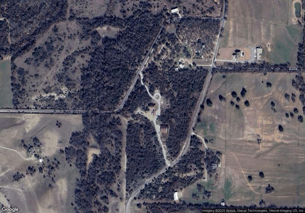
Map
Nearby Homes
- 124 Stanford Ln
- 206 E Arbor Ct
- 1028 Gatlin Cir
- 8950 Prather Rd
- 125 Stella Ln
- 317 Palo Alto Dr
- 1020 Gatlin Cir
- 1021 Gatlin Cir
- 1016 Gatlin Cir
- Caleb Plan at Rocky Top Ranch
- Pecos Plan at Rocky Top Ranch
- Sophia Plan at Rocky Top Ranch
- Palo Verde Plan at Rocky Top Ranch
- Sophia Plan at Gatlin Ranch
- Camden Plan at Rocky Top Ranch
- Shelby Plan at Rocky Top Ranch
- Connor Plan at Rocky Top Ranch
- Simon Plan at Rocky Top Ranch
- Pinnacle Plan at Rocky Top Ranch
- Micah Plan at Rocky Top Ranch
- 10101 Prather Rd
- 10111 Prather Rd
- 9900 Prather Rd
- 1700 Agnes Cir
- 2221 Agnes Cir
- 9600 Prather Rd
- 10090 Prather Rd
- 1451 Agnes Cir
- 10100 Prather Rd
- 2200 Agnes Cir
- 2250 Agnes Cir
- 2235 Agnes Cir
- 3657 Goshen Rd
- 3569 Goshen Rd
- 1225 Agnes Cir
- 404 Willow Creek Ln
- 9288 Prather Rd
- 165 Lavender Ln
- 1200 Agnes Cir
- 161 Lavender Ln