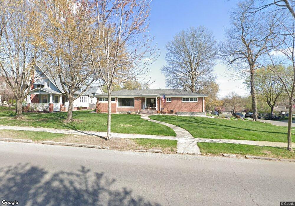
1801 Ashland Ave Saint Joseph, MO 64506
Ashland NeighborhoodEstimated Value: $258,000 - $290,000
--
Bed
--
Bath
1,604
Sq Ft
$169/Sq Ft
Est. Value
About This Home
This home is located at 1801 Ashland Ave, Saint Joseph, MO 64506 and is currently estimated at $270,360, approximately $168 per square foot. 1801 Ashland Ave is a home located in Buchanan County with nearby schools including Coleman Elementary School, Bode Middle School, and Central High School.
Ownership History
Date
Name
Owned For
Owner Type
Purchase Details
Closed on
Dec 29, 2014
Sold by
Koch Ryan F and Koch Ann E
Bought by
Hensley Robert E and Hensley Lisa G
Current Estimated Value
Home Financials for this Owner
Home Financials are based on the most recent Mortgage that was taken out on this home.
Original Mortgage
$173,850
Outstanding Balance
$133,992
Interest Rate
4.01%
Mortgage Type
New Conventional
Estimated Equity
$136,368
Purchase Details
Closed on
Oct 17, 2008
Sold by
Swymeler Charles S
Bought by
Swymeler Charles S and Pulliam Gary E
Create a Home Valuation Report for This Property
The Home Valuation Report is an in-depth analysis detailing your home's value as well as a comparison with similar homes in the area
Home Values in the Area
Average Home Value in this Area
Purchase History
| Date | Buyer | Sale Price | Title Company |
|---|---|---|---|
| Hensley Robert E | -- | First American Title | |
| Swymeler Charles S | -- | Old Republic Title Company |
Source: Public Records
Mortgage History
| Date | Status | Borrower | Loan Amount |
|---|---|---|---|
| Open | Hensley Robert E | $173,850 |
Source: Public Records
Tax History Compared to Growth
Tax History
| Year | Tax Paid | Tax Assessment Tax Assessment Total Assessment is a certain percentage of the fair market value that is determined by local assessors to be the total taxable value of land and additions on the property. | Land | Improvement |
|---|---|---|---|---|
| 2024 | $1,887 | $26,210 | $6,240 | $19,970 |
| 2023 | $1,887 | $26,210 | $6,240 | $19,970 |
| 2022 | $1,742 | $26,210 | $6,240 | $19,970 |
| 2021 | $1,750 | $26,210 | $6,240 | $19,970 |
| 2020 | $1,739 | $26,210 | $6,240 | $19,970 |
| 2019 | $1,680 | $26,210 | $6,240 | $19,970 |
| 2018 | $1,518 | $26,210 | $6,240 | $19,970 |
| 2017 | $1,504 | $26,210 | $0 | $0 |
| 2015 | $0 | $26,210 | $0 | $0 |
| 2014 | $1,648 | $26,210 | $0 | $0 |
Source: Public Records
Map
Nearby Homes
- 2110 Ashland Ave
- 3025 Douglas St
- 3101 Douglas St
- 2808 Frederick Ave
- 920 N Noyes Blvd
- 2604 Frederick Ave
- 3030 Frederick Ave
- 2517 Jones St
- 833 N 25th St
- 1802 N 22nd St
- 2519 Forest Ave
- 840 N 25th St
- 2011 E Highland Ave
- 1321 N 20th St
- 2217 Jones St
- 2528 Union St
- 701 N 25th St
- 1912 Holman St
- 2102 N 34th Terrace
- 2211 Lovers Ln
- 2835 Douglas St
- 1725 Ashland Ave
- 1815 Ashland Ave
- 1723 Ashland Ave
- 1817 Ashland Ave
- 1802 Ashland Ave
- 1808 Ashland Ave
- 1802 N 29th St
- 1808 N 29th St
- 1814 Ashland Ave
- 1721 Ashland Ave
- 1821 Ashland Ave
- 1726 Ashland Ave
- 1820 Ashland Ave
- 1720 N 29th St
- 1818 N 29th St
- 1831 Ashland Ave
- 1619 Ashland Ave
- 1824 Ashland Ave
- 2805 Douglas St