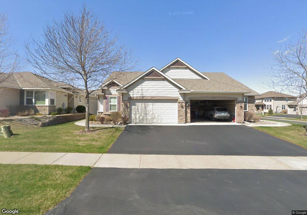
18018 62nd Ave N Maple Grove, MN 55311
Estimated Value: $461,558 - $535,000
3
Beds
3
Baths
2,301
Sq Ft
$215/Sq Ft
Est. Value
About This Home
This home is located at 18018 62nd Ave N, Maple Grove, MN 55311 and is currently estimated at $494,890, approximately $215 per square foot. 18018 62nd Ave N is a home located in Hennepin County with nearby schools including Wayzata Central Middle School, Wayzata High School, and Ave Maria Academy.
Ownership History
Date
Name
Owned For
Owner Type
Purchase Details
Closed on
Aug 6, 2025
Sold by
Deveau Gary L and Deveau Terri A
Bought by
Gary And Terri Deveau Living Trust and Deveau
Current Estimated Value
Purchase Details
Closed on
Oct 30, 2019
Sold by
Sather Mary A and Sather Kevin D
Bought by
Deveau Gary L and Deveau Terri A
Home Financials for this Owner
Home Financials are based on the most recent Mortgage that was taken out on this home.
Original Mortgage
$342,000
Interest Rate
3.6%
Mortgage Type
New Conventional
Purchase Details
Closed on
Nov 21, 2012
Sold by
Us Home Corporation
Bought by
Sather Kevin D and Sather Mary A
Home Financials for this Owner
Home Financials are based on the most recent Mortgage that was taken out on this home.
Original Mortgage
$121,395
Interest Rate
2.69%
Mortgage Type
New Conventional
Create a Home Valuation Report for This Property
The Home Valuation Report is an in-depth analysis detailing your home's value as well as a comparison with similar homes in the area
Home Values in the Area
Average Home Value in this Area
Purchase History
| Date | Buyer | Sale Price | Title Company |
|---|---|---|---|
| Gary And Terri Deveau Living Trust | -- | None Listed On Document | |
| Deveau Gary L | $380,000 | Legacy Title Coon Rapids | |
| Sather Kevin D | $291,394 | North American Title Co |
Source: Public Records
Mortgage History
| Date | Status | Borrower | Loan Amount |
|---|---|---|---|
| Previous Owner | Deveau Gary L | $342,000 | |
| Previous Owner | Sather Kevin D | $121,395 |
Source: Public Records
Tax History Compared to Growth
Tax History
| Year | Tax Paid | Tax Assessment Tax Assessment Total Assessment is a certain percentage of the fair market value that is determined by local assessors to be the total taxable value of land and additions on the property. | Land | Improvement |
|---|---|---|---|---|
| 2024 | $5,074 | $447,100 | $102,700 | $344,400 |
| 2023 | $4,567 | $417,400 | $62,100 | $355,300 |
| 2022 | $4,828 | $408,800 | $52,200 | $356,600 |
| 2021 | $4,784 | $385,100 | $60,500 | $324,600 |
| 2020 | $4,800 | $378,600 | $65,000 | $313,600 |
| 2019 | $4,675 | $366,800 | $62,900 | $303,900 |
| 2018 | $4,550 | $353,300 | $75,900 | $277,400 |
| 2017 | $4,132 | $307,600 | $90,000 | $217,600 |
| 2016 | $4,464 | $322,000 | $102,000 | $220,000 |
| 2015 | $4,073 | $290,800 | $100,000 | $190,800 |
| 2014 | -- | $253,100 | $75,000 | $178,100 |
Source: Public Records
Map
Nearby Homes
- 17749 62nd Ave N
- 6205 Ranier Ln N
- 6300 Ranier Ln N
- 6287 Fountain Ln N
- 17716 Elm Rd N
- 6508 Merrimac Ln N Unit 6508
- 6566 Merrimac Ln N
- 5989 Xanthus Ln N
- 6324 Fountain Ln N
- 6647 Peony Ln N
- 6165 Garland Ln N
- 18120 57th Ave N
- 17812 66th Ave N
- 6540 Yellowstone Ln N
- 5895 Garland Ln N
- 6750 Troy Ln N
- 5865 Garland Ln N
- 6757 Urbandale Ln N
- 6288 Larkspur Ln
- 6290 Larkspur Ln
- 18018 18018 62nd-Avenue-n
- 18010 18010 62nd-Avenue-n
- 18026 18026 62nd-Avenue-n
- 18026 62nd Ave N
- 18010 62nd Ave N
- 18034 62nd Ave N
- 18034 18034 62nd-Avenue-n
- 18019 18019 62nd-Avenue-n
- 18011 62nd Ave N
- 18027 62nd Ave N
- 18050 18050 62nd-Avenue-n
- 18050 62nd Ave N
- 18035 62nd Ave N
- 18001 62nd Place N
- 18043 62nd Place N
- 18001 18001 62nd-Place-n
- 18047 62nd Ave N
- 18055 62nd Place N
- 17965 62nd Ave N
- 18043 18043 62nd-Place-n