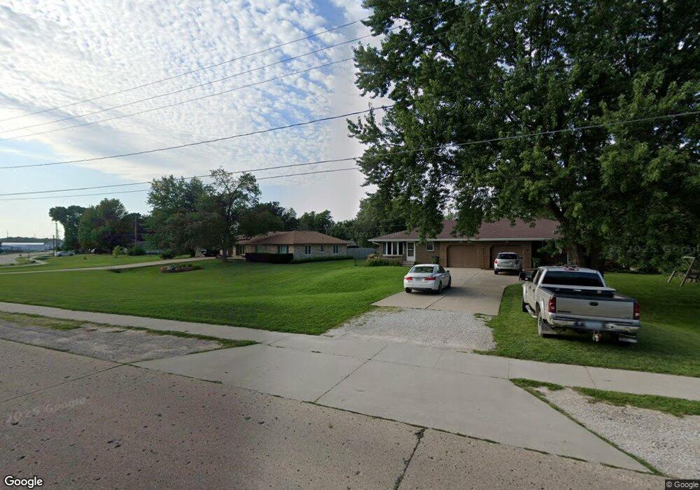
1802 State St Unit B Granger, IA 50109
Estimated Value: $181,000 - $414,000
2
Beds
1
Bath
1,096
Sq Ft
$224/Sq Ft
Est. Value
About This Home
This home is located at 1802 State St Unit B, Granger, IA 50109 and is currently estimated at $245,594, approximately $224 per square foot. 1802 State St Unit B is a home located in Dallas County with nearby schools including Woodward-Granger Elementary School and Woodward-Granger Middle School.
Ownership History
Date
Name
Owned For
Owner Type
Purchase Details
Closed on
Jul 10, 2018
Sold by
Grubbs Properties Llc
Bought by
Morgan Joseph N and Morgan Joan L
Current Estimated Value
Home Financials for this Owner
Home Financials are based on the most recent Mortgage that was taken out on this home.
Original Mortgage
$110,800
Outstanding Balance
$96,025
Interest Rate
4.5%
Mortgage Type
New Conventional
Estimated Equity
$149,569
Create a Home Valuation Report for This Property
The Home Valuation Report is an in-depth analysis detailing your home's value as well as a comparison with similar homes in the area
Home Values in the Area
Average Home Value in this Area
Purchase History
| Date | Buyer | Sale Price | Title Company |
|---|---|---|---|
| Morgan Joseph N | $138,500 | None Available |
Source: Public Records
Mortgage History
| Date | Status | Borrower | Loan Amount |
|---|---|---|---|
| Open | Morgan Joseph N | $110,800 |
Source: Public Records
Tax History Compared to Growth
Tax History
| Year | Tax Paid | Tax Assessment Tax Assessment Total Assessment is a certain percentage of the fair market value that is determined by local assessors to be the total taxable value of land and additions on the property. | Land | Improvement |
|---|---|---|---|---|
| 2024 | $3,272 | $174,800 | $19,640 | $155,160 |
| 2023 | $3,272 | $174,800 | $19,640 | $155,160 |
| 2022 | $2,780 | $156,660 | $19,640 | $137,020 |
| 2021 | $2,780 | $136,110 | $19,640 | $116,470 |
| 2020 | $2,790 | $130,120 | $19,640 | $110,480 |
| 2019 | $2,788 | $130,120 | $19,640 | $110,480 |
| 2018 | $2,788 | $121,760 | $18,460 | $103,300 |
| 2017 | $2,812 | $121,760 | $18,460 | $103,300 |
| 2016 | $2,694 | $117,820 | $18,460 | $99,360 |
| 2015 | $2,348 | $106,070 | $0 | $0 |
| 2014 | $2,306 | $106,070 | $0 | $0 |
Source: Public Records
Map
Nearby Homes
- 1803 Walnut St
- 1806 Main St
- 2206 White Oak Ln
- 2004 White Oak Ln
- 2103 White Oak Ln
- Hoover C Plan at Oxley Creek West
- Hoover B Plan at Oxley Creek West
- Dogwood B Plan at Oxley Creek West
- Harrison IV Plan at Oxley Creek West
- Grant Plan at Oxley Creek West
- Fillmore Plan at Oxley Creek West
- Spencer I Plan at Oxley Creek West
- Eisenhower Plan at Oxley Creek West
- 2208 White Oak Ln
- 33047 Finestead Dr
- Coolidge Plan at Ironwood Estates
- Hoover Plan at Ironwood Estates
- Grant Plan at Ironwood Estates
- Eisenhower Plan at Ironwood Estates
- Bradley Plan at Ironwood Estates
- 1802 State St
- 1802 State St Unit A & B
- 1802 State St Unit A
- 1802 State St
- 1802 State St
- 1802 State St Unit B
- 1804 State St
- 1800 State St
- 2003 Maple St
- 2004 Maple St
- 1806 State St
- 0 Maple Parcel 004
- 2004 West St
- 2003 Pine St
- 1807 State St
- 1805 State St
- 1910 West St
- 2005 Maple St
- 2006 Maple St
- 1803 State St