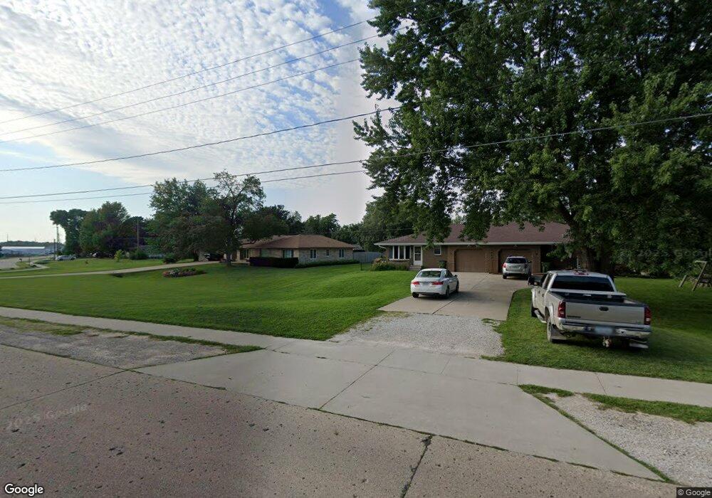
1802 State St Granger, IA 50109
Estimated Value: $177,000 - $253,000
2
Beds
2
Baths
1,096
Sq Ft
$185/Sq Ft
Est. Value
About This Home
This home is located at 1802 State St, Granger, IA 50109 and is currently estimated at $202,406, approximately $184 per square foot. 1802 State St is a home located in Dallas County with nearby schools including Woodward-Granger Elementary School and Woodward-Granger Middle School.
Ownership History
Date
Name
Owned For
Owner Type
Purchase Details
Closed on
Feb 23, 2023
Sold by
Schultz Megann A
Bought by
Koch Ryan and Koch Shannon
Current Estimated Value
Home Financials for this Owner
Home Financials are based on the most recent Mortgage that was taken out on this home.
Original Mortgage
$154,000
Outstanding Balance
$148,657
Interest Rate
6.33%
Mortgage Type
New Conventional
Estimated Equity
$53,749
Purchase Details
Closed on
Jun 15, 2018
Sold by
Grubbs Properties Llc
Bought by
Schultz Megann A
Home Financials for this Owner
Home Financials are based on the most recent Mortgage that was taken out on this home.
Original Mortgage
$121,500
Interest Rate
4.49%
Mortgage Type
Adjustable Rate Mortgage/ARM
Create a Home Valuation Report for This Property
The Home Valuation Report is an in-depth analysis detailing your home's value as well as a comparison with similar homes in the area
Home Values in the Area
Average Home Value in this Area
Purchase History
| Date | Buyer | Sale Price | Title Company |
|---|---|---|---|
| Koch Ryan | $174,000 | -- | |
| Schultz Megann A | $135,000 | None Available |
Source: Public Records
Mortgage History
| Date | Status | Borrower | Loan Amount |
|---|---|---|---|
| Open | Koch Ryan | $154,000 | |
| Previous Owner | Schultz Megann A | $121,500 |
Source: Public Records
Tax History
| Year | Tax Paid | Tax Assessment Tax Assessment Total Assessment is a certain percentage of the fair market value that is determined by local assessors to be the total taxable value of land and additions on the property. | Land | Improvement |
|---|---|---|---|---|
| 2025 | $3,010 | $179,550 | $19,640 | $159,910 |
| 2024 | $3,086 | $174,800 | $19,640 | $155,160 |
| 2023 | $3,086 | $174,800 | $19,640 | $155,160 |
| 2022 | $2,598 | $156,660 | $19,640 | $137,020 |
| 2021 | $2,598 | $136,110 | $19,640 | $116,470 |
| 2020 | $2,602 | $130,120 | $19,640 | $110,480 |
| 2019 | $2,452 | $130,120 | $19,640 | $110,480 |
| 2018 | $2,452 | $115,660 | $18,460 | $97,200 |
| 2017 | $2,682 | $115,660 | $18,460 | $97,200 |
| 2016 | $2,570 | $112,360 | $18,460 | $93,900 |
| 2015 | $2,348 | $106,070 | $0 | $0 |
| 2014 | $2,348 | $106,070 | $0 | $0 |
Source: Public Records
Map
Nearby Homes
- 2009 Locust St
- 1906 Lowell St
- 1803 Walnut St
- 2207 Court St
- 2206 White Oak Ln
- 2103 White Oak Ln
- 2209 White Oak Ln
- 2208 White Oak Ln
- 2100 White Oak Ln
- 33047 Finestead Dr
- 1517 Maple St
- 1513 Maple St
- 1509 Maple St
- 2407 Chestnut St
- 2311 Oxley Dr
- 2317 Oxley Dr
- 2220 Kennedy Blvd
- 2413 Spruce St
- 2009 Oak St
- 2415 Spruce St
- 1802 State St
- 1802 State St Unit B
- 1802 State St Unit B
- 1802 State St
- 1802 State St Unit A & B
- 1802 State St Unit A
- 1804 State St
- 2003 Maple St
- 1806 State St
- 1800 State St
- 2004 West St
- 0 Maple Parcel 004
- 2004 Maple St
- 1910 West St
- 1807 State St
- 2005 Maple St
- 1805 State St
- 2003 Pine St
- 1900 State St
- 2006 West St
Your Personal Tour Guide
Ask me questions while you tour the home.