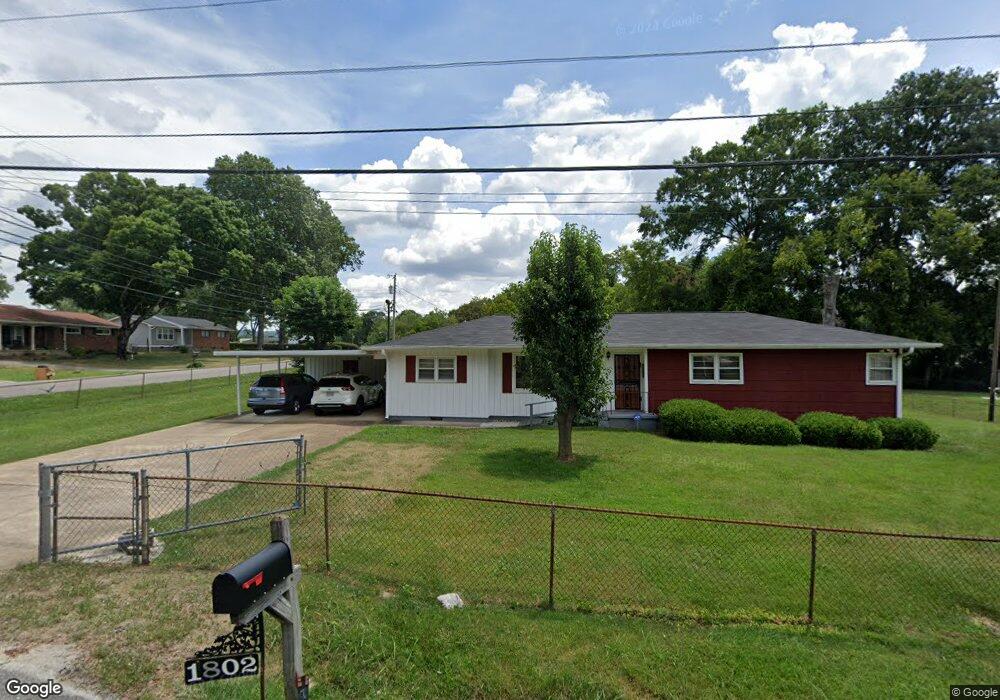
1802 Williams Rd Hixson, TN 37343
Dupont NeighborhoodEstimated Value: $229,423 - $264,000
Studio
--
Bath
1,066
Sq Ft
$230/Sq Ft
Est. Value
About This Home
This home is located at 1802 Williams Rd, Hixson, TN 37343 and is currently estimated at $244,856, approximately $229 per square foot. 1802 Williams Rd is a home located in Hamilton County with nearby schools including DuPont Elementary School, Hixson Middle School, and Hixson High School.
Ownership History
Date
Name
Owned For
Owner Type
Purchase Details
Closed on
Aug 19, 2025
Sold by
Anderson Stephen C
Bought by
Stephen Charles Anderson Revocable Trust and Anderson
Current Estimated Value
Purchase Details
Closed on
Jun 25, 2024
Sold by
Anderson Michael Glenn
Bought by
Anderson Stephen C
Purchase Details
Closed on
Oct 20, 2021
Sold by
Anderson Ernest Herschel and Anderson Beverly
Bought by
Anderson Beverly and Revocable Trust Of Beverly And
Create a Home Valuation Report for This Property
The Home Valuation Report is an in-depth analysis detailing your home's value as well as a comparison with similar homes in the area
Home Values in the Area
Average Home Value in this Area
Purchase History
| Date | Buyer | Sale Price | Title Company |
|---|---|---|---|
| Stephen Charles Anderson Revocable Trust | -- | None Listed On Document | |
| Stephen Charles Anderson Revocable Trust | -- | None Listed On Document | |
| Anderson Stephen C | $125,000 | None Listed On Document | |
| Anderson Stephen C | -- | None Listed On Document | |
| Anderson Beverly | -- | None Available |
Source: Public Records
Tax History
| Year | Tax Paid | Tax Assessment Tax Assessment Total Assessment is a certain percentage of the fair market value that is determined by local assessors to be the total taxable value of land and additions on the property. | Land | Improvement |
|---|---|---|---|---|
| 2025 | $944 | $62,250 | $0 | $0 |
| 2024 | $885 | $39,550 | $0 | $0 |
| 2023 | $885 | $39,550 | $0 | $0 |
| 2022 | $885 | $39,550 | $0 | $0 |
| 2021 | $885 | $39,550 | $0 | $0 |
| 2020 | $629 | $22,750 | $0 | $0 |
| 2019 | $629 | $22,750 | $0 | $0 |
| 2018 | $645 | $22,750 | $0 | $0 |
| 2017 | $629 | $22,750 | $0 | $0 |
| 2016 | $588 | $0 | $0 | $0 |
| 2015 | $1,193 | $21,250 | $0 | $0 |
| 2014 | $1,193 | $0 | $0 | $0 |
Source: Public Records
Map
Nearby Homes
- 4705 Clover Ln
- 4703 Clover Ln
- 1636 Green Hill Dr
- 1705 Bagwell Ave
- 1512 Ely Rd
- 1218 Cranbrook Dr
- Lot 3 Northpoint Cottages
- Lot 1 Northpoint Cottages
- 5210 Certain Cir
- 5156 Certain Cir
- 5160 Certain Cir
- 5138 Certain Cir
- 5115 Certain Cir
- 5188 Certain Cir
- 5136 Certain Cir
- 1416 Highland Way
- 1415 Highland Way
- 4950 Hamillville Ct
- 1315 Northgate Cir
- 2410 Sunset Strip
- 1804 Williams Rd
- 1728 Albert Ln
- 1715 Broadview Dr
- 1806 Williams Rd
- 1726 Albert Ln
- 1716 Williams Rd
- 1801 Williams Rd
- 1913 Dunn Ln
- 1803 Williams Rd
- 1713 Broadview Dr
- 1724 Albert Ln
- 1805 Williams Rd
- 1716 Broadview Dr
- 1714 Williams Rd
- 1808 Williams Rd
- 1911 Dunn Ln
- 1711 Broadview Dr
- 1714 Broadview Dr
- 1717 Williams Rd
- 1712 Williams Rd
Your Personal Tour Guide
Ask me questions while you tour the home.