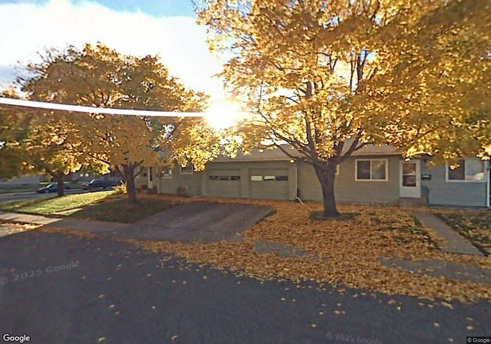
1804-1808 15th St W Billings, MT 59102
North Central Billings NeighborhoodEstimated Value: $262,000 - $484,000
8
Beds
4
Baths
3,480
Sq Ft
$112/Sq Ft
Est. Value
About This Home
This home is located at 1804-1808 15th St W, Billings, MT 59102 and is currently estimated at $391,312, approximately $112 per square foot. 1804-1808 15th St W is a home located in Yellowstone County with nearby schools including Rose Park School, Lewis & Clark Junior High School, and Billings Senior High School.
Ownership History
Date
Name
Owned For
Owner Type
Purchase Details
Closed on
Oct 18, 2022
Sold by
Kj Larson Investments Llc
Bought by
Zomi Inc
Current Estimated Value
Home Financials for this Owner
Home Financials are based on the most recent Mortgage that was taken out on this home.
Original Mortgage
$388,412
Outstanding Balance
$11,739
Interest Rate
5.89%
Mortgage Type
New Conventional
Estimated Equity
$379,573
Purchase Details
Closed on
Sep 21, 2021
Sold by
Mic-Lyn Lp
Bought by
Kj Larson Investments Llc
Purchase Details
Closed on
Jun 5, 2009
Sold by
Hanel Thomas W and Hanel Robin E
Bought by
Storage Condos Llc
Create a Home Valuation Report for This Property
The Home Valuation Report is an in-depth analysis detailing your home's value as well as a comparison with similar homes in the area
Home Values in the Area
Average Home Value in this Area
Purchase History
| Date | Buyer | Sale Price | Title Company |
|---|---|---|---|
| Zomi Inc | -- | Stewart Title | |
| Kj Larson Investments Llc | -- | Stewart Title | |
| Storage Condos Llc | -- | None Available |
Source: Public Records
Mortgage History
| Date | Status | Borrower | Loan Amount |
|---|---|---|---|
| Open | Zomi Inc | $388,412 |
Source: Public Records
Tax History Compared to Growth
Tax History
| Year | Tax Paid | Tax Assessment Tax Assessment Total Assessment is a certain percentage of the fair market value that is determined by local assessors to be the total taxable value of land and additions on the property. | Land | Improvement |
|---|---|---|---|---|
| 2025 | $4,055 | $421,200 | $51,572 | $369,628 |
| 2024 | $4,055 | $418,700 | $49,302 | $369,398 |
| 2023 | $4,081 | $418,700 | $49,302 | $369,398 |
| 2022 | $1,829 | $193,700 | $0 | $0 |
| 2021 | $2,157 | $193,700 | $0 | $0 |
| 2020 | $2,022 | $174,700 | $0 | $0 |
| 2019 | $1,932 | $174,700 | $0 | $0 |
| 2018 | $1,843 | $163,000 | $0 | $0 |
| 2017 | $1,509 | $163,000 | $0 | $0 |
| 2016 | $1,434 | $128,400 | $0 | $0 |
| 2015 | $1,402 | $128,400 | $0 | $0 |
| 2014 | $1,358 | $66,250 | $0 | $0 |
Source: Public Records
Map
Nearby Homes
- 1436 Parkhill Dr
- 1444 Colton Blvd
- 46 Shadow Place Unit 6B
- 56 Shadow Place
- 1240 Avenue D Unit 8
- 1240 Avenue D Unit 7
- 24 Heatherwood Ln Unit 12D
- 1229 Avenue E
- 2202 13th St W
- 1745 Parkhill Dr
- 41 Heatherwood Ln
- 1734 Mariposa Ln
- 1124 Parkhill Dr
- 1121 Parkhill Dr
- 1723 Alderson Ave
- 1400 Poly Dr Unit 4D
- 1811 Alderson Ave
- 1704 Burlington Ave
- 1034 Avenue F
- 1823 Alderson Ave