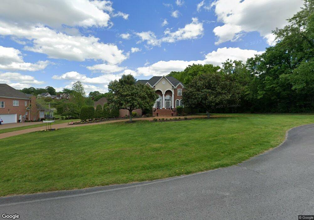
1804 Bunker Dr Franklin, TN 37064
McLemore NeighborhoodEstimated Value: $1,192,475 - $1,549,000
--
Bed
5
Baths
3,851
Sq Ft
$367/Sq Ft
Est. Value
About This Home
This home is located at 1804 Bunker Dr, Franklin, TN 37064 and is currently estimated at $1,412,369, approximately $366 per square foot. 1804 Bunker Dr is a home located in Williamson County with nearby schools including Winstead Elementary School, Legacy Middle School, and Montessori School Of Franklin.
Ownership History
Date
Name
Owned For
Owner Type
Purchase Details
Closed on
Oct 4, 2008
Sold by
Galvin Paul and Galvin Susan
Bought by
Smith Kenneth I and Smith Kathleen S
Current Estimated Value
Home Financials for this Owner
Home Financials are based on the most recent Mortgage that was taken out on this home.
Original Mortgage
$334,500
Interest Rate
5.07%
Mortgage Type
Purchase Money Mortgage
Purchase Details
Closed on
Jun 30, 2005
Sold by
Hester John L and Hester Kathleen T
Bought by
Galvin Paul and Galvin Susan
Home Financials for this Owner
Home Financials are based on the most recent Mortgage that was taken out on this home.
Original Mortgage
$185,000
Interest Rate
5.57%
Mortgage Type
Fannie Mae Freddie Mac
Purchase Details
Closed on
Jan 29, 2002
Sold by
Panther Valley Builders Llc
Bought by
Hester John L and Hester Kathleen T
Home Financials for this Owner
Home Financials are based on the most recent Mortgage that was taken out on this home.
Original Mortgage
$360,000
Interest Rate
6.5%
Create a Home Valuation Report for This Property
The Home Valuation Report is an in-depth analysis detailing your home's value as well as a comparison with similar homes in the area
Home Values in the Area
Average Home Value in this Area
Purchase History
| Date | Buyer | Sale Price | Title Company |
|---|---|---|---|
| Smith Kenneth I | $587,500 | Rudy Title | |
| Galvin Paul | $565,500 | -- | |
| Hester John L | $450,000 | Realty Title & Escrow Co Inc |
Source: Public Records
Mortgage History
| Date | Status | Borrower | Loan Amount |
|---|---|---|---|
| Previous Owner | Smith Kenneth I | $334,500 | |
| Previous Owner | Galvin Paul | $185,000 | |
| Previous Owner | Hester John L | $360,000 |
Source: Public Records
Tax History Compared to Growth
Tax History
| Year | Tax Paid | Tax Assessment Tax Assessment Total Assessment is a certain percentage of the fair market value that is determined by local assessors to be the total taxable value of land and additions on the property. | Land | Improvement |
|---|---|---|---|---|
| 2024 | $3,728 | $198,300 | $47,500 | $150,800 |
| 2023 | $3,728 | $198,300 | $47,500 | $150,800 |
| 2022 | $3,728 | $198,300 | $47,500 | $150,800 |
| 2021 | $3,728 | $198,300 | $47,500 | $150,800 |
| 2020 | $3,436 | $154,775 | $27,500 | $127,275 |
| 2019 | $3,436 | $154,775 | $27,500 | $127,275 |
| 2018 | $3,328 | $154,775 | $27,500 | $127,275 |
| 2017 | $3,328 | $154,775 | $27,500 | $127,275 |
| 2016 | $3,328 | $154,775 | $27,500 | $127,275 |
| 2015 | -- | $139,450 | $25,000 | $114,450 |
| 2014 | -- | $139,450 | $25,000 | $114,450 |
Source: Public Records
Map
Nearby Homes
- 1515 Keystone Dr
- 1401 Dodson Ct
- 1450 Mayberry Ln
- 2000 Landry Place
- Williamsburg Plan at Thomas Downs
- Harland Plan at Thomas Downs
- Adriana Plan at Thomas Downs
- Kendrick Plan at Thomas Downs
- 2025 Landry Place
- 4268 Columbia Pike
- 1358 Hunter Rd
- 1446 Kittrell Rd
- 2197 Maytown Cir
- 1804 Gunnerson Ln
- 2189 Maytown Cir
- 2154 Maytown Cir
- 2265 Maytown Cir
- 2273 Maytown Cir
- 3112 Hazelton Dr
- 3210 Natoma Cir
- 1800 Bunker Dr
- 1717 Masters Dr
- 1801 Bunker Dr
- 1805 Bunker Dr
- 1719 Masters Dr
- 1714 Masters Dr
- 1712 Masters Dr
- 1601 Ridley Ct
- 1716 Masters Dr
- 1605 Ridley Ct
- 1723 Masters Dr
- 1485 Ridley Dr
- 1791 Masters Dr
- 1479 Ridley Dr
- 1475 Ridley Dr
- 1789 Masters Dr
- 1600 Ridley Ct
- 1724 Masters Dr
- 1727 Masters Dr
- 1471 Ridley Dr