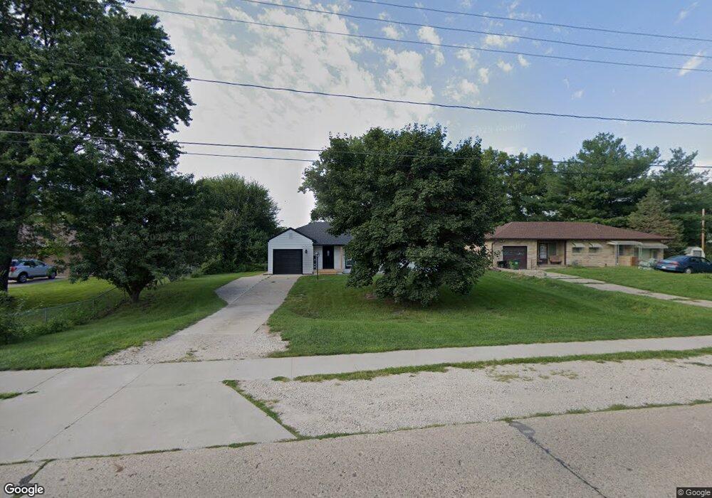
1804 State St Granger, IA 50109
Estimated Value: $146,000 - $229,000
2
Beds
1
Bath
906
Sq Ft
$197/Sq Ft
Est. Value
About This Home
This home is located at 1804 State St, Granger, IA 50109 and is currently estimated at $178,510, approximately $197 per square foot. 1804 State St is a home located in Dallas County with nearby schools including Woodward-Granger Elementary School and Woodward-Granger Middle School.
Ownership History
Date
Name
Owned For
Owner Type
Purchase Details
Closed on
Dec 29, 2021
Sold by
Titus Properties Llc
Bought by
Armstrong Patrick B
Current Estimated Value
Home Financials for this Owner
Home Financials are based on the most recent Mortgage that was taken out on this home.
Original Mortgage
$108,000
Outstanding Balance
$99,276
Interest Rate
3.22%
Mortgage Type
New Conventional
Estimated Equity
$79,234
Purchase Details
Closed on
Apr 16, 2020
Sold by
Titus Karen
Bought by
Titus Properties Llc
Purchase Details
Closed on
Jan 19, 2014
Sold by
Titus Grant Eugene
Bought by
Titus Grant Eugene and Titus David Scott
Create a Home Valuation Report for This Property
The Home Valuation Report is an in-depth analysis detailing your home's value as well as a comparison with similar homes in the area
Home Values in the Area
Average Home Value in this Area
Purchase History
| Date | Buyer | Sale Price | Title Company |
|---|---|---|---|
| Armstrong Patrick B | $120,000 | None Listed On Document | |
| Titus Properties Llc | -- | None Available | |
| Titus Grant Eugene | -- | None Available |
Source: Public Records
Mortgage History
| Date | Status | Borrower | Loan Amount |
|---|---|---|---|
| Open | Armstrong Patrick B | $108,000 | |
| Closed | Armstrong Patrick B | $108,000 |
Source: Public Records
Tax History Compared to Growth
Tax History
| Year | Tax Paid | Tax Assessment Tax Assessment Total Assessment is a certain percentage of the fair market value that is determined by local assessors to be the total taxable value of land and additions on the property. | Land | Improvement |
|---|---|---|---|---|
| 2024 | $2,484 | $159,460 | $36,450 | $123,010 |
| 2023 | $2,484 | $130,710 | $36,450 | $94,260 |
| 2022 | $2,726 | $118,970 | $36,450 | $82,520 |
| 2021 | $2,726 | $133,440 | $36,450 | $96,990 |
| 2020 | $2,618 | $122,050 | $36,450 | $85,600 |
| 2019 | $2,616 | $122,050 | $36,450 | $85,600 |
| 2018 | $2,616 | $114,260 | $32,550 | $81,710 |
| 2017 | $2,618 | $114,260 | $32,550 | $81,710 |
| 2016 | $2,482 | $108,540 | $32,550 | $75,990 |
| 2015 | $2,220 | $100,260 | $0 | $0 |
| 2014 | $2,180 | $100,260 | $0 | $0 |
Source: Public Records
Map
Nearby Homes
- 1803 Walnut St
- 1806 Main St
- 2206 White Oak Ln
- 2004 White Oak Ln
- 2103 White Oak Ln
- Hoover C Plan at Oxley Creek West
- Hoover B Plan at Oxley Creek West
- Dogwood B Plan at Oxley Creek West
- Harrison IV Plan at Oxley Creek West
- Grant Plan at Oxley Creek West
- Fillmore Plan at Oxley Creek West
- Spencer I Plan at Oxley Creek West
- Eisenhower Plan at Oxley Creek West
- 2208 White Oak Ln
- 2100 White Oak Ln
- Coolidge Plan at Ironwood Estates
- Hoover Plan at Ironwood Estates
- Grant Plan at Ironwood Estates
- Eisenhower Plan at Ironwood Estates
- Bradley Plan at Ironwood Estates
- 1802 State St Unit B
- 1802 State St
- 1802 State St
- 1806 State St
- 1802 State St Unit B
- 1802 State St
- 1802 State St Unit A & B
- 1802 State St Unit A
- 2003 Maple St
- 2004 West St
- 1910 West St
- 1900 State St
- 0 Maple Parcel 004
- 1800 State St
- 1807 State St
- 2004 Maple St
- 2005 Maple St
- 1908 West St
- 2006 West St
- 2003 West St