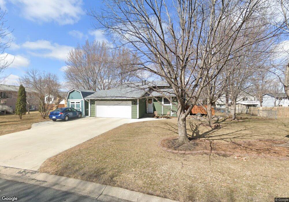
1805 Ruby Cir Shakopee, MN 55379
Estimated Value: $357,000 - $390,000
3
Beds
2
Baths
908
Sq Ft
$410/Sq Ft
Est. Value
About This Home
This home is located at 1805 Ruby Cir, Shakopee, MN 55379 and is currently estimated at $372,189, approximately $409 per square foot. 1805 Ruby Cir is a home located in Scott County with nearby schools including Sun Path Elementary School, Shakopee West Middle School, and Shakopee Senior High School.
Ownership History
Date
Name
Owned For
Owner Type
Purchase Details
Closed on
Jul 7, 2017
Sold by
Holt Steven W and Holt Sera M
Bought by
King Chad and King Brandi
Current Estimated Value
Home Financials for this Owner
Home Financials are based on the most recent Mortgage that was taken out on this home.
Original Mortgage
$260,482
Outstanding Balance
$216,476
Interest Rate
3.9%
Mortgage Type
VA
Estimated Equity
$155,713
Purchase Details
Closed on
Apr 22, 2005
Sold by
Quast Derold C
Bought by
Holt Sera M and Holt Steven W
Create a Home Valuation Report for This Property
The Home Valuation Report is an in-depth analysis detailing your home's value as well as a comparison with similar homes in the area
Home Values in the Area
Average Home Value in this Area
Purchase History
| Date | Buyer | Sale Price | Title Company |
|---|---|---|---|
| King Chad | $255,000 | Edina Rwalty Title Inc | |
| Holt Sera M | $237,000 | -- |
Source: Public Records
Mortgage History
| Date | Status | Borrower | Loan Amount |
|---|---|---|---|
| Open | King Chad | $260,482 |
Source: Public Records
Tax History
| Year | Tax Paid | Tax Assessment Tax Assessment Total Assessment is a certain percentage of the fair market value that is determined by local assessors to be the total taxable value of land and additions on the property. | Land | Improvement |
|---|---|---|---|---|
| 2025 | $3,330 | $328,900 | $168,400 | $160,500 |
| 2024 | $3,418 | $329,700 | $168,400 | $161,300 |
| 2023 | $3,630 | $325,700 | $165,100 | $160,600 |
| 2022 | $3,370 | $339,200 | $165,100 | $174,100 |
| 2021 | $2,912 | $275,100 | $130,500 | $144,600 |
| 2020 | $3,028 | $262,500 | $117,000 | $145,500 |
| 2019 | $2,850 | $242,600 | $98,100 | $144,500 |
| 2018 | $2,780 | $0 | $0 | $0 |
| 2016 | $2,734 | $0 | $0 | $0 |
| 2014 | -- | $0 | $0 | $0 |
Source: Public Records
Map
Nearby Homes
- 1928 Vierling Dr E
- 1944 Davis Ct
- 2027 Brittany Ct
- 2039 Brittany Ct
- 1076 Sibley St S
- 951 Swift St S
- 1819 Mockingbird Ave
- 2574 Vierling Dr E
- 1820 Mockingbird Ave
- 1596 Chartreux Ave
- 2066 Mockingbird Ave
- 2375 Tyrone Dr
- 2423 Tyrone Dr
- 2447 Tyrone Dr
- 1646 Chadum Ln
- 2006 Tyrone Dr
- 2795 Downing Ave
- Lewis Plan at Summerland Place - Landmark Collection
- Vanderbilt Plan at Summerland Place - Landmark Collection
- Sinclair Plan at Summerland Place - Landmark Collection
Your Personal Tour Guide
Ask me questions while you tour the home.