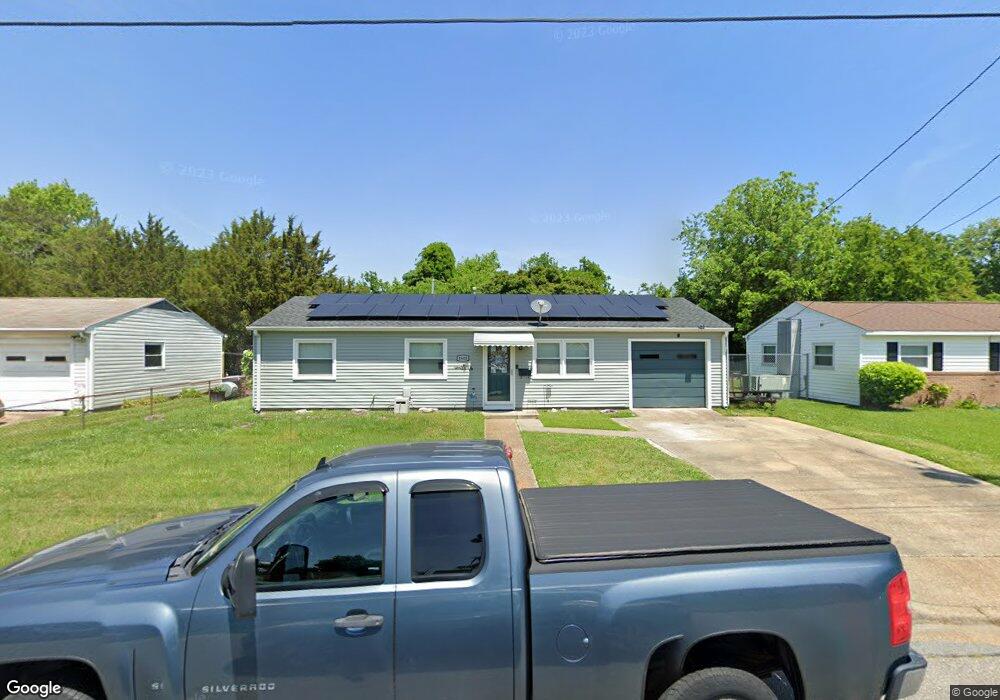
1805 Womack Dr Hampton, VA 23663
Buckroe Beach NeighborhoodEstimated Value: $209,000 - $228,000
3
Beds
1
Bath
912
Sq Ft
$241/Sq Ft
Est. Value
About This Home
This home is located at 1805 Womack Dr, Hampton, VA 23663 and is currently estimated at $219,544, approximately $240 per square foot. 1805 Womack Dr is a home located in Hampton City with nearby schools including Capt. John Smith Elementary School, Benjamin Syms Middle School, and Kecoughtan High School.
Ownership History
Date
Name
Owned For
Owner Type
Purchase Details
Closed on
Oct 13, 2010
Sold by
Powell Roy I
Bought by
Jackson David S
Current Estimated Value
Home Financials for this Owner
Home Financials are based on the most recent Mortgage that was taken out on this home.
Original Mortgage
$120,400
Outstanding Balance
$79,532
Interest Rate
4.37%
Mortgage Type
VA
Estimated Equity
$140,012
Purchase Details
Closed on
Sep 9, 2003
Sold by
Prof'L Foreclosure Corp O
Bought by
Powell Roy
Create a Home Valuation Report for This Property
The Home Valuation Report is an in-depth analysis detailing your home's value as well as a comparison with similar homes in the area
Home Values in the Area
Average Home Value in this Area
Purchase History
| Date | Buyer | Sale Price | Title Company |
|---|---|---|---|
| Jackson David S | $120,400 | -- | |
| Powell Roy | $61,000 | -- |
Source: Public Records
Mortgage History
| Date | Status | Borrower | Loan Amount |
|---|---|---|---|
| Open | Jackson David S | $120,400 |
Source: Public Records
Tax History
| Year | Tax Paid | Tax Assessment Tax Assessment Total Assessment is a certain percentage of the fair market value that is determined by local assessors to be the total taxable value of land and additions on the property. | Land | Improvement |
|---|---|---|---|---|
| 2025 | $2,154 | $184,800 | $55,000 | $129,800 |
| 2024 | $1,904 | $165,600 | $55,000 | $110,600 |
| 2023 | $1,689 | $145,600 | $55,000 | $90,600 |
| 2022 | $1,538 | $130,300 | $50,000 | $80,300 |
| 2021 | $1,530 | $112,900 | $42,000 | $70,900 |
| 2020 | $1,332 | $107,400 | $38,300 | $69,100 |
| 2019 | $1,293 | $104,300 | $38,300 | $66,000 |
| 2018 | $1,408 | $106,000 | $38,300 | $67,700 |
| 2017 | $1,408 | $0 | $0 | $0 |
| 2016 | $1,408 | $106,000 | $0 | $0 |
| 2015 | $1,408 | $0 | $0 | $0 |
| 2014 | $1,452 | $106,000 | $38,300 | $67,700 |
Source: Public Records
Map
Nearby Homes
- 385 Woodland Rd
- 1912 Beall Dr
- 1358 Coral Place
- 417 Woodland Rd
- 1814 Somerville Dr
- 54 George Ct
- 1845 Kensington Dr
- 2000 Beall Dr
- 2000 Egger Cir
- 1923 Rawood Dr
- 2007 Egger Cir
- 706 Grimes Rd
- 2013 Egger Cir
- 304 Woodland Rd
- 2020 Seward Dr
- 1909 Long Green Ln
- 1915 Long Green Ln
- 1530 Morgan Dr
- 76 Glascow Way
- 350 Wrexham Ct
Your Personal Tour Guide
Ask me questions while you tour the home.