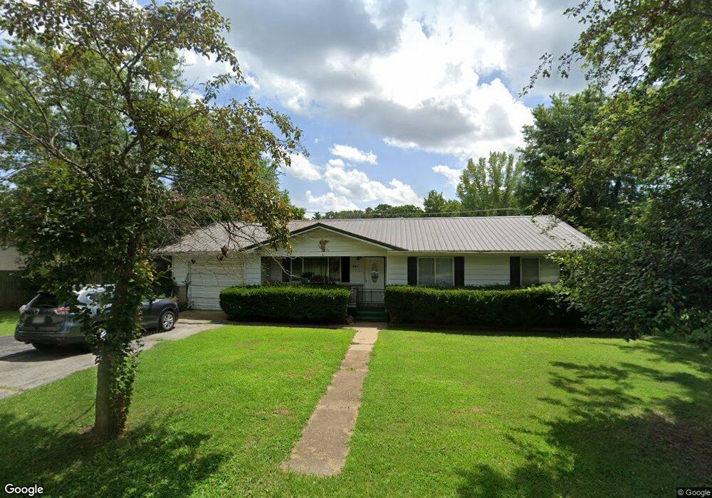
1806 Cole St West Plains, MO 65775
Estimated Value: $102,209 - $188,000
--
Bed
--
Bath
1,060
Sq Ft
$132/Sq Ft
Est. Value
About This Home
This home is located at 1806 Cole St, West Plains, MO 65775 and is currently estimated at $140,052, approximately $132 per square foot. 1806 Cole St is a home with nearby schools including West Plains Senior High School and Faith Assembly Christian School.
Ownership History
Date
Name
Owned For
Owner Type
Purchase Details
Closed on
Dec 4, 2013
Sold by
Hunt Edward E and Hunt Sandra L
Bought by
Gould Rentals Llc
Current Estimated Value
Home Financials for this Owner
Home Financials are based on the most recent Mortgage that was taken out on this home.
Original Mortgage
$42,800
Interest Rate
4.17%
Mortgage Type
Future Advance Clause Open End Mortgage
Purchase Details
Closed on
Dec 24, 2007
Sold by
Federal Home Loan Mortgage Corporation
Bought by
Hunt Edward and Hunt Sandra
Home Financials for this Owner
Home Financials are based on the most recent Mortgage that was taken out on this home.
Original Mortgage
$92,000
Interest Rate
6.11%
Mortgage Type
Future Advance Clause Open End Mortgage
Create a Home Valuation Report for This Property
The Home Valuation Report is an in-depth analysis detailing your home's value as well as a comparison with similar homes in the area
Home Values in the Area
Average Home Value in this Area
Purchase History
| Date | Buyer | Sale Price | Title Company |
|---|---|---|---|
| Gould Rentals Llc | -- | None Available | |
| Hunt Edward | -- | None Available |
Source: Public Records
Mortgage History
| Date | Status | Borrower | Loan Amount |
|---|---|---|---|
| Closed | Gould Rentals Llc | $42,800 | |
| Previous Owner | Hunt Edward | $92,000 |
Source: Public Records
Tax History Compared to Growth
Tax History
| Year | Tax Paid | Tax Assessment Tax Assessment Total Assessment is a certain percentage of the fair market value that is determined by local assessors to be the total taxable value of land and additions on the property. | Land | Improvement |
|---|---|---|---|---|
| 2025 | $650 | $15,690 | $1,830 | $13,860 |
| 2024 | $646 | $14,010 | -- | -- |
| 2023 | $646 | $14,010 | $0 | $0 |
| 2022 | $611 | $13,260 | $0 | $0 |
| 2021 | $566 | $13,260 | $0 | $0 |
| 2020 | $566 | $12,010 | $0 | $0 |
| 2019 | $588 | $12,010 | $0 | $0 |
| 2018 | $570 | $11,650 | $0 | $0 |
| 2017 | $568 | $11,650 | $0 | $0 |
| 2015 | -- | $11,320 | $0 | $0 |
| 2014 | -- | $11,320 | $0 | $0 |
| 2013 | -- | $11,320 | $0 | $0 |
Source: Public Records
Map
Nearby Homes
- 1805 Cole St
- 1931 Kay Dr
- 1933 Lynn Dr
- 1816 Lasswell St
- 1908 Timber Ln
- 31 & 33 Burgoyne St
- 000 Lot 1 Block 13 Morrison Sub
- 2204 Gleghorn St
- 1611 9th St
- 000 Joann Dr
- 1402 Stoney Dr
- 1945 Debra Dr
- 2111 Jackie Dr
- 1807 Lexington Ave
- 000 Gleghorn St
- 000 Missouri Avenue (Option 2)
- 1938 Debra Dr
- 2204 Lynn Dr
- 000 Missouri Avenue & Ransom Rd
- 1158 Chateau Dr