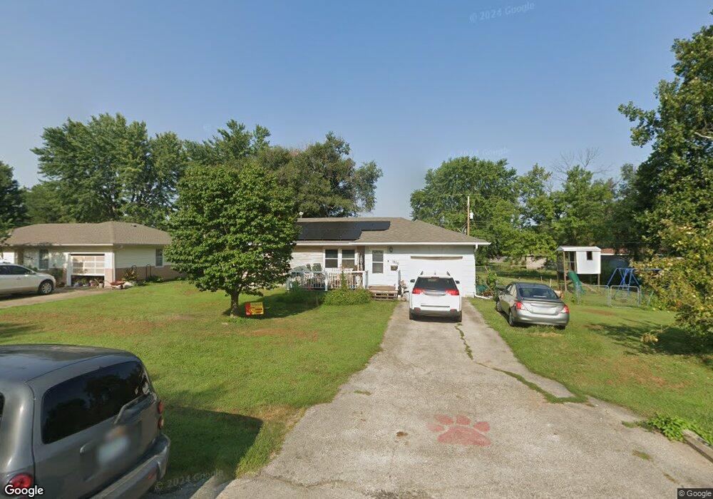
1806 Richards Rd Fort Scott, KS 66701
Estimated Value: $148,688 - $163,000
4
Beds
2
Baths
1,238
Sq Ft
$124/Sq Ft
Est. Value
About This Home
This home is located at 1806 Richards Rd, Fort Scott, KS 66701 and is currently estimated at $153,172, approximately $123 per square foot. 1806 Richards Rd is a home located in Bourbon County with nearby schools including Winfield Scott Elementary School, Eugene Ware Elementary School, and Fort Scott Middle School.
Ownership History
Date
Name
Owned For
Owner Type
Purchase Details
Closed on
Jul 1, 2007
Bought by
Popp Danette and Popp Eric
Current Estimated Value
Home Financials for this Owner
Home Financials are based on the most recent Mortgage that was taken out on this home.
Original Mortgage
$104,500
Outstanding Balance
$75,784
Interest Rate
6.67%
Mortgage Type
New Conventional
Estimated Equity
$77,388
Create a Home Valuation Report for This Property
The Home Valuation Report is an in-depth analysis detailing your home's value as well as a comparison with similar homes in the area
Home Values in the Area
Average Home Value in this Area
Purchase History
| Date | Buyer | Sale Price | Title Company |
|---|---|---|---|
| Popp Danette | $111,500 | -- |
Source: Public Records
Mortgage History
| Date | Status | Borrower | Loan Amount |
|---|---|---|---|
| Open | Popp Danette | $104,500 |
Source: Public Records
Tax History Compared to Growth
Tax History
| Year | Tax Paid | Tax Assessment Tax Assessment Total Assessment is a certain percentage of the fair market value that is determined by local assessors to be the total taxable value of land and additions on the property. | Land | Improvement |
|---|---|---|---|---|
| 2025 | -- | $14,527 | $481 | $14,046 |
| 2024 | $2,457 | $13,704 | $493 | $13,211 |
| 2023 | $2,312 | $12,573 | $481 | $12,092 |
| 2022 | $2,240 | $12,207 | $1,027 | $11,180 |
| 2021 | $2,254 | $11,557 | $1,013 | $10,544 |
| 2020 | $2,212 | $11,270 | $1,013 | $10,257 |
| 2019 | $2,261 | $11,412 | $1,013 | $10,399 |
| 2018 | $2,210 | $11,189 | $1,052 | $10,137 |
| 2017 | $2,223 | $11,189 | $1,052 | $10,137 |
| 2016 | -- | $11,572 | $1,005 | $10,567 |
| 2015 | -- | $11,572 | $1,005 | $10,567 |
| 2014 | -- | $11,808 | $1,005 | $10,803 |
Source: Public Records
Map
Nearby Homes
- 1809 Richards Rd
- 1812 S Margrave St
- 1702 Tomahawk Ln
- 804 E 22nd St
- 1315 S Little St
- 841 N Highway 69
- 2439 S Margrave St
- 1301 S Ransom St
- 2412 S Margrave - 7 Acres St
- 0000 S Margrave - 18 Acres St
- 2412 S Margrave - 10 Acres St
- 225 W 15th St
- 1238 S Judson St
- 324 W 23rd St
- 0 S Madison St Unit HMS2558732
- 402 Lees Circle Dr
- 1387 Marblecrest Dr
- 734 S Clark St
- 2278 Jayhawk Rd
- 2280 Jayhawk Rd
- 1808 Richards Rd
- 1807 S Margrave St
- 1802 Richards Rd
- 0000 Richards Rd
- 1810 Richards Rd
- 1801 S Margrave St
- 1805 Richards Rd
- 1807 Richards Rd
- 1801 Richards Rd
- 1811 S Margrave St
- 1812 Richards Rd
- 1811 Richards Rd
- 1814 Richards Rd
- 1806 Tiernan Rd
- 1804 S Margrave St
- 715 E Huntington Blvd
- 1808 Tiernan Rd
- 1810 Tiernan Rd
- 1802 S Margrave St
- 1802 Tiernan Rd