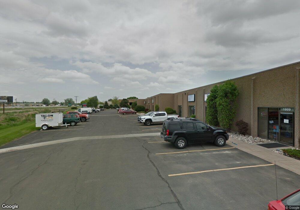
1807 E Mulberry St Fort Collins, CO 80524
Estimated Value: $5,466,244
Studio
--
Bath
87,155
Sq Ft
$63/Sq Ft
Est. Value
About This Home
This home is located at 1807 E Mulberry St, Fort Collins, CO 80524 and is currently priced at $5,466,244, approximately $62 per square foot. 1807 E Mulberry St is a home located in Larimer County with nearby schools including Laurel Elementary School, Lincoln Middle School, and Fort Collins High School.
Ownership History
Date
Name
Owned For
Owner Type
Purchase Details
Closed on
Feb 20, 2003
Sold by
Palmer Poudre Center Llc
Bought by
Dd&B Investment Group Llc
Current Estimated Value
Purchase Details
Closed on
Jul 27, 1997
Sold by
Palmer Spiro
Bought by
Palmer Poudre Center Llc
Home Financials for this Owner
Home Financials are based on the most recent Mortgage that was taken out on this home.
Original Mortgage
$650,000
Interest Rate
7.56%
Create a Home Valuation Report for This Property
The Home Valuation Report is an in-depth analysis detailing your home's value as well as a comparison with similar homes in the area
Purchase History
| Date | Buyer | Sale Price | Title Company |
|---|---|---|---|
| Dd&B Investment Group Llc | $2,050,000 | Land Title Guarantee Company | |
| Palmer Poudre Center Llc | $1,130,000 | -- |
Source: Public Records
Mortgage History
| Date | Status | Borrower | Loan Amount |
|---|---|---|---|
| Previous Owner | Palmer Poudre Center Llc | $650,000 |
Source: Public Records
Tax History
| Year | Tax Paid | Tax Assessment Tax Assessment Total Assessment is a certain percentage of the fair market value that is determined by local assessors to be the total taxable value of land and additions on the property. | Land | Improvement |
|---|---|---|---|---|
| 2025 | $92,417 | $1,118,043 | $226,071 | $891,972 |
| 2024 | $87,990 | $959,146 | $200,210 | $758,936 |
| 2022 | $59,715 | $638,000 | $173,420 | $464,580 |
| 2021 | $59,715 | $638,000 | $173,420 | $464,580 |
| 2020 | $57,022 | $604,012 | $101,094 | $502,918 |
| 2019 | $57,283 | $604,012 | $101,094 | $502,918 |
| 2018 | $50,391 | $548,100 | $101,094 | $447,006 |
| 2017 | $2,150 | $548,100 | $101,094 | $447,006 |
| 2016 | $343 | $522,000 | $101,094 | $420,906 |
Source: Public Records
Map
Nearby Homes
- 0 N Link Ln
- 616 Eric St
- 1316 E Pitkin St
- 1956 Mackinac St
- 2121 Mackinac St
- 409 Stout St
- 2115 Bock St
- 534 S Summit View Dr
- 838 E Myrtle St
- 1684 Riverside Ave Unit A7
- 1684 Riverside Ave Unit A8
- 2014 Winamac Dr
- 1304 S Lemay Ave
- 219 N Timberline Rd
- 2145 Lambic St
- 551 Walhalla Ct
- 809 E Myrtle St
- 800 Colorado St
- 805 Colorado St
- 216 Zeppelin Way
- 1807 E Mulberry St Unit 1811
- 1829 E Mulberry St
- 1811 E Mulberry St
- 1817 E Mulberry St
- 1811 E Mulberry St Unit 1811
- 1831 E Mulberry St
- 1719 E Mulberry St Unit 7 & 9
- 1719 E Mulberry St Unit 7
- 1719 E Mulberry St
- 1719 E Mulberry St Unit 7 & 8
- 1701 E Mulberry St
- 1617 E Mulberry St
- 1901 E Lincoln Ave
- 345 Airpark Dr
- 411 S Court St
- 411 S Court St Unit 40
- 411 S Court St Unit 1
- 1817 E Lincoln Ave
- 1829 E Lincoln Ave
- 2021 E Lincoln Ave
Your Personal Tour Guide
Ask me questions while you tour the home.