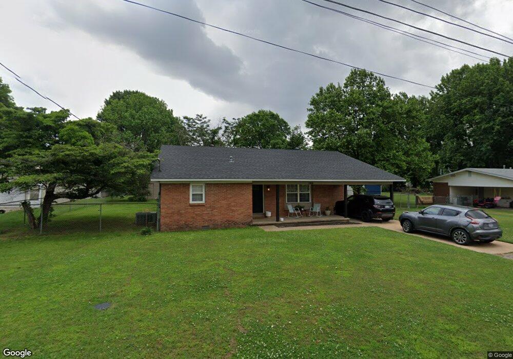
1808 Carol Dr Kennett, MO 63857
Estimated Value: $131,000 - $160,000
Studio
--
Bath
2,191
Sq Ft
$68/Sq Ft
Est. Value
About This Home
This home is located at 1808 Carol Dr, Kennett, MO 63857 and is currently estimated at $148,333, approximately $67 per square foot. 1808 Carol Dr is a home with nearby schools including Early Childhood Center, H. Byron Masterson Elementary School, and South Elementary School.
Ownership History
Date
Name
Owned For
Owner Type
Purchase Details
Closed on
Jan 27, 2023
Sold by
Davis Bobby Dale and Davis Tina
Bought by
Mglg Llc
Current Estimated Value
Create a Home Valuation Report for This Property
The Home Valuation Report is an in-depth analysis detailing your home's value as well as a comparison with similar homes in the area
Home Values in the Area
Average Home Value in this Area
Purchase History
| Date | Buyer | Sale Price | Title Company |
|---|---|---|---|
| Mglg Llc | -- | -- |
Source: Public Records
Tax History
| Year | Tax Paid | Tax Assessment Tax Assessment Total Assessment is a certain percentage of the fair market value that is determined by local assessors to be the total taxable value of land and additions on the property. | Land | Improvement |
|---|---|---|---|---|
| 2025 | $797 | $13,780 | $0 | $0 |
| 2024 | $8 | $13,700 | $0 | $0 |
| 2023 | $791 | $13,700 | $0 | $0 |
| 2022 | $772 | $13,430 | $0 | $0 |
| 2021 | $769 | $13,430 | $0 | $0 |
| 2020 | $769 | $11,740 | $0 | $0 |
| 2019 | $768 | $11,740 | $0 | $0 |
| 2018 | $751 | $11,740 | $0 | $0 |
| 2017 | $695 | $11,740 | $0 | $0 |
| 2016 | -- | $1,620 | $0 | $0 |
| 2015 | -- | $11,740 | $0 | $0 |
| 2014 | -- | $11,740 | $0 | $0 |
| 2013 | -- | $11,740 | $0 | $0 |
Source: Public Records
Map
Nearby Homes
- 1918 Lynndale St
- 1804 Preston St
- 2207 Carter St
- 1900 Treasure St
- 1929 Independence Cir
- 1814 Allison St
- 2220 Winfred St
- 2016 Harris St
- 0 County 442 Rd Unit MAR25014333
- 1604 Wimberly St
- 2810 Neal St
- 0 Juniper Cove
- 503 Sagebrush Ln
- 500 Sagebrush Ln
- 501 Sagebrush Ln
- 0 Viburnum Dr Unit MAR24038000
- 3503 Fairfax Rd
- 15 Laurelwood Dr
- 13 Laurelwood Dr
- 12 Laurelwood Dr
- 1900 Carol Dr
- 1804 Carol Dr
- 1807 Carol Dr
- 1901 Carol Dr
- 1805 Carol Dr
- 1807 Lynndale St
- 1904 Carol Dr
- 1901 Lynndale St
- 1800 Carol Dr
- 1805 Lynndale St
- 1905 Carol Dr
- 1801 Carol Dr
- 1905 Lynndale St
- 1801 Lynndale St
- 1908 Carol Dr
- 1909 Carol Dr
- 1808 Lynndale St
- 1900 Lynndale St
- 1804 Lynndale St
- 1804 Wilburn Dr
Your Personal Tour Guide
Ask me questions while you tour the home.