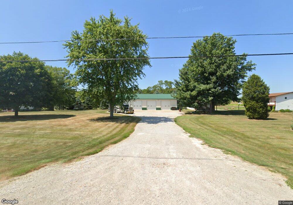
1808 State Route 60 Ashland, OH 44805
Estimated Value: $226,000 - $383,000
3
Beds
2
Baths
1,352
Sq Ft
$217/Sq Ft
Est. Value
About This Home
This home is located at 1808 State Route 60, Ashland, OH 44805 and is currently estimated at $293,749, approximately $217 per square foot. 1808 State Route 60 is a home located in Ashland County with nearby schools including Hillsdale Elementary School, Hillsdale Middle School, and Hillsdale High School.
Ownership History
Date
Name
Owned For
Owner Type
Purchase Details
Closed on
Oct 14, 2024
Sold by
Moffett Michael E
Bought by
Moffett Michael E and Moffett Kimberly A
Current Estimated Value
Purchase Details
Closed on
Jan 23, 2013
Sold by
Primacy Closing Corp
Bought by
Moffett Michael E
Purchase Details
Closed on
Sep 15, 2003
Bought by
Gray Brian R
Purchase Details
Closed on
Jan 1, 1990
Create a Home Valuation Report for This Property
The Home Valuation Report is an in-depth analysis detailing your home's value as well as a comparison with similar homes in the area
Home Values in the Area
Average Home Value in this Area
Purchase History
| Date | Buyer | Sale Price | Title Company |
|---|---|---|---|
| Moffett Michael E | -- | None Listed On Document | |
| Moffett Michael E | $89,000 | -- | |
| Gray Brian R | $153,000 | -- | |
| -- | -- | -- |
Source: Public Records
Tax History Compared to Growth
Tax History
| Year | Tax Paid | Tax Assessment Tax Assessment Total Assessment is a certain percentage of the fair market value that is determined by local assessors to be the total taxable value of land and additions on the property. | Land | Improvement |
|---|---|---|---|---|
| 2024 | $2,811 | $84,550 | $14,440 | $70,110 |
| 2023 | $2,811 | $84,550 | $14,440 | $70,110 |
| 2022 | $2,533 | $60,400 | $10,320 | $50,080 |
| 2021 | $2,536 | $60,400 | $10,320 | $50,080 |
| 2020 | $2,378 | $60,400 | $10,320 | $50,080 |
| 2019 | $2,235 | $55,670 | $9,940 | $45,730 |
| 2018 | $2,223 | $55,670 | $9,940 | $45,730 |
| 2017 | $1,942 | $55,670 | $9,940 | $45,730 |
| 2016 | $1,942 | $48,410 | $8,640 | $39,770 |
| 2015 | $1,918 | $48,410 | $8,640 | $39,770 |
| 2013 | $1,746 | $44,220 | $9,030 | $35,190 |
Source: Public Records
Map
Nearby Homes
- 1845 County Road 655
- 0 Twp Rd 1806 Unit 11591470
- 1653 Ohio 60
- 1653 State Route 60
- 150 E Main St
- 820 County Road 30a
- 1690 County Road 995
- 1015 Township Road 1696
- 1581 County Road 995
- 0 Ashland County Road 2175
- 0 Ashland County Road 2175
- 1457 Township Road 853
- 977 Township Road 1514 Unit C
- 1446 Township Road 805
- 1435 Township Road 853
- 14 E South St
- 1106 County Road 30a
- 0 Eagle Way
- 1331 Eastern Ave
- 1048 Township Road 2156
- 1808 Ohio 60
- 755 Township Road 1806
- 1814 State Route 60
- 1818 State Route 60
- 0 Township Road 1806 Unit 3429700
- 0 Township Road 1806 Unit 222264
- 0 Township Road 1806 Unit 215880
- 0 Township Road 1806 Unit 200750
- 0 Township Road 1806 Unit 208225
- 0 Township Road 1806 Unit 206559
- 0 Township Road 1806 Unit 99910
- 0 Township Road 1806 Unit 51493
- 1824 State Route 60
- 1834 State Route 60
- 780 Township Road 1806
- 1858 State Route 60
- 802 Township Road 1806
- 1859 State Route 60
- 767 County Road 1754
- 810 Township Road 1806