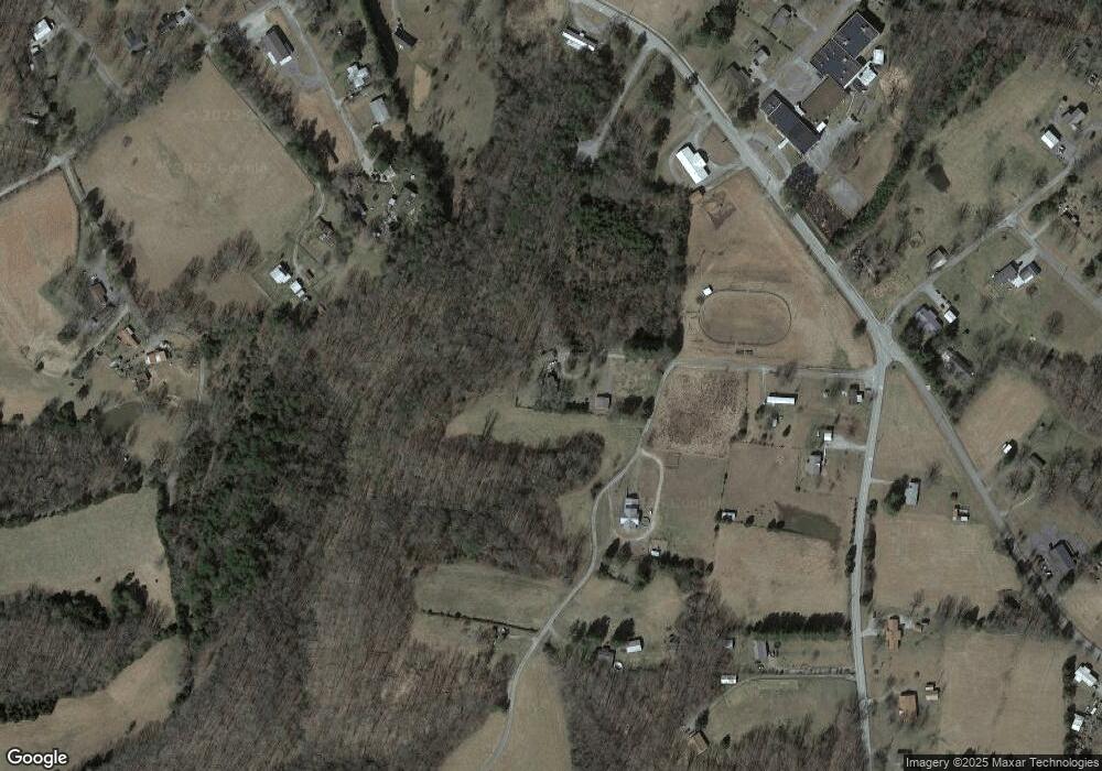
181 Bob Pigg Ln Cookeville, TN 38501
Dodson Branch NeighborhoodEstimated Value: $142,481 - $253,000
3
Beds
2
Baths
1,050
Sq Ft
$194/Sq Ft
Est. Value
About This Home
This home is located at 181 Bob Pigg Ln, Cookeville, TN 38501 and is currently estimated at $203,370, approximately $193 per square foot. 181 Bob Pigg Ln is a home located in Jackson County with nearby schools including Jackson County High School.
Ownership History
Date
Name
Owned For
Owner Type
Purchase Details
Closed on
May 29, 2009
Sold by
Ervin Lydia
Bought by
Gibson Christy A
Current Estimated Value
Home Financials for this Owner
Home Financials are based on the most recent Mortgage that was taken out on this home.
Original Mortgage
$94,897
Outstanding Balance
$59,957
Interest Rate
4.77%
Estimated Equity
$143,413
Purchase Details
Closed on
May 20, 2004
Sold by
Wesley Ragland James
Bought by
Lydia Ervin
Home Financials for this Owner
Home Financials are based on the most recent Mortgage that was taken out on this home.
Original Mortgage
$69,000
Interest Rate
5.88%
Purchase Details
Closed on
Jun 21, 2002
Sold by
Shawn Billingsley and Shawn Willie
Bought by
Gerald Gore
Purchase Details
Closed on
May 12, 2000
Sold by
Wesley Ragland James
Bought by
Ragland James W
Purchase Details
Closed on
Jun 25, 1994
Bought by
Ragland James Wesley
Purchase Details
Closed on
Sep 22, 1967
Bought by
Pigg Robert L and Pigg Peggy
Create a Home Valuation Report for This Property
The Home Valuation Report is an in-depth analysis detailing your home's value as well as a comparison with similar homes in the area
Home Values in the Area
Average Home Value in this Area
Purchase History
| Date | Buyer | Sale Price | Title Company |
|---|---|---|---|
| Gibson Christy A | $93,000 | -- | |
| Lydia Ervin | $73,000 | -- | |
| Gerald Gore | $18,000 | -- | |
| Ragland James W | -- | -- | |
| Ragland James Wesley | $44,200 | -- | |
| Pigg Robert L | -- | -- |
Source: Public Records
Mortgage History
| Date | Status | Borrower | Loan Amount |
|---|---|---|---|
| Open | Pigg Robert L | $94,897 | |
| Previous Owner | Pigg Robert L | $69,000 |
Source: Public Records
Tax History Compared to Growth
Tax History
| Year | Tax Paid | Tax Assessment Tax Assessment Total Assessment is a certain percentage of the fair market value that is determined by local assessors to be the total taxable value of land and additions on the property. | Land | Improvement |
|---|---|---|---|---|
| 2024 | $539 | $21,125 | $4,125 | $17,000 |
| 2023 | $539 | $21,125 | $4,125 | $17,000 |
| 2022 | $475 | $21,125 | $4,125 | $17,000 |
| 2021 | $475 | $21,125 | $4,125 | $17,000 |
| 2020 | $537 | $21,125 | $4,125 | $17,000 |
| 2019 | $537 | $19,250 | $3,925 | $15,325 |
| 2018 | $537 | $19,250 | $3,925 | $15,325 |
| 2017 | $537 | $19,250 | $3,925 | $15,325 |
| 2016 | $538 | $19,250 | $3,925 | $15,325 |
| 2015 | $549 | $19,250 | $3,925 | $15,325 |
| 2014 | $589 | $20,650 | $3,925 | $16,725 |
Source: Public Records
Map
Nearby Homes
- 16308 Dodson Branch Hwy
- 0 Dodson Branch Rd Unit RTC2965059
- 135 Young Mill Ln
- 00 Hardscrabble Ln
- 15826 Dodson Branch Hwy
- 0 Hardscrabble Ln
- 388 Albert Swift Ln
- 15112 Dodson Branch Hwy
- 132 Judd Ln
- 343 Mabry School Rd
- 259 Freewill Ridge Rd Unit 291
- 7630 Walking Horse Ln
- 5.78ac West Ln
- 0 West Ln
- 0 Campbell Hill Rd
- 10.28ac Campbell Hill Rd
- 150 Bennett Ln
- 16208 Dodson Branch Hwy
- 179 Jerry White Ln
- 165 Langford Hill Rd
- 165 Langford Hill Rd
- 0 Smith Ln
- 113 Langford Hill Rd
- 139 Bennett Ln
- 0 Dodson Branch Rd Unit 1661866
- 0 Dodson Branch Rd Unit 209877
- 0 Dodson Branch Rd Unit 204554
- 0 Dodson Branch Rd Unit 160645
- 0 Dodson Branch Rd Unit 126594
- 0 Dodson Branch Rd Unit 1059579
- 0 Dodson Branch Rd Unit 1101694
- 0 Dodson Branch Rd Unit 2269214
- 0 Dodson Branch Rd Unit 2102798
- 0 Dodson Branch Rd Unit 188723
- 0 Dodson Branch Rd Unit 1980545
- 16146 Dodson Branch Hwy
