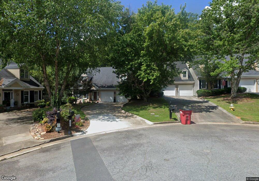
181 Brookstone Ct Macon, GA 31210
Estimated Value: $218,000 - $225,000
2
Beds
2
Baths
1,647
Sq Ft
$134/Sq Ft
Est. Value
About This Home
This home is located at 181 Brookstone Ct, Macon, GA 31210 and is currently estimated at $220,392, approximately $133 per square foot. 181 Brookstone Ct is a home located in Bibb County with nearby schools including Lane Elementary School, Howard Middle School, and Howard High School.
Ownership History
Date
Name
Owned For
Owner Type
Purchase Details
Closed on
Oct 28, 2009
Sold by
Jenkins John Barry and Jenkins Nelle Galyon
Bought by
Whidby Regina M
Current Estimated Value
Home Financials for this Owner
Home Financials are based on the most recent Mortgage that was taken out on this home.
Original Mortgage
$100,000
Outstanding Balance
$64,899
Interest Rate
5.04%
Mortgage Type
New Conventional
Estimated Equity
$155,493
Create a Home Valuation Report for This Property
The Home Valuation Report is an in-depth analysis detailing your home's value as well as a comparison with similar homes in the area
Purchase History
| Date | Buyer | Sale Price | Title Company |
|---|---|---|---|
| Whidby Regina M | $147,000 | None Available |
Source: Public Records
Mortgage History
| Date | Status | Borrower | Loan Amount |
|---|---|---|---|
| Open | Whidby Regina M | $100,000 |
Source: Public Records
Tax History
| Year | Tax Paid | Tax Assessment Tax Assessment Total Assessment is a certain percentage of the fair market value that is determined by local assessors to be the total taxable value of land and additions on the property. | Land | Improvement |
|---|---|---|---|---|
| 2025 | $1,498 | $73,948 | $16,000 | $57,948 |
| 2024 | $1,554 | $73,948 | $16,000 | $57,948 |
| 2023 | $1,096 | $73,948 | $16,000 | $57,948 |
| 2022 | $2,042 | $70,810 | $12,100 | $58,710 |
| 2021 | $1,661 | $55,480 | $9,350 | $46,130 |
| 2020 | $1,697 | $55,480 | $9,350 | $46,130 |
| 2019 | $1,345 | $46,157 | $8,415 | $37,742 |
| 2018 | $2,947 | $46,157 | $8,415 | $37,742 |
| 2017 | $1,572 | $41,964 | $8,415 | $33,549 |
| 2016 | $1,452 | $41,964 | $8,415 | $33,549 |
| 2015 | $2,465 | $50,334 | $11,000 | $39,334 |
| 2014 | $2,835 | $50,334 | $11,000 | $39,334 |
Source: Public Records
Map
Nearby Homes
- 750 Stonington Place
- 556 Commanche Place
- 673 Commanche Dr
- 859 Forest Lake Dr S
- 4620 S Stratford Oaks Dr
- 4713 Lattimore Dr
- 208 Huntington Ct
- 753 Lokchapee Dr
- 870 Glen Hill Ct
- 627 Lokchapee Ridge
- 1406 Maplewood Dr
- 1422 Forest Hill Rd
- 4811 Guerry Dr
- 231 Alexandria Dr
- 122 Lundy Ct
- 930 Hill Place
- 203 Oberon Place
- 605 Wesleyan Dr
- 4726 Cheryle Ann Dr
- 191 Brookstone Ct
- 179 Brookstone Ct
- 173 Brookstone Ct
- 190 Brookstone Ct
- 167 Brookstone Ct
- 182 Brookstone Ct
- 174 Brookstone Ct
- 108 Brookstone Ln
- 130 Brookstone Ln
- 102 Brookstone Ln
- 162 Brookstone Ct
- 787 Stonington Place
- 156 Brookstone Ct
- 144 Brookstone Ln
- 152 Brookstone Ct
- 765 Stonington Place
- 105 Brookstone Ln
- 155 Brookstone Ln
- 150 Brookstone Ct
- 109 Brookstone Ln
Your Personal Tour Guide
Ask me questions while you tour the home.