181 Clarks Lookout Rd Dillon, MT 59725
Estimated Value: $531,000 - $685,267
5
Beds
3
Baths
1,305
Sq Ft
$466/Sq Ft
Est. Value
About This Home
This home is located at 181 Clarks Lookout Rd, Dillon, MT 59725 and is currently estimated at $608,134, approximately $466 per square foot. 181 Clarks Lookout Rd is a home located in Beaverhead County with nearby schools including Parkview School, Dillon Middle School, and Beaverhead Co High School.
Ownership History
Date
Name
Owned For
Owner Type
Purchase Details
Closed on
Mar 12, 2021
Sold by
Scott Steve
Bought by
Scott Parke
Current Estimated Value
Purchase Details
Closed on
Feb 13, 2014
Sold by
Scott Parke and Harrison Danna
Bought by
Scott Parke and Scott Pam
Home Financials for this Owner
Home Financials are based on the most recent Mortgage that was taken out on this home.
Original Mortgage
$42,681
Interest Rate
4.49%
Mortgage Type
Future Advance Clause Open End Mortgage
Create a Home Valuation Report for This Property
The Home Valuation Report is an in-depth analysis detailing your home's value as well as a comparison with similar homes in the area
Home Values in the Area
Average Home Value in this Area
Purchase History
| Date | Buyer | Sale Price | Title Company |
|---|---|---|---|
| Scott Parke | -- | First American Title Dillon | |
| Scott Parke | -- | None Available |
Source: Public Records
Mortgage History
| Date | Status | Borrower | Loan Amount |
|---|---|---|---|
| Closed | Scott Parke | $42,681 |
Source: Public Records
Tax History Compared to Growth
Tax History
| Year | Tax Paid | Tax Assessment Tax Assessment Total Assessment is a certain percentage of the fair market value that is determined by local assessors to be the total taxable value of land and additions on the property. | Land | Improvement |
|---|---|---|---|---|
| 2025 | $3,259 | $668,100 | $0 | $0 |
| 2024 | $3,292 | $507,387 | $0 | $0 |
| 2023 | $3,340 | $507,387 | $0 | $0 |
| 2022 | $2,876 | $354,600 | $0 | $0 |
| 2021 | $2,844 | $354,600 | $0 | $0 |
| 2020 | $2,795 | $335,100 | $0 | $0 |
| 2019 | $2,761 | $335,100 | $0 | $0 |
| 2018 | $2,720 | $315,457 | $0 | $0 |
| 2017 | -- | $357,917 | $0 | $0 |
| 2016 | $3,052 | $343,110 | $0 | $0 |
| 2015 | -- | $343,110 | $0 | $0 |
| 2014 | -- | $218,617 | $0 | $0 |
Source: Public Records
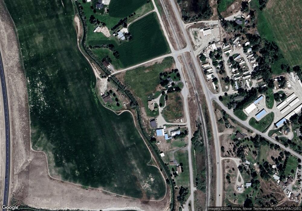
Map
Nearby Homes
- 250 Pioneer Dr
- 335 Expedition Dr
- 1275 Montana 91 Unit B
- 1325 Lovers Leap Rd
- 343 N Montana St
- 43 Tobacco Root Rd
- 9 Skihi St
- 1070 Lovers Leap Rd
- 113 Skihi St
- 804 N Rife St
- 215 W Helena St
- 209 W Helena St
- 434 Barnett Ave
- 504 -536 Barnett Ave
- 330 N Walnut St
- 230 Beaverhead Ln
- 355 Buffalo Dr
- 205 N Pacific St
- 35 E Bannack St
- 652 Kentucky Ave
- 197 Clarks Lookout Rd
- 245 Clarks Lookout Rd
- 77 Clarks Lookout Rd
- Lot 28 Pioneer Lookout Subdivision
- Lot 32 Pioneer Lookout
- Lot 53 Clark Lookout Major Subdivision
- Lot 4 Pioneer Lookout
- 1875 N Hwy 91 N
- 2050 Montana 91
- 1876 N Highway 91
- 19 Pioneer Dr
- 1876 Mt Highway 91 N
- 2100 Mt Highway 91 N
- 2050 Mt Highway 91 N
- 55 Pioneer Dr
- 1836 Mt Highway 91 N
- 375 Clarks Lookout Rd
- 375 Clarks Lookout Rd
- LOT 3 Pioneer Dr
- LOT 5 Pioneer Dr