181 Johnson Rd Sanbornton, NH 03269
Sanbornton NeighborhoodEstimated Value: $247,000 - $560,000
3
Beds
3
Baths
2,636
Sq Ft
$172/Sq Ft
Est. Value
About This Home
This home is located at 181 Johnson Rd, Sanbornton, NH 03269 and is currently estimated at $453,777, approximately $172 per square foot. 181 Johnson Rd is a home with nearby schools including Southwick School, Winnisquam Regional Middle School, and Winnisquam Regional High School.
Ownership History
Date
Name
Owned For
Owner Type
Purchase Details
Closed on
Mar 23, 2023
Sold by
Lonergan David W and Lonergan Juliana A
Bought by
Lonergan Family 2023 Ret
Current Estimated Value
Purchase Details
Closed on
May 30, 2002
Sold by
Ellis Carl A and Ellis Pauline A
Bought by
Lonergan David and Lonergan Juliana
Home Financials for this Owner
Home Financials are based on the most recent Mortgage that was taken out on this home.
Original Mortgage
$75,000
Interest Rate
7%
Create a Home Valuation Report for This Property
The Home Valuation Report is an in-depth analysis detailing your home's value as well as a comparison with similar homes in the area
Home Values in the Area
Average Home Value in this Area
Purchase History
| Date | Buyer | Sale Price | Title Company |
|---|---|---|---|
| Lonergan Family 2023 Ret | -- | None Available | |
| Lonergan David | $75,000 | -- |
Source: Public Records
Mortgage History
| Date | Status | Borrower | Loan Amount |
|---|---|---|---|
| Previous Owner | Lonergan David | $103,500 | |
| Previous Owner | Lonergan David | $75,000 |
Source: Public Records
Tax History Compared to Growth
Tax History
| Year | Tax Paid | Tax Assessment Tax Assessment Total Assessment is a certain percentage of the fair market value that is determined by local assessors to be the total taxable value of land and additions on the property. | Land | Improvement |
|---|---|---|---|---|
| 2024 | $4,990 | $389,530 | $157,830 | $231,700 |
| 2023 | $4,690 | $389,572 | $157,872 | $231,700 |
| 2022 | $5,748 | $289,272 | $109,372 | $179,900 |
| 2021 | $5,314 | $289,103 | $109,203 | $179,900 |
| 2020 | $0 | $289,242 | $109,342 | $179,900 |
| 2019 | $1,712 | $291,642 | $109,342 | $182,300 |
| 2018 | $5,635 | $291,643 | $109,343 | $182,300 |
| 2017 | $2,121 | $180,027 | $57,227 | $122,800 |
| 2016 | $4,254 | $180,027 | $57,227 | $122,800 |
| 2015 | $4,315 | $179,714 | $57,214 | $122,500 |
| 2014 | $4,128 | $179,714 | $57,214 | $122,500 |
| 2013 | $4,138 | $180,135 | $57,635 | $122,500 |
Source: Public Records
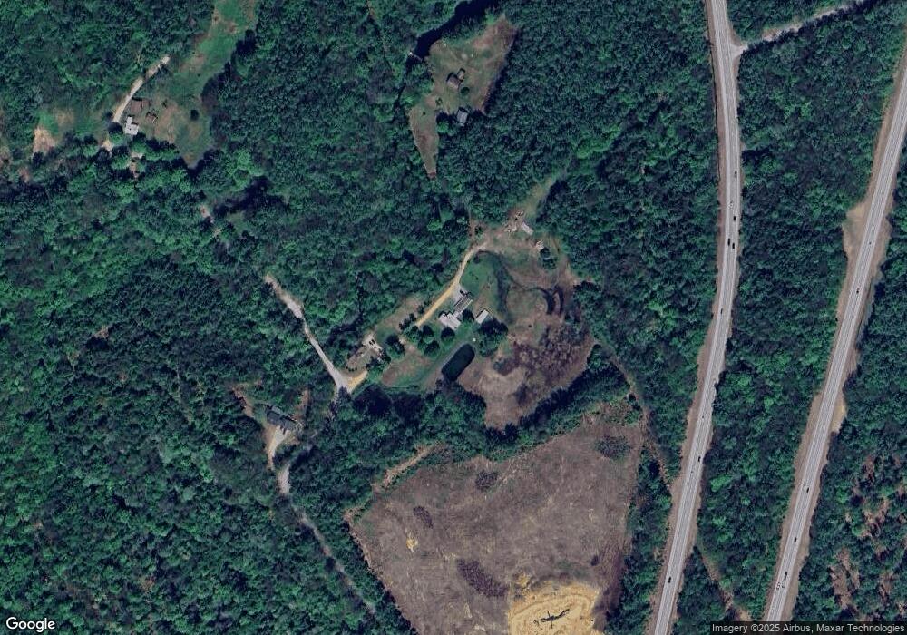
Map
Nearby Homes
- 0 Perley Hill Rd Unit 85
- 0 Mountain Rd Unit 5064513
- 724 Sanborn Rd
- 314 Stage Rd
- 0 Gulf Rd Unit 33 5061892
- 100 Cram Rd
- 42 Hermit Lake Rd
- 104 New Hampton Rd
- 00 Patriot Ln Unit 1
- 7 Simmons Ct
- 251 Hill Rd
- 00 Hueber Dr
- 21 Mountain View Dr
- 0 Shop Rd
- 28 Pine Colony Rd
- 3 Shop Rd
- 225 Kendall St
- 118 Upper Bay Rd
- 208 Sanborn St
- Lot 4 Piper St
- 178 Johnson Rd
- 164 Johnson Rd
- 40 Brook Rd
- 0 Brook Rd
- 0 Brook Rd Unit 4322245
- 37 Brook Rd
- 50 Brook Rd
- 55 Brook Rd
- 1064 New Hampton Rd
- 88 Johnson Rd
- 205 Johnson Rd
- 1030 New Hampton Rd
- 95 Johnson Rd
- 1046 New Hampton Rd
- 1020 New Hampton Rd
- 71B Brook Rd
- 71A Brook Rd
- 1066 New Hampton Rd
- 71 Brook Rd
- 1000 New Hampton Rd