181 More Acres Rd Wilton, ME 04294
Estimated Value: $119,974 - $184,000
2
Beds
1
Bath
792
Sq Ft
$192/Sq Ft
Est. Value
About This Home
This home is located at 181 More Acres Rd, Wilton, ME 04294 and is currently estimated at $152,244, approximately $192 per square foot. 181 More Acres Rd is a home with nearby schools including Mt. Blue High School.
Create a Home Valuation Report for This Property
The Home Valuation Report is an in-depth analysis detailing your home's value as well as a comparison with similar homes in the area
Home Values in the Area
Average Home Value in this Area
Tax History Compared to Growth
Tax History
| Year | Tax Paid | Tax Assessment Tax Assessment Total Assessment is a certain percentage of the fair market value that is determined by local assessors to be the total taxable value of land and additions on the property. | Land | Improvement |
|---|---|---|---|---|
| 2024 | $1,262 | $59,260 | $19,962 | $39,298 |
| 2023 | $1,209 | $59,260 | $19,962 | $39,298 |
| 2022 | $1,150 | $59,260 | $19,962 | $39,298 |
| 2021 | $1,150 | $59,260 | $19,962 | $39,298 |
| 2020 | $1,185 | $59,260 | $19,962 | $39,298 |
| 2019 | $1,185 | $59,260 | $19,962 | $39,298 |
| 2018 | $1,206 | $59,260 | $19,962 | $39,298 |
| 2017 | $1,224 | $59,260 | $19,962 | $39,298 |
| 2016 | $1,426 | $69,047 | $19,962 | $49,085 |
| 2015 | $819 | $43,700 | $19,300 | $24,400 |
| 2014 | $758 | $43,700 | $19,300 | $24,400 |
| 2013 | $710 | $43,700 | $19,300 | $24,400 |
Source: Public Records
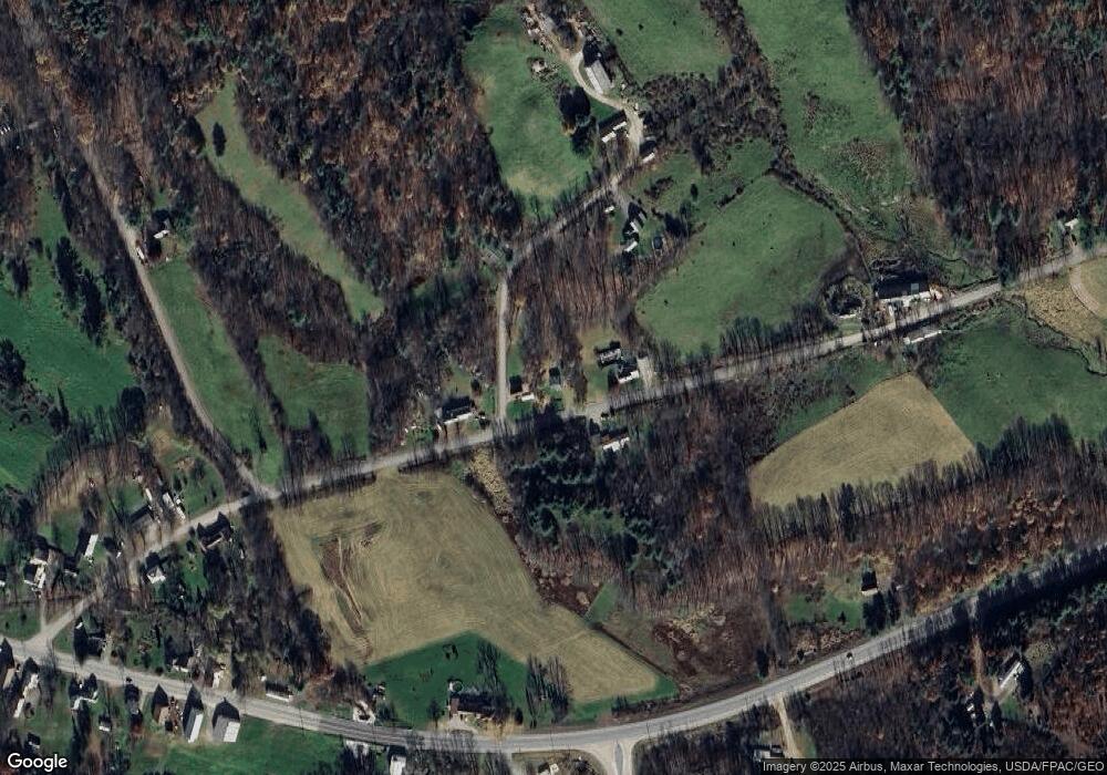
Map
Nearby Homes
- 221 More Acres Rd
- 2016 U S 2
- 55 Woodland Ave
- 2 Gilbert St S
- M-25 L-006 Weld Rd
- 42 Fernald St
- 189 Basin Rd
- 5 Prospect St
- M222 L11 Basin Rd
- 1059 Main St
- 2 Prospect St
- 269 Weld Rd
- 60 Rolling Ridge
- 15 Highland Ave
- 450 Old Jay Hill Rd
- 0 Canton Mountain Rd Unit 1642193
- 122 Prospect St
- 46 Webb Ave
- Lots B&C Hanslip Rd
- 020 Canton Mountain Rd
- 183 More Acres Rd
- 173 More Acres Rd
- 189 More Acres Rd
- 110 More Acres Rd
- 29 Smith Rd
- 40 Smith Rd
- 149 More Acres Rd
- 907 Us Route 2 W
- 00 No Street (Row Off Butterfield
- 141 More Acres Rd
- 214 More Acres Rd
- 483 U S 2
- 902 Us Route 2 W
- 939 U S 2
- 939 Us Route 2 W
- 935 Us Route 2 W
- 931 Us Route 2 W
- 896 Us Route 2 W
- 222 More Acres Rd
- 26 E Dixfield Rd