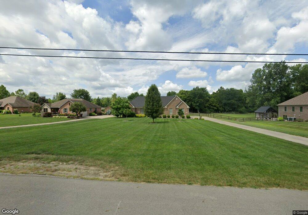
181 Scholl Rd Franklin, OH 45005
Estimated Value: $424,000 - $462,000
3
Beds
2
Baths
2,204
Sq Ft
$199/Sq Ft
Est. Value
About This Home
This home is located at 181 Scholl Rd, Franklin, OH 45005 and is currently estimated at $438,176, approximately $198 per square foot. 181 Scholl Rd is a home located in Warren County with nearby schools including Franklin High School.
Ownership History
Date
Name
Owned For
Owner Type
Purchase Details
Closed on
Mar 9, 2015
Sold by
Henderson Conna L and Henderson Jennifer R
Bought by
Henderson Jennifer R and Henderson Steven
Current Estimated Value
Purchase Details
Closed on
Dec 27, 2013
Sold by
Mccarty Bruce A and Mccarty Cheryl A
Bought by
Henderson Jennifer R and Henderson Conna L
Purchase Details
Closed on
Apr 13, 2007
Sold by
Lewcen Corp Inc
Bought by
Mccarty Bruce A and Mccarty Cheryl A
Create a Home Valuation Report for This Property
The Home Valuation Report is an in-depth analysis detailing your home's value as well as a comparison with similar homes in the area
Home Values in the Area
Average Home Value in this Area
Purchase History
| Date | Buyer | Sale Price | Title Company |
|---|---|---|---|
| Henderson Jennifer R | -- | Attorney | |
| Henderson Jennifer R | $280,000 | None Available | |
| Mccarty Bruce A | $37,500 | Midwest Title Co |
Source: Public Records
Tax History
| Year | Tax Paid | Tax Assessment Tax Assessment Total Assessment is a certain percentage of the fair market value that is determined by local assessors to be the total taxable value of land and additions on the property. | Land | Improvement |
|---|---|---|---|---|
| 2025 | $6,285 | $133,320 | $15,760 | $117,560 |
| 2024 | $6,285 | $133,320 | $15,760 | $117,560 |
| 2023 | $6,006 | $114,348 | $12,393 | $101,955 |
| 2022 | $5,891 | $114,349 | $12,394 | $101,955 |
| 2021 | $5,585 | $114,349 | $12,394 | $101,955 |
| 2020 | $5,366 | $96,905 | $10,504 | $86,401 |
| 2019 | $4,881 | $96,905 | $10,504 | $86,401 |
| 2018 | $4,514 | $90,990 | $10,504 | $80,486 |
| 2017 | $4,837 | $87,833 | $10,427 | $77,406 |
| 2016 | $5,298 | $87,833 | $10,427 | $77,406 |
| 2015 | $5,276 | $87,833 | $10,427 | $77,406 |
| 2014 | $4,539 | $79,850 | $9,480 | $70,370 |
| 2013 | $3,898 | $88,470 | $10,500 | $77,970 |
Source: Public Records
Map
Nearby Homes
- 31 Sprucewood Ct
- 4100 Beal Rd
- 111 Evergreen Ct
- 6 Beal Rd
- 0 Kathy Ln Unit 1834240
- 0 Kathy Ln Unit 930066
- 995 E 4th St
- 6323 Shaker Rd
- 5684 Olive Rd
- 25 Timber Creek Dr
- 65 Timber Creek Dr
- 100 Pleasant Hill Blvd
- 7189 Shaker Rd
- 388 Thomas Dr
- 218 Roberts Ave
- 5265 Robinson Vail Rd
- 409 Millard Dr
- 760 David Blvd
- 747 David Blvd
- 25 Copperhead Trail
Your Personal Tour Guide
Ask me questions while you tour the home.