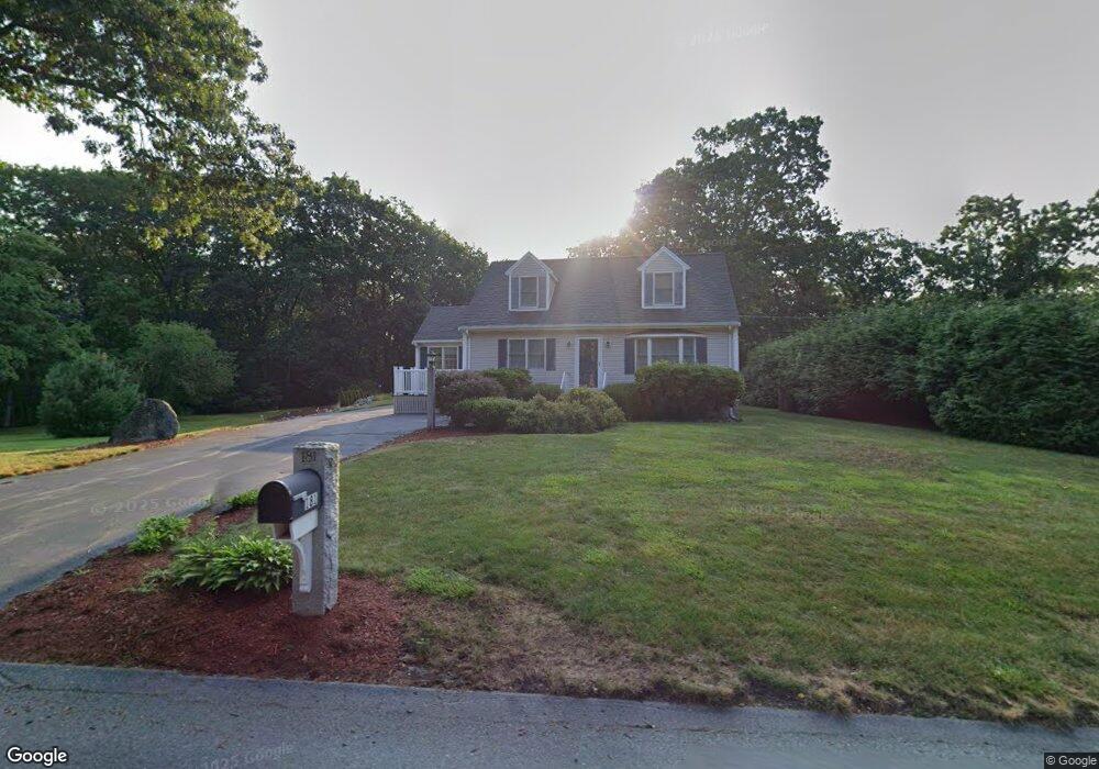
181 Varnum Ave Dracut, MA 01826
Estimated Value: $609,910 - $673,000
2
Beds
2
Baths
1,715
Sq Ft
$367/Sq Ft
Est. Value
About This Home
This home is located at 181 Varnum Ave, Dracut, MA 01826 and is currently estimated at $629,728, approximately $367 per square foot. 181 Varnum Ave is a home located in Middlesex County with nearby schools including Joseph A. Campbell Elementary School, Richardson Middle School, and Dracut Senior High School.
Ownership History
Date
Name
Owned For
Owner Type
Purchase Details
Closed on
Jun 8, 1987
Sold by
Martin Richard P
Bought by
Larose David W
Current Estimated Value
Home Financials for this Owner
Home Financials are based on the most recent Mortgage that was taken out on this home.
Original Mortgage
$90,000
Interest Rate
10.38%
Mortgage Type
Purchase Money Mortgage
Create a Home Valuation Report for This Property
The Home Valuation Report is an in-depth analysis detailing your home's value as well as a comparison with similar homes in the area
Home Values in the Area
Average Home Value in this Area
Purchase History
| Date | Buyer | Sale Price | Title Company |
|---|---|---|---|
| Larose David W | $146,450 | -- |
Source: Public Records
Mortgage History
| Date | Status | Borrower | Loan Amount |
|---|---|---|---|
| Open | Larose David W | $125,000 | |
| Closed | Larose David W | $100,000 | |
| Closed | Larose David W | $89,200 | |
| Closed | Larose David W | $90,000 |
Source: Public Records
Tax History Compared to Growth
Tax History
| Year | Tax Paid | Tax Assessment Tax Assessment Total Assessment is a certain percentage of the fair market value that is determined by local assessors to be the total taxable value of land and additions on the property. | Land | Improvement |
|---|---|---|---|---|
| 2025 | $5,904 | $583,400 | $226,900 | $356,500 |
| 2024 | $5,598 | $535,700 | $216,100 | $319,600 |
| 2023 | $5,430 | $468,900 | $188,000 | $280,900 |
| 2022 | $5,634 | $458,400 | $170,900 | $287,500 |
| 2021 | $5,732 | $440,600 | $155,200 | $285,400 |
| 2020 | $5,631 | $421,800 | $150,600 | $271,200 |
| 2019 | $5,701 | $414,600 | $143,400 | $271,200 |
| 2018 | $5,990 | $367,200 | $143,400 | $223,800 |
| 2017 | $0 | $367,200 | $143,400 | $223,800 |
| 2016 | $4,737 | $319,200 | $137,800 | $181,400 |
| 2015 | $4,639 | $310,700 | $137,800 | $172,900 |
| 2014 | $4,404 | $303,900 | $137,800 | $166,100 |
Source: Public Records
Map
Nearby Homes
- 31 Varnum Ave
- 51 Bellevue Ave
- 821 Merrimack Ave
- 14 Mount Pleasant Ave
- 931 Methuen St Unit 6
- 2 Francis Dr Unit 412
- 4 Francis Dr Unit 105
- 2 Francis Dr Unit 213
- 4 Francis Dr Unit 207
- 820 Methuen St Unit 820
- 2 Nollet Dr
- 322 River Rd
- 12 Hayfield Rd
- 173 Merrimack Meadows Ln Unit 162
- 78 Merrimack Meadows Ln Unit 78
- 46 Hopkins Cir
- 72 Sherwood Dr Unit 72
- 42 Hopkins Cir
- 44 Hopkins Cir Unit 44
- 11 Merrimack Meadows Ln Unit 17
- 173 Varnum Ave
- 178 Varnum Ave
- 163 Varnum Ave
- 193 Varnum Ave
- 168 Varnum Ave
- 197 Varnum Ave
- 153 Varnum Ave
- 160 Varnum Ave
- 200 Varnum Ave
- 152 Varnum Ave
- 138 Varnum Ave
- 137 Varnum Ave
- 208 Varnum Ave
- 136 Varnum Ave
- 1243 Methuen St
- 220 Varnum Ave
- 1271 Methuen St
- 1305 Methuen St
- 134 Varnum Ave
- 1264 Methuen St