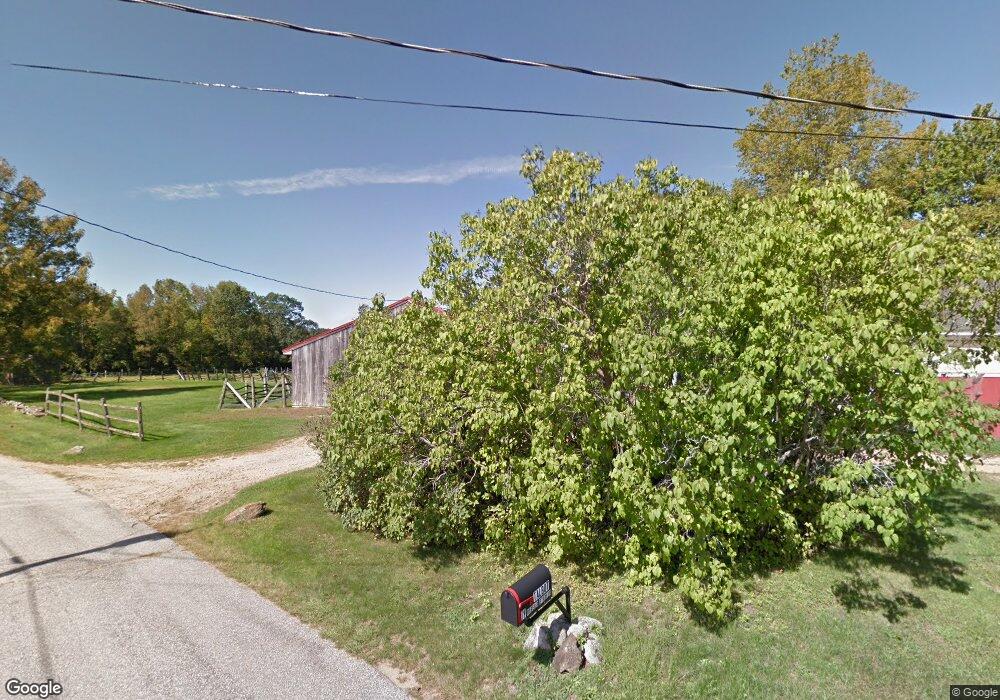
181 Wing Rd Allenstown, NH 03275
Estimated Value: $584,000 - $708,000
3
Beds
2
Baths
3,916
Sq Ft
$164/Sq Ft
Est. Value
About This Home
This home is located at 181 Wing Rd, Allenstown, NH 03275 and is currently estimated at $643,990, approximately $164 per square foot. 181 Wing Rd is a home located in Merrimack County with nearby schools including Allenstown Elementary School and Armand R. Dupont School.
Create a Home Valuation Report for This Property
The Home Valuation Report is an in-depth analysis detailing your home's value as well as a comparison with similar homes in the area
Home Values in the Area
Average Home Value in this Area
Tax History Compared to Growth
Tax History
| Year | Tax Paid | Tax Assessment Tax Assessment Total Assessment is a certain percentage of the fair market value that is determined by local assessors to be the total taxable value of land and additions on the property. | Land | Improvement |
|---|---|---|---|---|
| 2024 | $10,699 | $420,872 | $145,072 | $275,800 |
| 2023 | $8,925 | $420,981 | $145,181 | $275,800 |
| 2022 | $8,209 | $420,989 | $145,189 | $275,800 |
| 2021 | $8,807 | $279,601 | $90,101 | $189,500 |
| 2020 | $8,205 | $280,033 | $90,533 | $189,500 |
| 2019 | $8,709 | $280,033 | $90,533 | $189,500 |
| 2018 | $8,443 | $280,044 | $90,544 | $189,500 |
| 2017 | $11,024 | $343,315 | $90,415 | $252,900 |
| 2016 | $9,147 | $270,133 | $68,333 | $201,800 |
| 2015 | $8,861 | $269,918 | $68,118 | $201,800 |
| 2014 | $9,118 | $269,918 | $68,118 | $201,800 |
| 2013 | $8,516 | $270,096 | $107,696 | $162,400 |
Source: Public Records
Map
Nearby Homes
- 370 River Rd
- 14 Queens Ln
- 9 Princess Ln
- 6 Adams St
- 43 Catamount Hill Dr
- 8 Bush Ave
- 6 Jackson Ave
- 11 Presidential Dr
- 1 Jefferson Ave
- 5 Catamount Hill Dr
- 0 Poor Town Rd Unit 4
- 243 Middle Rd
- 19 Silver Hill Dr
- 24 Towle Pasture Dr
- 9 Pine Acres Rd
- 94 Mount Delight Rd
- 43 Black Hall Rd Unit A2
- 42 Windymere Dr
- 20 Mountain Rd
- 101 4th Range Rd Unit 4