Estimated Value: $264,326 - $427,000
2
Beds
1
Bath
1,262
Sq Ft
$250/Sq Ft
Est. Value
About This Home
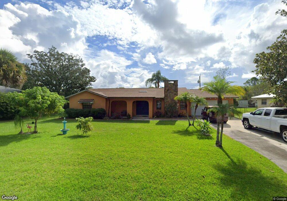
This home is located at 1810 Britt Rd, Cocoa, FL 32926 and is currently estimated at $315,582, approximately $250 per square foot. 1810 Britt Rd is a home located in Brevard County with nearby schools including Cocoa High School, Saturn Elementary School, and Space Coast Christian Academy.
Ownership History
Date
Name
Owned For
Owner Type
Purchase Details
Closed on
Nov 25, 2025
Sold by
Wilder Elizabeth Marian and Peck Brigid Mary
Bought by
Snyder Richard and Wilder Elizabeth Marian
Current Estimated Value
Purchase Details
Closed on
Jan 9, 2009
Sold by
Cady Jon C
Bought by
Lay Susan H
Home Financials for this Owner
Home Financials are based on the most recent Mortgage that was taken out on this home.
Original Mortgage
$86,250
Interest Rate
5.95%
Purchase Details
Closed on
Jan 8, 2009
Sold by
Riddick Grisham Susan N and Grisham Susan N
Bought by
Lay Susan H
Home Financials for this Owner
Home Financials are based on the most recent Mortgage that was taken out on this home.
Original Mortgage
$86,250
Interest Rate
5.95%
Purchase Details
Closed on
Jan 7, 2009
Sold by
Bosket Jo Ellen
Bought by
Lay Susan H
Home Financials for this Owner
Home Financials are based on the most recent Mortgage that was taken out on this home.
Original Mortgage
$86,250
Interest Rate
5.95%
Purchase Details
Closed on
Feb 21, 2002
Sold by
Cady Donald A and Cady Jon C
Bought by
Cady Donald A
Create a Home Valuation Report for This Property
The Home Valuation Report is an in-depth analysis detailing your home's value as well as a comparison with similar homes in the area
Home Values in the Area
Average Home Value in this Area
Purchase History
| Date | Buyer | Sale Price | Title Company |
|---|---|---|---|
| Snyder Richard | $100 | None Listed On Document | |
| Lay Susan H | -- | Attorney | |
| Lay Susan H | -- | Attorney | |
| Lay Susan H | $115,000 | Attorney | |
| Cady Donald A | -- | -- |
Source: Public Records
Mortgage History
| Date | Status | Borrower | Loan Amount |
|---|---|---|---|
| Previous Owner | Lay Susan H | $86,250 |
Source: Public Records
Tax History
| Year | Tax Paid | Tax Assessment Tax Assessment Total Assessment is a certain percentage of the fair market value that is determined by local assessors to be the total taxable value of land and additions on the property. | Land | Improvement |
|---|---|---|---|---|
| 2025 | $3,031 | $208,890 | -- | -- |
| 2024 | $2,854 | $209,570 | -- | -- |
| 2023 | $2,854 | $191,360 | $0 | $0 |
| 2022 | $2,542 | $172,460 | $0 | $0 |
| 2021 | $2,421 | $146,260 | $35,000 | $111,260 |
| 2020 | $2,222 | $129,380 | $23,000 | $106,380 |
| 2019 | $2,127 | $124,080 | $23,000 | $101,080 |
| 2018 | $2,035 | $116,200 | $23,000 | $93,200 |
| 2017 | $1,949 | $106,490 | $23,000 | $83,490 |
| 2016 | $1,861 | $95,640 | $19,000 | $76,640 |
| 2015 | $1,726 | $82,910 | $19,000 | $63,910 |
| 2014 | $1,681 | $79,080 | $19,000 | $60,080 |
Source: Public Records
Map
Nearby Homes
- 1870 Britt Rd
- TBD Rayburn Rd
- 4550 Highway 524
- 1817 Ponderosa St
- 1835 Longleaf Rd
- 1325 Friday Rd
- 4005 Pinyon Dr
- 5101 Craig Rd
- 5121 Dalehurst Dr
- 2212 Spring Cir
- 634 Outer Dr
- 4651 N Friday Cir
- 755 Outer Dr Unit 362
- 785 Outer Dr
- 427 Horseshoe Bend Cir Unit 151
- 694 Outer Dr Unit 184
- 3813 Stonemont Dr
- 3802 Arrowsmith Dr
- 495 Outer Dr Unit 201
- 336 Horseshoe Bend Cir Unit 197
Your Personal Tour Guide
Ask me questions while you tour the home.