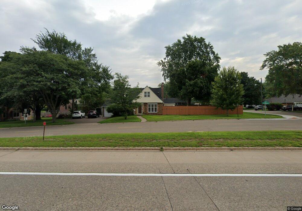
1810 Snelling Ave N Saint Paul, MN 55113
Estimated Value: $402,000 - $433,000
4
Beds
2
Baths
1,447
Sq Ft
$287/Sq Ft
Est. Value
About This Home
This home is located at 1810 Snelling Ave N, Saint Paul, MN 55113 and is currently estimated at $415,082, approximately $286 per square foot. 1810 Snelling Ave N is a home located in Ramsey County with nearby schools including Falcon Heights Elementary, Roseville Area Middle School, and Roseville Area Senior High School.
Ownership History
Date
Name
Owned For
Owner Type
Purchase Details
Closed on
May 31, 2018
Sold by
Lee Steven and Nelson Reid Loretta J
Bought by
Derosier Derek M
Current Estimated Value
Home Financials for this Owner
Home Financials are based on the most recent Mortgage that was taken out on this home.
Original Mortgage
$261,250
Outstanding Balance
$225,937
Interest Rate
4.5%
Mortgage Type
New Conventional
Estimated Equity
$189,145
Purchase Details
Closed on
Mar 30, 2001
Sold by
Christenson Corey and Christensen Jessica
Bought by
Bianchet James A
Purchase Details
Closed on
Jun 17, 1996
Sold by
Us Dept Of Hud
Bought by
Carlson Gary G
Create a Home Valuation Report for This Property
The Home Valuation Report is an in-depth analysis detailing your home's value as well as a comparison with similar homes in the area
Home Values in the Area
Average Home Value in this Area
Purchase History
| Date | Buyer | Sale Price | Title Company |
|---|---|---|---|
| Derosier Derek M | $275,000 | Watermark Title Agency | |
| Bianchet James A | $173,000 | -- | |
| Carlson Gary G | $89,103 | -- |
Source: Public Records
Mortgage History
| Date | Status | Borrower | Loan Amount |
|---|---|---|---|
| Open | Derosier Derek M | $261,250 |
Source: Public Records
Tax History Compared to Growth
Tax History
| Year | Tax Paid | Tax Assessment Tax Assessment Total Assessment is a certain percentage of the fair market value that is determined by local assessors to be the total taxable value of land and additions on the property. | Land | Improvement |
|---|---|---|---|---|
| 2025 | $5,030 | $429,700 | $77,600 | $352,100 |
| 2023 | $5,030 | $361,100 | $77,600 | $283,500 |
| 2022 | $4,774 | $387,900 | $77,600 | $310,300 |
| 2021 | $4,446 | $321,700 | $77,600 | $244,100 |
| 2020 | $4,304 | $322,900 | $77,600 | $245,300 |
| 2019 | $3,824 | $300,200 | $77,600 | $222,600 |
| 2018 | $3,750 | $261,000 | $77,600 | $183,400 |
| 2017 | $2,954 | $259,900 | $77,600 | $182,300 |
| 2016 | $3,156 | $0 | $0 | $0 |
| 2015 | $3,354 | $245,300 | $83,100 | $162,200 |
| 2014 | $3,018 | $0 | $0 | $0 |
Source: Public Records
Map
Nearby Homes
- 1776 Saint Marys St
- 1446 Shryer Ave W
- 1455 Shryer Ave W
- 57X Roselawn Ave W
- 1544 Asbury St
- 1609 Huron St
- 1620 County Road B W
- 1624 County Road B W
- 1507 Holton St
- 1615 Chelsea St
- 1541 Hamline Ave N
- 1265 Shryer Ave W
- 1529 Hamline Ave N
- 1150 Summer St
- 1464 Sheldon St
- 1407 Pascal St N
- 1387 Asbury St
- 1690 Highway 36 W Unit 216
- 692 Skillman Ave W
- 1116 Roselawn Ave W
- 1810 Snelling Dr
- 1809 1809 Asbury-Street-
- 1809 Asbury St
- 1821 Asbury St
- 1826 Snelling Ave N
- 1800 Snelling Ave N
- 1801 Asbury St
- 1831 Asbury St
- 1816 1816 Asbury St
- 1840 Snelling Ave N
- 1808 1808 Asbury St
- 1816 Asbury St
- 1824 Asbury St
- 1789 1789 Asbury St
- 1789 Asbury St
- 1591 Garden Ave
- 1591 1591 Garden Ave
- 1802 1802 Asbury St
- 1802 1802 Asbury-Street-
- 1597 Garden Ave