1811 170th St W Shakopee, MN 55379
Estimated Value: $769,000 - $919,000
3
Beds
4
Baths
3,471
Sq Ft
$243/Sq Ft
Est. Value
About This Home
This home is located at 1811 170th St W, Shakopee, MN 55379 and is currently estimated at $843,875, approximately $243 per square foot. 1811 170th St W is a home located in Scott County with nearby schools including Sweeney Elementary School, East Middle School, and Shakopee Senior High School.
Ownership History
Date
Name
Owned For
Owner Type
Purchase Details
Closed on
Oct 9, 2020
Sold by
Stivers Trent E and Stivers Janet E
Bought by
Volchkova Timur and Volchkova Elena Grace
Current Estimated Value
Home Financials for this Owner
Home Financials are based on the most recent Mortgage that was taken out on this home.
Original Mortgage
$455,000
Outstanding Balance
$404,698
Interest Rate
2.9%
Mortgage Type
New Conventional
Estimated Equity
$439,177
Purchase Details
Closed on
May 14, 1999
Sold by
Gerold Dolores M
Bought by
Stivers Trent E and Stivers Janet E
Create a Home Valuation Report for This Property
The Home Valuation Report is an in-depth analysis detailing your home's value as well as a comparison with similar homes in the area
Home Values in the Area
Average Home Value in this Area
Purchase History
| Date | Buyer | Sale Price | Title Company |
|---|---|---|---|
| Volchkova Timur | $650,000 | Gibraltar Title Agency Llc | |
| Stivers Trent E | $16,000 | -- |
Source: Public Records
Mortgage History
| Date | Status | Borrower | Loan Amount |
|---|---|---|---|
| Open | Volchkova Timur | $455,000 |
Source: Public Records
Tax History Compared to Growth
Tax History
| Year | Tax Paid | Tax Assessment Tax Assessment Total Assessment is a certain percentage of the fair market value that is determined by local assessors to be the total taxable value of land and additions on the property. | Land | Improvement |
|---|---|---|---|---|
| 2025 | $8,024 | $838,000 | $242,800 | $595,200 |
| 2024 | $6,958 | $797,200 | $250,700 | $546,500 |
| 2023 | $6,838 | $699,200 | $249,400 | $449,800 |
| 2022 | $5,731 | $685,500 | $249,400 | $436,100 |
| 2021 | $4,664 | $487,200 | $208,100 | $279,100 |
| 2020 | $5,342 | $465,500 | $206,600 | $258,900 |
| 2019 | $5,228 | $463,400 | $206,600 | $256,800 |
| 2018 | $5,190 | $0 | $0 | $0 |
| 2016 | $4,624 | $0 | $0 | $0 |
Source: Public Records
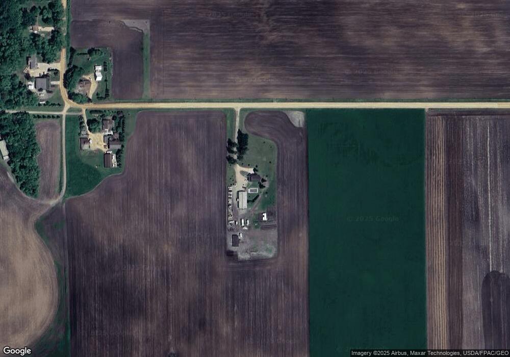
Map
Nearby Homes
- 1400 170th St W
- XXX 160th St
- 17620 Xanadu Ave
- XXX Bluff Dr
- 265 Mallard Dr
- 1235 N Sutton Lake Blvd
- 3088 Sunflower Way NW
- 17825 Valley View Dr
- 3064 Sunflower Way NW
- The Jordan Plan at Springview Meadows
- The Redwood Plan at Springview Meadows
- The Adams Plan at Springview Meadows
- The Whitney Plan at Springview Meadows
- 3105 Sunflower Way NW
- 3167 Sunflower Way NW
- 3164 Sunflower Way NW
- 746 Peninsula Point Rd
- 1017 Vista Ridge Ln
- 13950 Marystown Rd
- 981 Peninsula Point Rd
- 1975 170th St W
- 1976 170th St W
- 16976 Harlow Ave
- 16920 Harlow Ave
- 17000 Harlow Ave
- 16936 Grommesch Cir
- 16810 Harlow Ave
- 16865 Grommesch Cir
- 16651 Harlow Ave
- 17191 Zumbro Ave
- 16896 Grommesch Cir
- 17225 Zumbro Ave
- 17231 Zumbro Ave
- 16860 Grommesch Cir
- 16726 Harlow Ave
- 17301 Zumbro Ave
- 16826 Grommesch Cir
- 17496 Zumbro Ave
- 17181 Pueblo Ave
- 2385 165th St W