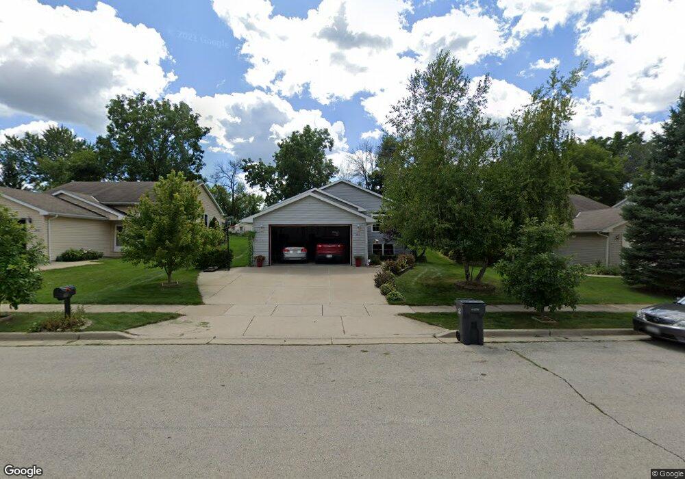
1811 Patricia Ln Waukesha, WI 53188
Estimated Value: $395,000 - $487,946
4
Beds
3
Baths
2,444
Sq Ft
$186/Sq Ft
Est. Value
About This Home
This home is located at 1811 Patricia Ln, Waukesha, WI 53188 and is currently estimated at $454,987, approximately $186 per square foot. 1811 Patricia Ln is a home located in Waukesha County with nearby schools including Summit View Elementary School, Butler Middle School, and North High School.
Ownership History
Date
Name
Owned For
Owner Type
Purchase Details
Closed on
Apr 16, 2001
Sold by
Tom Kolafa Builders Inc
Bought by
Anderson Juanita C and Tyler Stephen W
Current Estimated Value
Home Financials for this Owner
Home Financials are based on the most recent Mortgage that was taken out on this home.
Original Mortgage
$90,000
Outstanding Balance
$33,005
Interest Rate
6.95%
Estimated Equity
$421,983
Create a Home Valuation Report for This Property
The Home Valuation Report is an in-depth analysis detailing your home's value as well as a comparison with similar homes in the area
Home Values in the Area
Average Home Value in this Area
Purchase History
| Date | Buyer | Sale Price | Title Company |
|---|---|---|---|
| Anderson Juanita C | $166,900 | -- |
Source: Public Records
Mortgage History
| Date | Status | Borrower | Loan Amount |
|---|---|---|---|
| Open | Anderson Juanita C | $90,000 |
Source: Public Records
Tax History Compared to Growth
Tax History
| Year | Tax Paid | Tax Assessment Tax Assessment Total Assessment is a certain percentage of the fair market value that is determined by local assessors to be the total taxable value of land and additions on the property. | Land | Improvement |
|---|---|---|---|---|
| 2024 | $6,490 | $433,300 | $68,000 | $365,300 |
| 2023 | $6,322 | $433,300 | $68,000 | $365,300 |
| 2022 | $5,039 | $261,900 | $52,800 | $209,100 |
| 2021 | $5,160 | $261,900 | $52,800 | $209,100 |
| 2020 | $4,981 | $261,900 | $52,800 | $209,100 |
| 2019 | $4,829 | $261,900 | $52,800 | $209,100 |
| 2018 | $4,473 | $238,100 | $49,600 | $188,500 |
| 2017 | $4,458 | $238,100 | $49,600 | $188,500 |
| 2016 | $4,530 | $226,800 | $49,600 | $177,200 |
| 2015 | $4,502 | $226,800 | $49,600 | $177,200 |
| 2014 | $4,464 | $216,000 | $49,600 | $166,400 |
| 2013 | $4,464 | $216,000 | $49,600 | $166,400 |
Source: Public Records
Map
Nearby Homes
- 2012 Sunkist Ave
- 1606 Pleasant View Ave
- 1516 Pleasant View Ave
- 1513 N Bel Ayr Dr
- 2339 Bramblewood Ct
- 1825 Woodburn Rd Unit C
- 2145 Broken Hill Rd Unit 5
- 1509 Aldoro Dr
- 2013 Woodburn Rd Unit A
- 704 Western Ave
- 1540 Pine St
- 630 Westowne Ave
- 2207 Norwood Dr
- 2112 Woodburn Rd Unit E
- 608 N Grandview Blvd
- 2006 Garland Ave
- 2732 Northview Rd Unit 88
- 2605 Emslie Dr
- 2728 Northview Rd Unit 61
- 1400 Summit Ave
- 1815 Patricia Ln
- 1807 Patricia Ln
- 1901 Patricia Ln
- 1801 Patricia Ln
- 1810 Patricia Ln
- 1806 Patricia Ln
- 1814 Patricia Ln
- 1800 Patricia Ln
- 1717 Patricia Ln
- 2024 Sunkist Ave
- 1712 Patricia Ln
- 2020 Sunkist Ave
- 1904 Patricia Ln
- 1711 Patricia Ln
- 2104 Sunkist Ave
- 1909 Patricia Ln
- 1905 Patricia Ln
- 2016 Sunkist Ave
- 1900 Patricia Ln
- 2100 Sunkist Ave