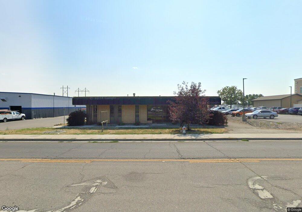
1812 Monad Rd Billings, MT 59102
East Central Billings Neighborhood
--
Bed
--
Bath
6,146
Sq Ft
0.84
Acres
About This Home
This home is located at 1812 Monad Rd, Billings, MT 59102. 1812 Monad Rd is a home located in Yellowstone County with nearby schools including Miles Avenue School, Lewis & Clark Junior High School, and Billings West High School.
Ownership History
Date
Name
Owned For
Owner Type
Purchase Details
Closed on
Feb 7, 2025
Sold by
Jlm Llc
Bought by
Mehus Holdings Llc
Home Financials for this Owner
Home Financials are based on the most recent Mortgage that was taken out on this home.
Original Mortgage
$660,000
Outstanding Balance
$656,032
Interest Rate
6.85%
Mortgage Type
New Conventional
Purchase Details
Closed on
Mar 30, 2017
Sold by
1812 Monad Llc
Bought by
Jlm Llc
Create a Home Valuation Report for This Property
The Home Valuation Report is an in-depth analysis detailing your home's value as well as a comparison with similar homes in the area
Home Values in the Area
Average Home Value in this Area
Purchase History
| Date | Buyer | Sale Price | Title Company |
|---|---|---|---|
| Mehus Holdings Llc | -- | First Montana Title | |
| Jlm Llc | -- | First Montana Title |
Source: Public Records
Mortgage History
| Date | Status | Borrower | Loan Amount |
|---|---|---|---|
| Open | Mehus Holdings Llc | $660,000 | |
| Closed | Mehus Holdings Llc | $339,000 |
Source: Public Records
Tax History Compared to Growth
Tax History
| Year | Tax Paid | Tax Assessment Tax Assessment Total Assessment is a certain percentage of the fair market value that is determined by local assessors to be the total taxable value of land and additions on the property. | Land | Improvement |
|---|---|---|---|---|
| 2025 | $7,145 | $568,300 | $361,562 | $206,738 |
| 2024 | $7,145 | $472,600 | $271,921 | $200,679 |
| 2023 | $7,507 | $472,600 | $271,921 | $200,679 |
| 2022 | $6,049 | $457,600 | $0 | $0 |
| 2021 | $7,664 | $457,600 | $0 | $0 |
| 2020 | $7,953 | $460,700 | $0 | $0 |
| 2019 | $7,612 | $460,700 | $0 | $0 |
| 2018 | $7,537 | $449,400 | $0 | $0 |
| 2017 | $7,318 | $449,400 | $0 | $0 |
| 2016 | $6,952 | $407,400 | $0 | $0 |
| 2015 | $6,797 | $407,400 | $0 | $0 |
| 2014 | $6,286 | $277,027 | $0 | $0 |
Source: Public Records
Map
Nearby Homes
- 2014 George St
- 2016 Monad Rd
- 240 Birchwood Dr
- 2109 George St
- 126 Ardmore Dr
- 2150 Eldorado Dr
- 669 S 22nd St W
- 16 19th St W
- 102 S Santa fe Dr
- 28 19th St W
- 2225 Rosebud Dr
- 2207 Central Ave
- 2 Mcbride St
- 12 Macarthur Ave
- 19 Patton Ave
- 305 17th St W
- 1532 Howard Ave
- 231 S 12th St W
- 1219 Fairvale Dr
- 141 S 12th St W
- 1804 Monad Rd
- 245 Birchwood Dr
- 2003 George St
- 2004 Monad Rd
- 2002 George St
- 2007 George St
- 2014 Monad Rd
- 239 S Crestwood Dr
- 2008 George St
- 2001 Canyon Dr
- 244 Birchwood Dr
- 2013 George St
- 233 S Crestwood Dr
- 2007 Canyon Dr
- 2021 George St
- 2020 George St
- 2020 Monad Rd
- 227 S Crestwood Dr
- 2004 Beloit Dr
- 2015 Canyon Dr