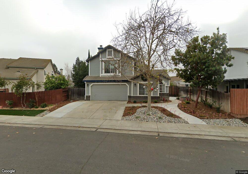
1812 Olvera Dr Woodland, CA 95776
Estimated Value: $595,000 - $744,000
4
Beds
3
Baths
2,733
Sq Ft
$244/Sq Ft
Est. Value
About This Home
This home is located at 1812 Olvera Dr, Woodland, CA 95776 and is currently estimated at $667,092, approximately $244 per square foot. 1812 Olvera Dr is a home located in Yolo County with nearby schools including Ramon S. Tafoya Elementary School, Douglass Middle School, and Pioneer High School.
Ownership History
Date
Name
Owned For
Owner Type
Purchase Details
Closed on
Aug 21, 2008
Sold by
Ewing Duane D and Ewing Raylene L
Bought by
Ewing Duane D and Ewing Raylene L
Current Estimated Value
Purchase Details
Closed on
Jan 28, 1997
Sold by
U S Home Corporation
Bought by
Ewing Duane D and Ewing Raylene L
Home Financials for this Owner
Home Financials are based on the most recent Mortgage that was taken out on this home.
Original Mortgage
$115,700
Interest Rate
7.74%
Create a Home Valuation Report for This Property
The Home Valuation Report is an in-depth analysis detailing your home's value as well as a comparison with similar homes in the area
Home Values in the Area
Average Home Value in this Area
Purchase History
| Date | Buyer | Sale Price | Title Company |
|---|---|---|---|
| Ewing Duane D | -- | None Available | |
| Ewing Duane D | $194,000 | Placer Title Company |
Source: Public Records
Mortgage History
| Date | Status | Borrower | Loan Amount |
|---|---|---|---|
| Previous Owner | Ewing Duane D | $115,700 |
Source: Public Records
Tax History Compared to Growth
Tax History
| Year | Tax Paid | Tax Assessment Tax Assessment Total Assessment is a certain percentage of the fair market value that is determined by local assessors to be the total taxable value of land and additions on the property. | Land | Improvement |
|---|---|---|---|---|
| 2025 | $4,317 | $363,218 | $97,706 | $265,512 |
| 2023 | $4,317 | $349,115 | $93,913 | $255,202 |
| 2022 | $4,572 | $342,271 | $92,072 | $250,199 |
| 2021 | $4,516 | $335,561 | $90,267 | $245,294 |
| 2020 | $4,463 | $332,121 | $89,342 | $242,779 |
| 2019 | $4,387 | $325,610 | $87,591 | $238,019 |
| 2018 | $4,344 | $319,226 | $85,874 | $233,352 |
| 2017 | $8,099 | $312,968 | $84,191 | $228,777 |
| 2016 | $8,031 | $306,833 | $82,541 | $224,292 |
| 2015 | $4,077 | $302,225 | $81,302 | $220,923 |
| 2014 | $4,077 | $296,306 | $79,710 | $216,596 |
Source: Public Records
Map
Nearby Homes
- 1840 E Gum Ave
- 737 Farnham Ave
- 1808 Farnham Ave
- 1988 Hackett Dr
- 1967 Hawkins Ct
- 976 Huston Cir
- 1729 Lee Dr
- 1060 Powers Cir
- Residence 1709 Plan at Ruby Cottages
- Residence 2117 Plan at Ruby Cottages
- Residence 1943 Plan at Ruby Cottages
- 2001 Baker Place
- 1414 St Louis Way
- 1422 St Louis Way
- 2021 Santos St
- 2120 Freeway Dr
- 1455 Willow Springs Dr
- 1446 Peterson Dr
- 541 Edwards Cir
- 1429 Patriot Way