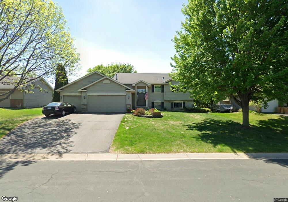
1813 Niagara St Waconia, MN 55387
Estimated Value: $420,000 - $449,000
5
Beds
2
Baths
1,342
Sq Ft
$322/Sq Ft
Est. Value
About This Home
This home is located at 1813 Niagara St, Waconia, MN 55387 and is currently estimated at $431,989, approximately $321 per square foot. 1813 Niagara St is a home located in Carver County with nearby schools including Lincoln Community School, Southview Elementary School, and Waconia Middle School.
Ownership History
Date
Name
Owned For
Owner Type
Purchase Details
Closed on
Aug 18, 2006
Sold by
Helle Dawn L and Helle Stephen
Bought by
Stahlke Rochelle E and Stahlke Ricky
Current Estimated Value
Purchase Details
Closed on
Apr 13, 1999
Sold by
Brandl/Anderson Homes Inc
Bought by
Klug John R and Nelson Dawn L
Purchase Details
Closed on
Dec 2, 1998
Sold by
Builders Development Inc
Bought by
Brandl/Anderson Homes Inc
Create a Home Valuation Report for This Property
The Home Valuation Report is an in-depth analysis detailing your home's value as well as a comparison with similar homes in the area
Home Values in the Area
Average Home Value in this Area
Purchase History
| Date | Buyer | Sale Price | Title Company |
|---|---|---|---|
| Stahlke Rochelle E | $259,500 | -- | |
| Klug John R | $162,210 | -- | |
| Brandl/Anderson Homes Inc | $32,900 | -- |
Source: Public Records
Tax History Compared to Growth
Tax History
| Year | Tax Paid | Tax Assessment Tax Assessment Total Assessment is a certain percentage of the fair market value that is determined by local assessors to be the total taxable value of land and additions on the property. | Land | Improvement |
|---|---|---|---|---|
| 2025 | $4,832 | $402,800 | $115,000 | $287,800 |
| 2024 | $4,642 | $391,600 | $110,000 | $281,600 |
| 2023 | $4,654 | $382,800 | $110,000 | $272,800 |
| 2022 | $4,314 | $392,700 | $99,400 | $293,300 |
| 2021 | $4,046 | $293,300 | $77,300 | $216,000 |
| 2020 | $3,946 | $295,600 | $77,300 | $218,300 |
| 2019 | $3,782 | $266,300 | $73,600 | $192,700 |
| 2018 | $3,394 | $266,300 | $73,600 | $192,700 |
| 2017 | $3,246 | $254,200 | $65,400 | $188,800 |
| 2016 | $3,284 | $234,700 | $0 | $0 |
| 2015 | $2,956 | $224,000 | $0 | $0 |
| 2014 | $2,956 | $194,900 | $0 | $0 |
Source: Public Records
Map
Nearby Homes
- 2040 Fountain Ln
- 1965 Fountain Ln
- 1360 Shadywood Ln
- 1244 Crosswinds Way
- 524 Roanoke Ct
- 1958 Campfire Dr E
- 1954 Campfire Dr E
- 1956 Campfire Dr E
- 565 Waterford Place
- 561 Waterford Place
- 186 Huntington Dr
- 184 Huntington Dr
- 182 Huntington Dr
- 180 Huntington Dr
- 221 Huntington Dr
- 1954 Woods Point
- 215 Huntington Dr
- 553 Waterford Place
- 1851 Campfire Dr E
- 191 Huntington Dr
- 1821 Niagara St
- 1757 Niagara St
- 1829 Niagara St
- 1725 Island Pass
- 1749 Niagara St
- 1852 Moccasin
- 1860 Moccasin
- 1844 Moccasin
- 1724 Niagara St
- 1820 Niagara St
- 1868 Moccasin
- 1836 Moccasin
- 1717 Island Pass
- 1837 Niagara St
- 1741 Niagara St
- 1876 Moccasin
- 1828 Moccasin
- 1708 Island Pass
- 1716 Niagara St
- 1884 Moccasin