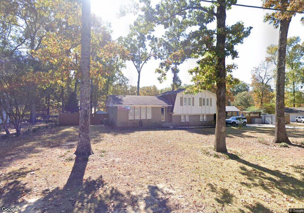
1813 Smoketree Ln Alabaster, AL 35007
Estimated Value: $273,000 - $306,564
--
Bed
1
Bath
1,735
Sq Ft
$164/Sq Ft
Est. Value
About This Home
This home is located at 1813 Smoketree Ln, Alabaster, AL 35007 and is currently estimated at $284,141, approximately $163 per square foot. 1813 Smoketree Ln is a home located in Shelby County with nearby schools including Thompson Intermediate School, Thompson Middle School, and Thompson High School.
Ownership History
Date
Name
Owned For
Owner Type
Purchase Details
Closed on
Feb 22, 2019
Sold by
Hogland Ronald L and Hogland Theresa L
Bought by
Swartz Lisa R
Current Estimated Value
Home Financials for this Owner
Home Financials are based on the most recent Mortgage that was taken out on this home.
Original Mortgage
$178,480
Outstanding Balance
$156,596
Interest Rate
4.4%
Mortgage Type
New Conventional
Estimated Equity
$127,545
Create a Home Valuation Report for This Property
The Home Valuation Report is an in-depth analysis detailing your home's value as well as a comparison with similar homes in the area
Home Values in the Area
Average Home Value in this Area
Purchase History
| Date | Buyer | Sale Price | Title Company |
|---|---|---|---|
| Swartz Lisa R | $184,000 | None Available |
Source: Public Records
Mortgage History
| Date | Status | Borrower | Loan Amount |
|---|---|---|---|
| Open | Swartz Lisa R | $178,480 |
Source: Public Records
Tax History Compared to Growth
Tax History
| Year | Tax Paid | Tax Assessment Tax Assessment Total Assessment is a certain percentage of the fair market value that is determined by local assessors to be the total taxable value of land and additions on the property. | Land | Improvement |
|---|---|---|---|---|
| 2024 | $1,410 | $26,120 | $0 | $0 |
| 2023 | $1,286 | $24,580 | $0 | $0 |
| 2022 | $1,197 | $22,920 | $0 | $0 |
| 2021 | $1,107 | $21,260 | $0 | $0 |
| 2020 | $971 | $18,740 | $0 | $0 |
| 2019 | $827 | $16,080 | $0 | $0 |
| 2017 | $728 | $14,240 | $0 | $0 |
| 2015 | $686 | $13,460 | $0 | $0 |
| 2014 | $669 | $13,140 | $0 | $0 |
Source: Public Records
Map
Nearby Homes
- 1807 Apache Way
- 1805 Mohawk Dr
- 2014 1st Ave W
- 1349 Old Boston Rd
- 513 Bennett Dr
- 109 Kingsley Cir
- 1317 W Navajo Dr
- 1238 Bennett Dr
- 905 Navajo Trail
- 1104 Sequoia Trail
- 834 Burning Tree Trail
- 217 Mayfair Park
- 1216 1st Ave W
- 124 Little Fawn Ln
- 306 Mayfair Cir
- 1307 3rd Ave SW
- 208 Queens Gate
- 233 Queens Gate
- 501 Ramsgate Dr
- 537 Ramsgate Dr
- 1813 Smoke Tree Ln
- 1809 Smoketree Ln
- 1812 Apache Way
- 1809 Smoke Tree Ln
- 1817 Smoketree Ln
- 1816 Apache Way
- 1808 Smoketree Ln
- 1808 Apache Way
- 1812 Smoketree Ln
- 1805 Smoketree Ln
- 1804 Smoketree Ln
- 1818 Apache Way
- 1804 Apache Way
- 1813 Apache Way
- 1809 Arrow Dr
- 1817 Apache Way
- 1813 Arrow Dr
- 1805 Arrow Dr
- 1821 Apache Way
- 1817 Arrow Dr