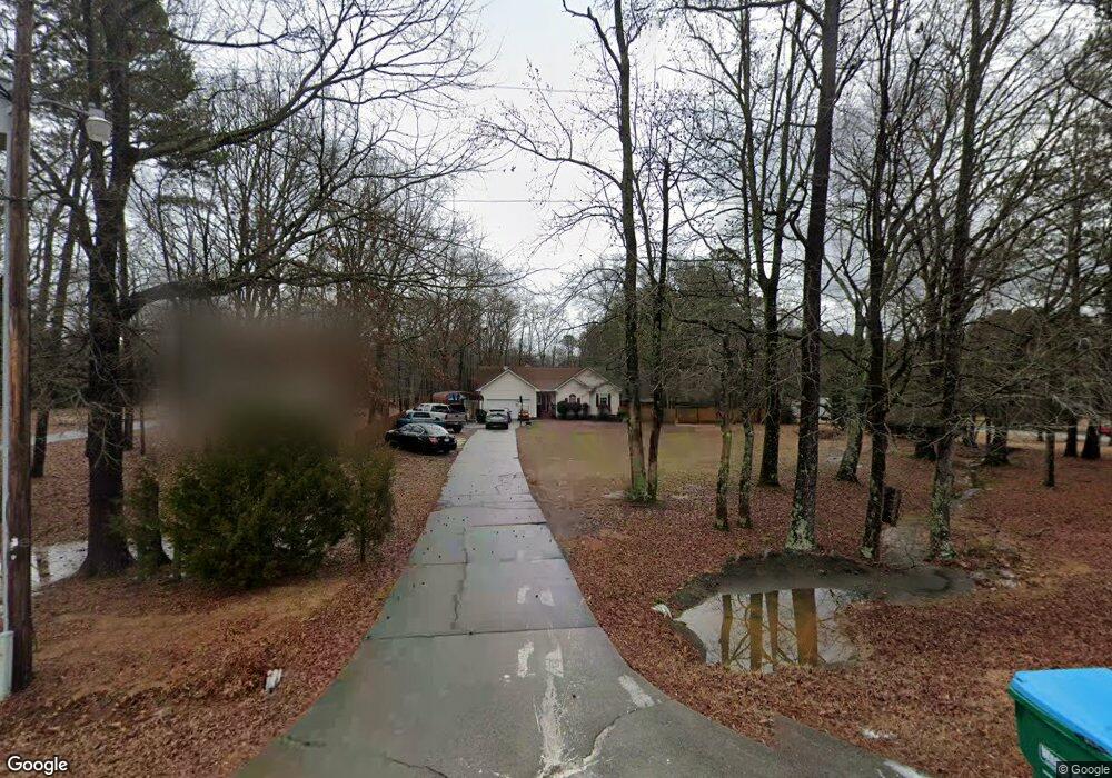
1816 Clarence Odum Rd Monroe, GA 30656
Estimated Value: $331,000 - $456,000
--
Bed
1
Bath
1,639
Sq Ft
$239/Sq Ft
Est. Value
About This Home
This home is located at 1816 Clarence Odum Rd, Monroe, GA 30656 and is currently estimated at $390,917, approximately $238 per square foot. 1816 Clarence Odum Rd is a home located in Walton County with nearby schools including Monroe Elementary School, Carver Middle School, and Monroe Area High School.
Ownership History
Date
Name
Owned For
Owner Type
Purchase Details
Closed on
Jun 26, 2000
Sold by
Sec Of Hud
Bought by
Brooks Michael
Current Estimated Value
Home Financials for this Owner
Home Financials are based on the most recent Mortgage that was taken out on this home.
Original Mortgage
$114,000
Outstanding Balance
$41,717
Interest Rate
8.55%
Mortgage Type
New Conventional
Estimated Equity
$349,200
Purchase Details
Closed on
May 4, 1999
Sold by
Homeside Lending Inc
Bought by
Hud
Create a Home Valuation Report for This Property
The Home Valuation Report is an in-depth analysis detailing your home's value as well as a comparison with similar homes in the area
Home Values in the Area
Average Home Value in this Area
Purchase History
| Date | Buyer | Sale Price | Title Company |
|---|---|---|---|
| Brooks Michael | -- | -- | |
| Hud | -- | -- | |
| Homeside Lending Inc | $132,256 | -- |
Source: Public Records
Mortgage History
| Date | Status | Borrower | Loan Amount |
|---|---|---|---|
| Open | Brooks Michael | $114,000 |
Source: Public Records
Tax History Compared to Growth
Tax History
| Year | Tax Paid | Tax Assessment Tax Assessment Total Assessment is a certain percentage of the fair market value that is determined by local assessors to be the total taxable value of land and additions on the property. | Land | Improvement |
|---|---|---|---|---|
| 2024 | $2,738 | $124,600 | $51,040 | $73,560 |
| 2023 | $2,241 | $117,440 | $48,400 | $69,040 |
| 2022 | $2,671 | $105,720 | $43,680 | $62,040 |
| 2021 | $2,286 | $83,120 | $33,920 | $49,200 |
| 2020 | $2,208 | $77,000 | $29,440 | $47,560 |
| 2019 | $2,090 | $69,880 | $26,160 | $43,720 |
| 2018 | $2,049 | $69,880 | $26,160 | $43,720 |
| 2017 | $2,366 | $68,680 | $26,160 | $42,520 |
| 2016 | $1,772 | $55,800 | $19,600 | $36,200 |
| 2015 | $1,778 | $54,720 | $20,240 | $34,480 |
| 2014 | $1,573 | $46,960 | $0 | $0 |
Source: Public Records
Map
Nearby Homes
- 906 John Stowe Rd
- 924 John Stowe Rd
- 918 John Stowe Rd
- 912 John Stowe Rd
- 2639 Daniel Cemetery Rd NW
- 94 Alcovy Springs Dr
- 166 Alcovy Springs Dr
- 100 Alcovy Springs Dr
- 2053 John Stowe Rd
- 2720 John Stowe Rd NW
- 1740 Gratis Rd
- 2321 Broach Rd NW
- 564 Belle Woode St
- 2796 Barbon Rd
- 553 Belle Woode St
- (GA)The Ellen | Front Entry Plan at Belle Woode Estates
- (GA)The Carson | Front Entry Plan at Belle Woode Estates
- (GA)The Everett | Front Entry Plan at Belle Woode Estates
- 500 Belle Woode St
- (GA)The Avondale | Front Entry Plan at Belle Woode Estates
- 1806 Clarence Odum Rd
- 2415 Daniel Cemetery Rd NW
- 2425 Daniel Cemetery Rd NW
- 2435 Daniel Cemetery Rd NW
- 1786 Clarence Odum Rd NW
- 1786 Clarence Odum Rd NW
- 1755 Clarence Odum Rd
- 2455 Daniel Cemetery Rd NW
- 2339 John Stowe Rd NW
- 1840 Clarence Odum Rd
- 1844 Clarence Odum Rd
- 930 John Stowe Rd
- 2430 Daniel Cemetery Rd NW
- 1846 Clarence Odum Rd
- 1773 Clarence Odum Rd NW
- 0 Daniel Cemetery Rd NW Unit LOT 2
- 2421 John Stowe Rd
- 2460 Daniel Cemetery Rd NW
- 2425 John Stowe Rd NW Unit 1
- 2565 Daniel Cemetery Rd NW