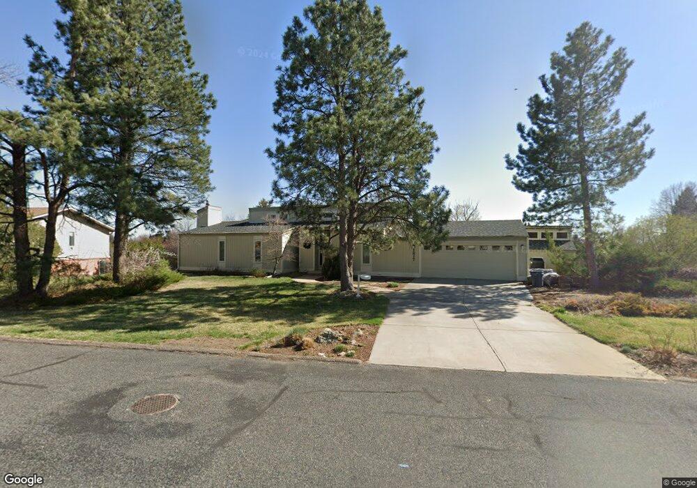
1817 Rangeview Dr Fort Collins, CO 80524
Estimated Value: $736,951 - $927,000
5
Beds
2
Baths
1,428
Sq Ft
$581/Sq Ft
Est. Value
About This Home
This home is located at 1817 Rangeview Dr, Fort Collins, CO 80524 and is currently estimated at $829,238, approximately $580 per square foot. 1817 Rangeview Dr is a home located in Larimer County with nearby schools including Tavelli Elementary School, Lincoln Middle School, and Poudre High School.
Ownership History
Date
Name
Owned For
Owner Type
Purchase Details
Closed on
Aug 29, 2002
Sold by
Cole Raymond E and Maslin Cole Christine
Bought by
Cole Raymond E and Maslin Cole Christine A
Current Estimated Value
Home Financials for this Owner
Home Financials are based on the most recent Mortgage that was taken out on this home.
Original Mortgage
$131,441
Interest Rate
5.8%
Purchase Details
Closed on
Mar 1, 1995
Sold by
Fetters Robert N
Bought by
Maslin-Cole Christine
Create a Home Valuation Report for This Property
The Home Valuation Report is an in-depth analysis detailing your home's value as well as a comparison with similar homes in the area
Purchase History
| Date | Buyer | Sale Price | Title Company |
|---|---|---|---|
| Cole Raymond E | -- | First American Heritage Titl | |
| Maslin-Cole Christine | $178,000 | -- |
Source: Public Records
Mortgage History
| Date | Status | Borrower | Loan Amount |
|---|---|---|---|
| Closed | Cole Raymond E | $131,441 |
Source: Public Records
Tax History
| Year | Tax Paid | Tax Assessment Tax Assessment Total Assessment is a certain percentage of the fair market value that is determined by local assessors to be the total taxable value of land and additions on the property. | Land | Improvement |
|---|---|---|---|---|
| 2025 | $4,098 | $46,563 | $4,063 | $42,500 |
| 2024 | $3,901 | $52,541 | $4,355 | $48,186 |
| 2022 | $3,070 | $39,108 | $4,518 | $34,590 |
| 2021 | $3,096 | $40,234 | $4,648 | $35,586 |
| 2020 | $2,315 | $31,675 | $4,648 | $27,027 |
| 2019 | $2,326 | $31,675 | $4,648 | $27,027 |
| 2018 | $1,986 | $28,800 | $4,680 | $24,120 |
| 2017 | $2,639 | $28,800 | $4,680 | $24,120 |
| 2016 | $2,683 | $29,134 | $5,174 | $23,960 |
| 2015 | $2,664 | $29,130 | $5,170 | $23,960 |
| 2014 | $2,122 | $23,060 | $5,170 | $17,890 |
Source: Public Records
Map
Nearby Homes
- 1920 Simsbury Ct
- 2102 Chesapeake Dr
- 2126 Friar Tuck Ct
- 2150 Sherwood Forest Ct
- 1924 Adriel Ct Unit 1924
- 1721 Cottonwood Point Dr
- 1400 Hillside Dr
- 2239 Muir Ln
- 2037 Adriel Dr Unit 24
- 2303 Sunbury Ln
- 1405 Wimbledon Ct
- 1308 Windjammer Cove
- 2415 Sunbury Ln
- 1123 Forest Hills Ln
- 2225 Middlebury Ln
- 1212 Clark St
- 2115 Lindenmeier Rd
- 2403 Thoreau Dr
- 936 Bramblebush St
- 0 Lorraine Dr
- 1809 Rangeview Dr
- 1831 Rangeview Dr
- 1816 Cannes Ct
- 1822 Rangeview Dr
- 1808 Cannes Ct
- 1832 Grenoble Ct
- 1812 Rangeview Dr
- 1833 Rangeview Dr
- 1824 Cannes Ct
- 1801 Rangeview Dr
- 1808 Nedrah Dr
- 1834 Rangeview Dr
- 1833 Grenoble Ct
- 1800 Rangeview Dr
- 1817 Cannes Ct
- 1821 Dayton Dr
- 1841 Grenoble Ct
- 1809 Cannes Ct
- 1908 Nedrah Dr
- 1835 Dayton Dr
Your Personal Tour Guide
Ask me questions while you tour the home.