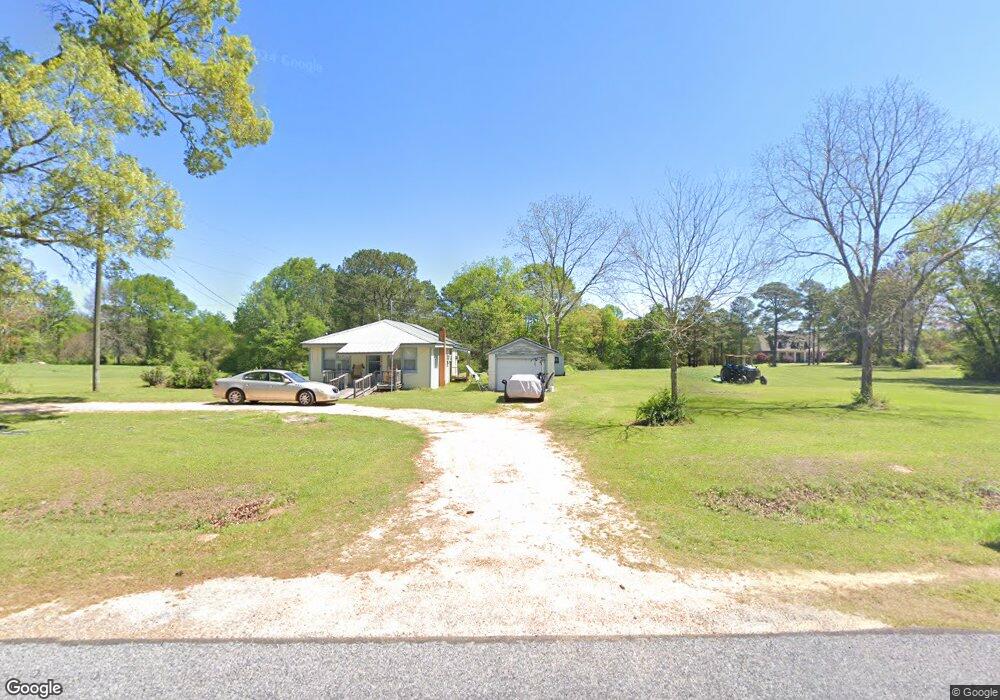
1817 Scr 51 Mount Olive, MS 39119
Estimated Value: $64,716 - $138,000
--
Bed
--
Bath
877
Sq Ft
$130/Sq Ft
Est. Value
About This Home
This home is located at 1817 Scr 51, Mount Olive, MS 39119 and is currently estimated at $113,572, approximately $129 per square foot. 1817 Scr 51 is a home with nearby schools including Mize Attendance Center.
Ownership History
Date
Name
Owned For
Owner Type
Purchase Details
Closed on
Mar 23, 2023
Sold by
Sorey Casey Kathy
Bought by
Casey Johb Mark
Current Estimated Value
Purchase Details
Closed on
May 18, 2021
Sold by
Eubanks Kathy A
Bought by
Eubanks Casey
Purchase Details
Closed on
May 10, 2021
Sold by
Eubanks Kathy A and Brown Melinda K
Bought by
Eubanks Kathy A
Purchase Details
Closed on
Jul 21, 2016
Sold by
Fairhild Vernell W
Bought by
Eubanks Kathy Ann F and Brown Melinda F
Create a Home Valuation Report for This Property
The Home Valuation Report is an in-depth analysis detailing your home's value as well as a comparison with similar homes in the area
Home Values in the Area
Average Home Value in this Area
Purchase History
| Date | Buyer | Sale Price | Title Company |
|---|---|---|---|
| Casey Johb Mark | -- | -- | |
| Casey Johb Mark | -- | None Listed On Document | |
| Eubanks Casey | -- | None Available | |
| Eubanks Casey | -- | None Listed On Document | |
| Eubanks Kathy A | -- | None Available | |
| Eubanks Kathy A | -- | None Listed On Document | |
| Brown Melinda K | -- | None Available | |
| Brown Melinda K | -- | None Listed On Document | |
| Eubanks Kathy Ann F | -- | Attorney |
Source: Public Records
Tax History Compared to Growth
Tax History
| Year | Tax Paid | Tax Assessment Tax Assessment Total Assessment is a certain percentage of the fair market value that is determined by local assessors to be the total taxable value of land and additions on the property. | Land | Improvement |
|---|---|---|---|---|
| 2024 | -- | $3,493 | $0 | $0 |
| 2023 | -- | $3,493 | $0 | $0 |
| 2022 | $0 | $3,494 | $0 | $0 |
| 2021 | $538 | $5,294 | $0 | $0 |
| 2020 | $538 | $3,377 | $0 | $0 |
| 2019 | $0 | $3,378 | $0 | $0 |
| 2018 | $0 | $3,381 | $0 | $0 |
| 2017 | $0 | $3,378 | $0 | $0 |
| 2016 | $0 | $3,127 | $0 | $0 |
| 2015 | -- | $3,122 | $0 | $0 |
| 2014 | -- | $3,118 | $0 | $0 |
Source: Public Records
Map
Nearby Homes
- 86 Pleasant Hill Rd
- XX Sullivan Rd
- 300 Acres + - Hwy 532
- 300 Acres Mississippi 532
- 948 Horseshoe Rd
- 33 Scr 50a1
- 100 S Main St
- 209 11th St
- 40 Acres Hwy 35
- 5413 U S 49
- 0 Highway 49 Unit 4120956
- 0 Simpson Highway 49 Unit 1327137
- 0 County Road 63
- 3803 Mississippi 28
- 55 Keys and Clark Rd
- 1138 Scr 18
- 747 Jaynesville Rd
- 0 Mississippi 35
- 40 +/- Acres Hwy 35
- 150 Pinetree Rd