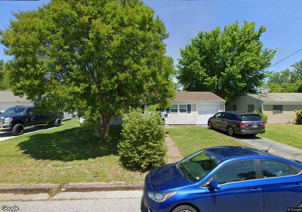
1817 Womack Dr Unit Driv Hampton, VA 23663
Buckroe Beach NeighborhoodEstimated Value: $224,000 - $235,000
3
Beds
1
Bath
912
Sq Ft
$252/Sq Ft
Est. Value
About This Home
This home is located at 1817 Womack Dr Unit Driv, Hampton, VA 23663 and is currently estimated at $229,472, approximately $251 per square foot. 1817 Womack Dr Unit Driv is a home located in Hampton City with nearby schools including Capt. John Smith Elementary School, Benjamin Syms Middle School, and Kecoughtan High School.
Ownership History
Date
Name
Owned For
Owner Type
Purchase Details
Closed on
Apr 8, 2020
Sold by
Butler Tracey L
Bought by
Pierce Brian Lee and Pierce Samantha Anne
Current Estimated Value
Home Financials for this Owner
Home Financials are based on the most recent Mortgage that was taken out on this home.
Original Mortgage
$141,391
Outstanding Balance
$124,583
Interest Rate
3.12%
Mortgage Type
FHA
Estimated Equity
$104,889
Purchase Details
Closed on
Oct 24, 1999
Sold by
Pack Martha V
Bought by
Butler Tracy L
Home Financials for this Owner
Home Financials are based on the most recent Mortgage that was taken out on this home.
Original Mortgage
$58,811
Interest Rate
7.76%
Create a Home Valuation Report for This Property
The Home Valuation Report is an in-depth analysis detailing your home's value as well as a comparison with similar homes in the area
Home Values in the Area
Average Home Value in this Area
Purchase History
| Date | Buyer | Sale Price | Title Company |
|---|---|---|---|
| Pierce Brian Lee | $144,000 | Lytle Title & Escrow Llc | |
| Butler Tracy L | $59,600 | -- |
Source: Public Records
Mortgage History
| Date | Status | Borrower | Loan Amount |
|---|---|---|---|
| Open | Pierce Brian Lee | $141,391 | |
| Previous Owner | Butler Tracy L | $58,811 |
Source: Public Records
Tax History
| Year | Tax Paid | Tax Assessment Tax Assessment Total Assessment is a certain percentage of the fair market value that is determined by local assessors to be the total taxable value of land and additions on the property. | Land | Improvement |
|---|---|---|---|---|
| 2025 | $2,584 | $223,400 | $55,000 | $168,400 |
| 2024 | $2,325 | $202,200 | $55,000 | $147,200 |
| 2023 | $2,346 | $202,200 | $55,000 | $147,200 |
| 2022 | $2,024 | $171,500 | $50,000 | $121,500 |
| 2021 | $1,995 | $150,400 | $42,000 | $108,400 |
| 2020 | $1,729 | $139,400 | $38,300 | $101,100 |
| 2019 | $1,304 | $105,200 | $38,300 | $66,900 |
| 2018 | $1,386 | $104,200 | $38,300 | $65,900 |
| 2017 | $1,386 | $0 | $0 | $0 |
| 2016 | $1,386 | $104,200 | $0 | $0 |
| 2015 | $1,386 | $0 | $0 | $0 |
| 2014 | $1,443 | $104,200 | $38,300 | $65,900 |
Source: Public Records
Map
Nearby Homes
- 1912 Beall Dr
- 385 Woodland Rd
- 1508 Garrow Cir
- 417 Woodland Rd
- 1358 Coral Place
- 2000 Beall Dr
- 1814 Somerville Dr
- 2007 Egger Cir
- 2101 Andrews Blvd
- 54 George Ct
- 1926 Somerville Dr
- 1845 Kensington Dr
- 1923 Rawood Dr
- 2013 Egger Cir
- 2020 Seward Dr
- 706 Grimes Rd
- 45 Glascow Way
- 21 Loch Cir
- 1909 Long Green Ln
- 350 Wrexham Ct
Your Personal Tour Guide
Ask me questions while you tour the home.