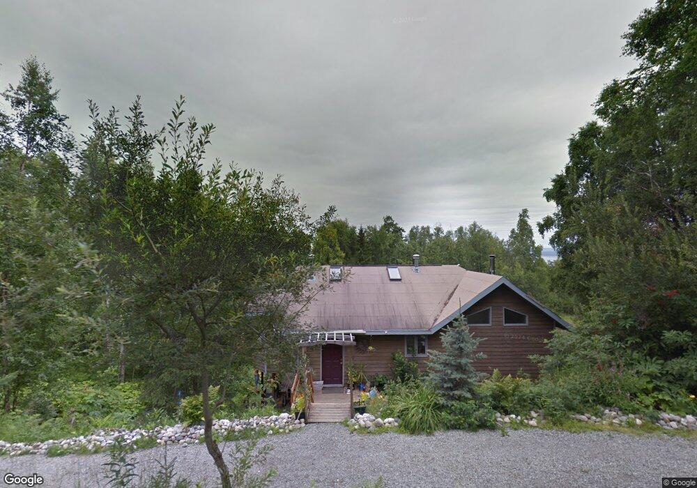
18170 Amonson Rd Chugiak, AK 99567
Chugiak NeighborhoodEstimated Value: $345,000 - $593,000
3
Beds
3
Baths
2,113
Sq Ft
$235/Sq Ft
Est. Value
About This Home
This home is located at 18170 Amonson Rd, Chugiak, AK 99567 and is currently estimated at $496,192, approximately $234 per square foot. 18170 Amonson Rd is a home located in Anchorage Municipality with nearby schools including Fire Lake Elementary School, Mirror Lake Middle School, and Chugiak High School.
Ownership History
Date
Name
Owned For
Owner Type
Purchase Details
Closed on
Apr 4, 2019
Sold by
Lennihan David D and Lynch Elizabeth A
Bought by
Lennihan Parker
Current Estimated Value
Home Financials for this Owner
Home Financials are based on the most recent Mortgage that was taken out on this home.
Original Mortgage
$260,000
Outstanding Balance
$226,706
Interest Rate
4.3%
Estimated Equity
$269,486
Purchase Details
Closed on
Apr 14, 2008
Sold by
Lennihan David D
Bought by
Lennihan David D and Lynch Elizabeth A
Home Financials for this Owner
Home Financials are based on the most recent Mortgage that was taken out on this home.
Original Mortgage
$184,000
Interest Rate
5.99%
Create a Home Valuation Report for This Property
The Home Valuation Report is an in-depth analysis detailing your home's value as well as a comparison with similar homes in the area
Home Values in the Area
Average Home Value in this Area
Purchase History
| Date | Buyer | Sale Price | Title Company |
|---|---|---|---|
| Lennihan Parker | -- | None Available | |
| Lennihan David D | -- | Fidelity Title Agency Of Ala |
Source: Public Records
Mortgage History
| Date | Status | Borrower | Loan Amount |
|---|---|---|---|
| Open | Lennihan Parker | $260,000 | |
| Previous Owner | Lennihan David D | $184,000 |
Source: Public Records
Tax History
| Year | Tax Paid | Tax Assessment Tax Assessment Total Assessment is a certain percentage of the fair market value that is determined by local assessors to be the total taxable value of land and additions on the property. | Land | Improvement |
|---|---|---|---|---|
| 2025 | $4,953 | $434,400 | $69,500 | $364,900 |
| 2024 | $4,953 | $411,700 | $62,600 | $349,100 |
| 2023 | $5,662 | $378,000 | $62,600 | $315,400 |
| 2022 | $5,006 | $381,500 | $65,000 | $316,500 |
| 2021 | $5,557 | $346,000 | $65,000 | $281,000 |
| 2020 | $5,423 | $361,500 | $65,000 | $296,500 |
| 2019 | $5,212 | $353,600 | $65,000 | $288,600 |
| 2018 | $5,026 | $342,400 | $65,000 | $277,400 |
| 2017 | $4,977 | $344,700 | $65,000 | $279,700 |
| 2016 | $4,271 | $342,600 | $63,300 | $279,300 |
| 2015 | $4,271 | $322,600 | $59,300 | $263,300 |
| 2014 | $4,271 | $314,600 | $53,700 | $260,900 |
Source: Public Records
Map
Nearby Homes
- 000 Midway Industrial Park
- 23082 Parks Creek Cir
- L1 Midway Industrial Park
- L2 Midway Industrial Park
- L5 Parks Creek Cir
- L6 Midway Industrial Park
- L6 Parks Creek Cir
- L10 Parks Crk Cir
- L4 Parks Creek Cir
- L3 Parks Creek Cir
- L12 Jasmine Rd
- 18610 Sue Tawn Dr
- 22710 Hunters Dr
- 19535 Spruce Crest Dr
- 19399 Klondike St
- 22179 Birchwood Loop Rd
- 16127 Old Glenn Hwy
- 22205 Old Glenn Hwy
- 16006 Division St
- 19903 Gilbert Rd
- 18149 Bending Birch Dr
- 18080 Amonson Rd
- 18368 Amonson Rd
- 18358 Amonson Rd
- 18128 Amonson Rd
- 18064 Amonson Rd
- 18114 Amonson Rd
- 18206 Amonson Rd
- 21837 Earl Ct
- 21837 Earl Ct
- 18045 Amonson Rd
- 18131 Bending Birch Dr
- 18221 Amonson Rd
- 21708 Robin Dr
- 18330 Amonson Rd
- 21535 Canyon Dr
- 21808 Robin Dr
- 21808 Robin Dr Unit B
- 21808 Robin Dr Unit 1 MIL APT
- 18220 Bending Birch Dr
Your Personal Tour Guide
Ask me questions while you tour the home.