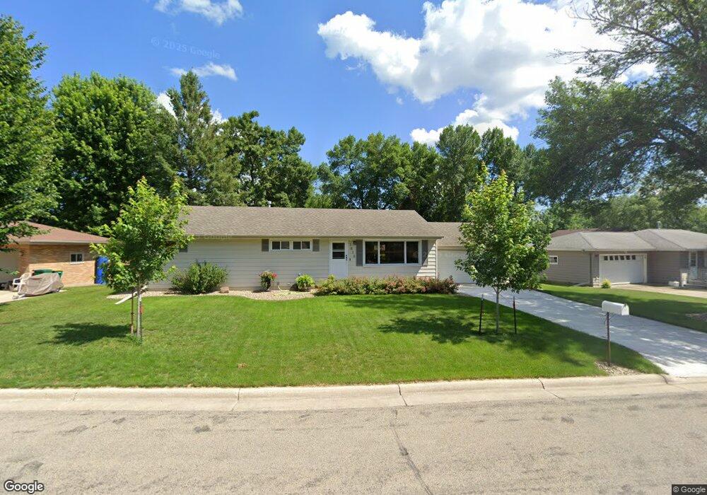
1818 Brookside Cir Albert Lea, MN 56007
Estimated Value: $227,000 - $235,000
3
Beds
2
Baths
1,964
Sq Ft
$118/Sq Ft
Est. Value
About This Home
This home is located at 1818 Brookside Cir, Albert Lea, MN 56007 and is currently estimated at $231,017, approximately $117 per square foot. 1818 Brookside Cir is a home located in Freeborn County with nearby schools including Lakeview Elementary School, Southwest Middle School, and Albert Lea Senior High School.
Ownership History
Date
Name
Owned For
Owner Type
Purchase Details
Closed on
Oct 23, 2015
Sold by
Rush Peter Peter
Bought by
Gold James James
Current Estimated Value
Home Financials for this Owner
Home Financials are based on the most recent Mortgage that was taken out on this home.
Original Mortgage
$137,000
Outstanding Balance
$107,460
Interest Rate
3.79%
Estimated Equity
$123,557
Purchase Details
Closed on
Nov 22, 2010
Sold by
John G John G and Ardolf Annette M
Bought by
Rush Peter A and Rush Elizabeth A
Create a Home Valuation Report for This Property
The Home Valuation Report is an in-depth analysis detailing your home's value as well as a comparison with similar homes in the area
Home Values in the Area
Average Home Value in this Area
Purchase History
| Date | Buyer | Sale Price | Title Company |
|---|---|---|---|
| Gold James James | $137,500 | -- | |
| Rush Peter A | -- | North American Title Company |
Source: Public Records
Mortgage History
| Date | Status | Borrower | Loan Amount |
|---|---|---|---|
| Open | Gold James James | $137,000 |
Source: Public Records
Tax History Compared to Growth
Tax History
| Year | Tax Paid | Tax Assessment Tax Assessment Total Assessment is a certain percentage of the fair market value that is determined by local assessors to be the total taxable value of land and additions on the property. | Land | Improvement |
|---|---|---|---|---|
| 2025 | $2,698 | $211,300 | $36,000 | $175,300 |
| 2024 | $2,832 | $181,300 | $36,000 | $145,300 |
| 2023 | $2,872 | $185,600 | $36,000 | $149,600 |
| 2022 | $2,740 | $187,900 | $27,500 | $160,400 |
| 2021 | $2,448 | $157,400 | $27,500 | $129,900 |
| 2020 | $2,452 | $140,400 | $25,400 | $115,000 |
| 2019 | $2,226 | $128,300 | $23,300 | $105,000 |
| 2018 | $1,856 | $0 | $0 | $0 |
| 2016 | $1,442 | $0 | $0 | $0 |
| 2015 | $1,930 | $0 | $0 | $0 |
| 2014 | $1,882 | $0 | $0 | $0 |
| 2012 | $1,848 | $0 | $0 | $0 |
Source: Public Records
Map
Nearby Homes
- 1850 Lakewood Ave Unit 4
- 314 Garden Rd
- 1932 Wilby Rd
- 120 Ridge Rd
- 210 North Ln
- 210 Lee Place
- 212 Lee Place
- 1428 Edgewater Dr
- 313 Glenn Rd
- 1609 Country Club Rd
- 319 Glenn Rd
- 1626 Keystone Dr
- 209 Burr Oak Dr
- 314 Burr Oak Dr
- 705 Glenview Dr
- 2161 Highland Ave
- 613 & 615 Giles Place
- 618 & 620 Giles Place
- 529 W Park Ln
- 902 Clausen Ave
- 1820 Brookside Cir
- 1816 Brookside Cir
- 1811 Brookside Dr
- 1815 Brookside Dr
- 1807 Brookside Dr
- 1814 Brookside Cir
- 1824 Brookside Cir
- 1819 Brookside Cir
- 1817 Brookside Cir
- 1821 Brookside Cir
- 1815 Brookside Cir
- 1806 Brookside Cir
- 1823 Brookside Cir
- 1813 Brookside Cir
- 1803 Brookside Dr
- 1814 Brookside Dr
- 1818 Brookside Dr
- 1822 Brookside Dr
- 1825 Brookside Cir
- 1811 Brookside Cir