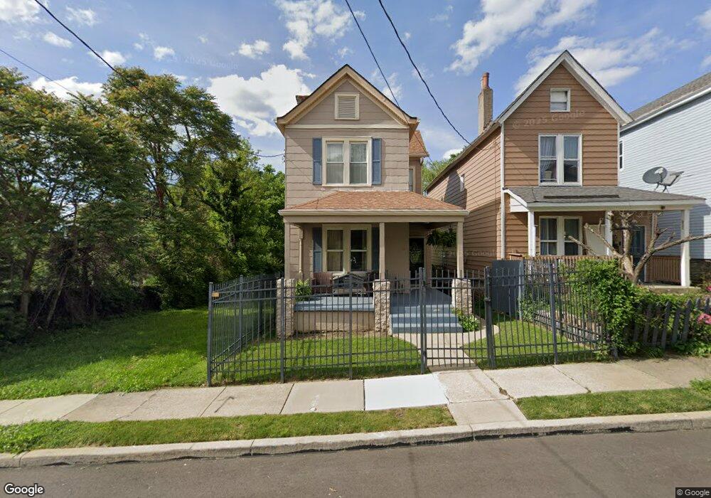
1818 Huron Ave Cincinnati, OH 45207
Evanston NeighborhoodEstimated Value: $175,706 - $240,000
3
Beds
1
Bath
1,522
Sq Ft
$131/Sq Ft
Est. Value
About This Home
This home is located at 1818 Huron Ave, Cincinnati, OH 45207 and is currently estimated at $198,927, approximately $130 per square foot. 1818 Huron Ave is a home located in Hamilton County with nearby schools including Evanston Academy Elementary School, Clark Montessori High School, and Robert A. Taft Information Technology High School.
Ownership History
Date
Name
Owned For
Owner Type
Purchase Details
Closed on
Apr 11, 2005
Sold by
Boston Gladys
Bought by
Atkisson Sandra
Current Estimated Value
Create a Home Valuation Report for This Property
The Home Valuation Report is an in-depth analysis detailing your home's value as well as a comparison with similar homes in the area
Home Values in the Area
Average Home Value in this Area
Purchase History
| Date | Buyer | Sale Price | Title Company |
|---|---|---|---|
| Atkisson Sandra | -- | None Available |
Source: Public Records
Tax History Compared to Growth
Tax History
| Year | Tax Paid | Tax Assessment Tax Assessment Total Assessment is a certain percentage of the fair market value that is determined by local assessors to be the total taxable value of land and additions on the property. | Land | Improvement |
|---|---|---|---|---|
| 2024 | $2,127 | $33,541 | $4,729 | $28,812 |
| 2023 | $2,131 | $33,541 | $4,729 | $28,812 |
| 2022 | $1,100 | $15,516 | $3,437 | $12,079 |
| 2021 | $1,080 | $15,516 | $3,437 | $12,079 |
| 2020 | $1,083 | $15,516 | $3,437 | $12,079 |
| 2019 | $1,090 | $14,235 | $3,154 | $11,081 |
| 2018 | $1,091 | $14,235 | $3,154 | $11,081 |
| 2017 | $1,051 | $14,235 | $3,154 | $11,081 |
| 2016 | $1,123 | $14,833 | $3,416 | $11,417 |
| 2015 | $1,004 | $14,833 | $3,416 | $11,417 |
| 2014 | $1,009 | $14,833 | $3,416 | $11,417 |
| 2013 | $1,047 | $15,138 | $3,486 | $11,652 |
Source: Public Records
Map
Nearby Homes
- 1747 Holloway Ave
- 3324 Spokane Ave
- 1739 Holloway Ave
- 3310 Fairfield Ave
- 1814 Hewitt Ave
- 1810 Hewitt Ave
- 3336 Graydon Ave
- 1820 Hewitt Ave
- 1736 Hewitt Ave
- 3331 Bonaparte Ave
- 3443 Montgomery Rd
- 3346 Bonaparte Ave
- 1609 Ruth Ave
- 1605 Ruth Ave
- 1853 Kinney Ave
- 1722 Fairfax Ave
- 1611 Grantwood Ave
- 3423 Bevis Ave
- 1627 Jonathan Ave
- 3427 Woodburn Ave
- 1820 Huron Ave
- 1816 Huron Ave
- 1822 Huron Ave
- 1824 Huron Ave
- 1830 Huron Ave
- 3339 Spokane Ave
- 1813 Huron Ave
- 1832 Huron Ave
- 1807 Huron Ave
- 1834 Huron Ave
- 3337 Spokane Ave
- 3346 Fairfield Ave
- 1838 Huron Ave
- 3335 Spokane Ave
- 3342 Fairfield Ave
- 1840 Huron Ave
- 3344 Spokane Ave
- 3333 Spokane Ave
- 1842 Huron Ave
- 3342 Spokane Ave