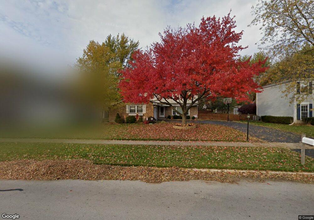
1819 Fairoak Rd Naperville, IL 60565
Signal Point NeighborhoodEstimated Value: $584,000 - $606,218
4
Beds
3
Baths
2,168
Sq Ft
$274/Sq Ft
Est. Value
About This Home
This home is located at 1819 Fairoak Rd, Naperville, IL 60565 and is currently estimated at $593,805, approximately $273 per square foot. 1819 Fairoak Rd is a home located in DuPage County with nearby schools including Scott Elementary School, Madison Jr High School, and Naperville Central High School.
Ownership History
Date
Name
Owned For
Owner Type
Purchase Details
Closed on
Dec 13, 2022
Sold by
Wrobel Michael S and Wrobel Terri S
Bought by
Wrobel Family Trust and Wrobel
Current Estimated Value
Purchase Details
Closed on
Nov 14, 2008
Sold by
Harkness Timothy D and Harkness Jonna M
Bought by
Wrobel Michael S and Wrobel Terri S
Home Financials for this Owner
Home Financials are based on the most recent Mortgage that was taken out on this home.
Original Mortgage
$249,600
Interest Rate
6.04%
Mortgage Type
Purchase Money Mortgage
Purchase Details
Closed on
Dec 20, 1993
Sold by
White George T and White Kathleen
Bought by
Harkness Timothy D and Griffis Jonna M
Home Financials for this Owner
Home Financials are based on the most recent Mortgage that was taken out on this home.
Original Mortgage
$153,000
Interest Rate
7.26%
Create a Home Valuation Report for This Property
The Home Valuation Report is an in-depth analysis detailing your home's value as well as a comparison with similar homes in the area
Home Values in the Area
Average Home Value in this Area
Purchase History
| Date | Buyer | Sale Price | Title Company |
|---|---|---|---|
| Wrobel Family Trust | -- | None Listed On Document | |
| Wrobel Michael S | $312,000 | First American Title Ins Co | |
| Harkness Timothy D | $192,000 | First American Title Insuran |
Source: Public Records
Mortgage History
| Date | Status | Borrower | Loan Amount |
|---|---|---|---|
| Previous Owner | Wrobel Michael S | $249,600 | |
| Previous Owner | Harkness Timothy D | $153,000 |
Source: Public Records
Tax History Compared to Growth
Tax History
| Year | Tax Paid | Tax Assessment Tax Assessment Total Assessment is a certain percentage of the fair market value that is determined by local assessors to be the total taxable value of land and additions on the property. | Land | Improvement |
|---|---|---|---|---|
| 2024 | $9,670 | $165,845 | $69,566 | $96,279 |
| 2023 | $9,315 | $151,360 | $63,490 | $87,870 |
| 2022 | $8,733 | $140,930 | $60,240 | $80,690 |
| 2021 | $8,412 | $135,600 | $57,960 | $77,640 |
| 2020 | $8,232 | $133,160 | $56,920 | $76,240 |
| 2019 | $7,991 | $127,400 | $54,460 | $72,940 |
| 2018 | $7,993 | $127,400 | $54,460 | $72,940 |
| 2017 | $7,728 | $123,100 | $52,620 | $70,480 |
| 2016 | $7,572 | $118,650 | $50,720 | $67,930 |
| 2015 | $7,521 | $111,730 | $47,760 | $63,970 |
| 2014 | $7,567 | $109,040 | $45,700 | $63,340 |
| 2013 | $7,454 | $107,930 | $45,810 | $62,120 |
Source: Public Records
Map
Nearby Homes
- 621 Bourbon Ct
- 456 Timber Trail Ct
- 1717 Drake Ct
- 517 Sheffield Rd
- 431 Orleans Ave
- 1340 Auburn Ave
- 1323 Auburn Ave
- 816 Spindletree Ave
- 158 E Bailey Rd Unit F
- 144 E Bailey Rd Unit L
- 805 Potomac Ave
- 138 E Bailey Rd Unit M
- 128 E Bailey Rd Unit G
- 336 Brooklea Ct
- 1449 Whitespire Ct Unit 5104
- 302 Carriage Hill Rd
- 705 Potomac Ave
- 2230 Keim Rd Unit 3B
- 1704 Kenyon Dr
- 1751 S Washington St Unit 1
- 1815 Fairoak Rd
- 1823 Fairoak Rd
- 1818 Deerpath Ct
- 1811 Fairoak Rd
- 1814 Deerpath Ct
- 1822 Deerpath Ct
- 1827 Fairoak Rd
- 1810 Deerpath Ct Unit 3
- 1807 Fairoak Rd
- 1826 Deerpath Ct
- 1831 Fairoak Rd
- 1808 Deerpath Ct
- 1832 Fairoak Rd
- 1803 Fairoak Rd
- 1835 Fairoak Rd
- 1828 Leabrook Ct
- 1813 Deerpath Ct
- 1827 Deerpath Ct
- 906 River Oak Dr
- 1817 Deerpath Ct