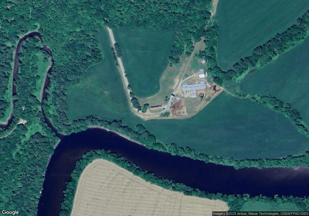
182 Olde Ferry Rd Starks, ME 04911
Estimated Value: $218,000 - $418,000
Studio
--
Bath
--
Sq Ft
5,575,680
Sq Ft Lot
About This Home
This home is located at 182 Olde Ferry Rd, Starks, ME 04911 and is currently estimated at $345,654. 182 Olde Ferry Rd is a home with nearby schools including Madison Area Memorial High School.
Create a Home Valuation Report for This Property
The Home Valuation Report is an in-depth analysis detailing your home's value as well as a comparison with similar homes in the area
Tax History
| Year | Tax Paid | Tax Assessment Tax Assessment Total Assessment is a certain percentage of the fair market value that is determined by local assessors to be the total taxable value of land and additions on the property. | Land | Improvement |
|---|---|---|---|---|
| 2024 | $4,761 | $330,650 | $66,720 | $263,930 |
| 2023 | $4,613 | $330,650 | $66,720 | $263,930 |
| 2022 | $4,084 | $321,590 | $57,660 | $263,930 |
| 2021 | $4,439 | $321,410 | $57,480 | $263,930 |
| 2020 | $5,079 | $322,480 | $58,550 | $263,930 |
| 2019 | $5,031 | $269,780 | $49,840 | $219,940 |
| 2018 | $4,748 | $269,780 | $49,840 | $219,940 |
| 2017 | $4,519 | $269,780 | $49,840 | $219,940 |
| 2016 | $4,225 | $216,690 | $40,740 | $175,950 |
Source: Public Records
Map
Nearby Homes
- Lot 2 Father Rasle Rd
- 6 Myrtle St
- 78 Fording Rd
- 83 Preble Ave
- 8 Preble Ave
- 88 Pine St
- 62 Old Point Ave
- M19 L57-58 Old Point Ave
- 12 Jones St
- 95 Main St
- 14 Old Point Ave
- 9 Heald St
- 13 Heald St
- 15 Garfield St
- 7 Bean St
- 735 Sandy River Rd
- 51 Maple St
- 1.3 Mayhew Rd
- map6 lot1 Mayhew Rd
- Map6 lot2 Mayhew Rd
Your Personal Tour Guide
Ask me questions while you tour the home.