182 Poverty Hill Rd Kittanning, PA 16201
Rayburn Township NeighborhoodEstimated Value: $227,000 - $301,409
3
Beds
3
Baths
1,664
Sq Ft
$155/Sq Ft
Est. Value
About This Home
This home is located at 182 Poverty Hill Rd, Kittanning, PA 16201 and is currently estimated at $257,102, approximately $154 per square foot. 182 Poverty Hill Rd is a home with nearby schools including West Hills Intermediate School, West Hills Primary School, and Faith Christian Academy.
Create a Home Valuation Report for This Property
The Home Valuation Report is an in-depth analysis detailing your home's value as well as a comparison with similar homes in the area
Home Values in the Area
Average Home Value in this Area
Tax History Compared to Growth
Tax History
| Year | Tax Paid | Tax Assessment Tax Assessment Total Assessment is a certain percentage of the fair market value that is determined by local assessors to be the total taxable value of land and additions on the property. | Land | Improvement |
|---|---|---|---|---|
| 2025 | $5,376 | $61,510 | $35,270 | $26,240 |
| 2024 | $5,068 | $61,510 | $35,270 | $26,240 |
| 2023 | $4,151 | $61,510 | $35,270 | $26,240 |
| 2022 | $4,151 | $61,510 | $35,270 | $26,240 |
| 2021 | $4,151 | $61,510 | $35,270 | $26,240 |
| 2020 | $4,151 | $61,510 | $35,270 | $26,240 |
| 2019 | $20,062 | $61,510 | $35,270 | $26,240 |
| 2018 | $4,096 | $50,380 | $12,890 | $37,490 |
| 2017 | $4,065 | $61,510 | $35,270 | $26,240 |
| 2016 | $4,065 | $61,510 | $35,270 | $26,240 |
| 2015 | $3,329 | $61,510 | $35,270 | $26,240 |
| 2014 | $3,329 | $61,510 | $35,270 | $26,240 |
Source: Public Records
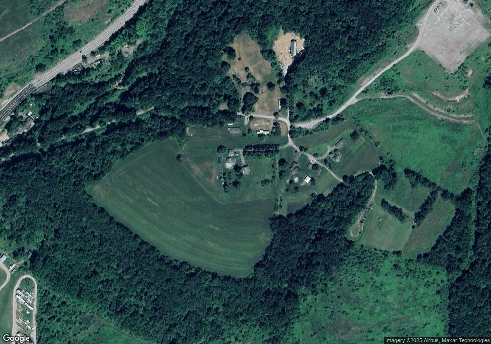
Map
Nearby Homes
- 142.19 Acs Along Elkin & Beck Roads
- 0 Cadogen Slatelick Unit 1702842
- 293 Troy Hill Rd
- 117 Red Mill Rd
- 119 6th St
- 166 Clearfield Pike
- 139 Oak Ave
- 176 Wray Plan Rd
- 435 1/2 Reesman Dr Unit 2
- 114 S Mckean St
- 143 N Grant Ave
- 136 Queen St
- 156 S Jefferson St
- 421 Red Mill Rd
- 614 Woodward Ave
- 414 North Ave
- 1017 Johnston Ave
- 422-424 Highland Ave
- 238 Allegheny Ave
- 509 N Jefferson St
- 168 Poverty Hill Rd
- 188 Poverty Hill Rd
- 191 Poverty Hill Rd
- 169 Poverty Hill Rd
- 390 State Route 28 and 66
- 366 State Route 28 and 66
- 380 State Route 28 and 66
- 370 State Route 28 and 66
- 364 State Route 28 and 66
- 117 Mcgregor Rd
- 151 Staleys Dr
- 11830 State Route 85
- 11818 State Route 85
- 11838 Pennsylvania 85
- 11802 State Route 85
- 11822 State Route 85
- 11814 Pennsylvania 85
- 11816 State Route 85
- 11930 State Route 85
- 11847 State Route 85