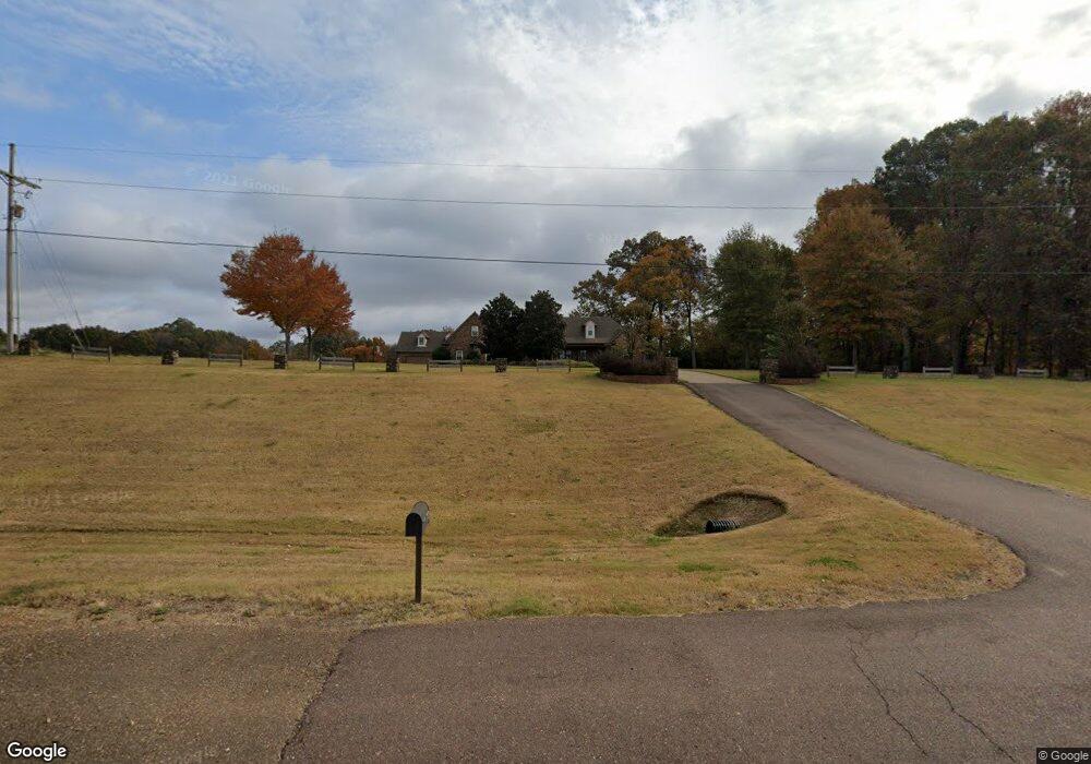
1820 Highway 301 N Lake Cormorant, MS 38641
Lake Cormorant NeighborhoodEstimated Value: $387,000 - $594,000
4
Beds
--
Bath
2,884
Sq Ft
$161/Sq Ft
Est. Value
About This Home
This home is located at 1820 Highway 301 N, Lake Cormorant, MS 38641 and is currently estimated at $464,391, approximately $161 per square foot. 1820 Highway 301 N is a home located in DeSoto County with nearby schools including Lake Cormorant Elementary School, Horn Lake Intermediate School, and Horn Lake Middle School.
Ownership History
Date
Name
Owned For
Owner Type
Purchase Details
Closed on
Oct 30, 2020
Sold by
Dunavant Tommy E and Dunavant Alana D
Bought by
Ali Brandon S and Fremin Stephanie P
Current Estimated Value
Home Financials for this Owner
Home Financials are based on the most recent Mortgage that was taken out on this home.
Original Mortgage
$389,500
Outstanding Balance
$346,600
Interest Rate
2.8%
Mortgage Type
New Conventional
Estimated Equity
$117,791
Create a Home Valuation Report for This Property
The Home Valuation Report is an in-depth analysis detailing your home's value as well as a comparison with similar homes in the area
Home Values in the Area
Average Home Value in this Area
Purchase History
| Date | Buyer | Sale Price | Title Company |
|---|---|---|---|
| Ali Brandon S | -- | Guardian Title Llc |
Source: Public Records
Mortgage History
| Date | Status | Borrower | Loan Amount |
|---|---|---|---|
| Open | Ali Brandon S | $389,500 |
Source: Public Records
Tax History Compared to Growth
Tax History
| Year | Tax Paid | Tax Assessment Tax Assessment Total Assessment is a certain percentage of the fair market value that is determined by local assessors to be the total taxable value of land and additions on the property. | Land | Improvement |
|---|---|---|---|---|
| 2024 | $1,865 | $21,655 | $1,830 | $19,825 |
| 2023 | $1,865 | $21,655 | $0 | $0 |
| 2022 | $1,865 | $21,655 | $1,830 | $19,825 |
| 2021 | $1,865 | $21,655 | $1,830 | $19,825 |
| 2020 | $1,706 | $20,062 | $1,830 | $18,232 |
| 2019 | $1,706 | $20,062 | $1,830 | $18,232 |
| 2017 | $1,557 | $35,044 | $18,437 | $16,607 |
| 2016 | $1,557 | $18,437 | $1,830 | $16,607 |
| 2015 | $1,857 | $35,044 | $18,437 | $16,607 |
| 2014 | $1,557 | $18,437 | $0 | $0 |
| 2013 | $1,616 | $18,437 | $0 | $0 |
Source: Public Records
Map
Nearby Homes
- 6193 Nesbit Rd
- 7508 Dean Rd
- 7455 Mississippi 301
- 5450 Dean Rd
- 7 Dean Rd
- 6 Hazelwood Dr
- 7 Hazelwood Dr
- 8 Dean Rd
- 7643 Dean Rd
- 22 Hazelwood Dr
- 14 Hazelwood Dr
- 26 Hazelwood Dr
- 24 Riverwood Cove N
- 20 Hazelwood Dr
- 29 Hazelwood Dr
- 30 Hazelwood Dr
- 25 Riverwood Cove N
- 23 Hazelwood Dr
- 21 Hazelwood Dr
- 786 Hazelwood Dr
- 1820 Old Hwy 301
- 1788 Highway 301 N
- 1664 N Hwy Unit 301
- 1801 Highway 301 N
- 1787 Highway 301 N
- 1793 Highway 301
- 1809 Highway 301 N
- 2 Ms-301
- 1754 Highway 301 N
- 1628 Highway Unit 301
- 6315 Nesbit Rd
- 1960 Highway 301 N
- 3 Ms-301
- 6415 Nesbit Rd
- 1817 Highway 301 N
- 6341 Nesbit Rd
- 1656 Highway Unit 301
- 1662 Highway 301 N
- 1761 Highway 301 N
- 6349 Nesbit Rd