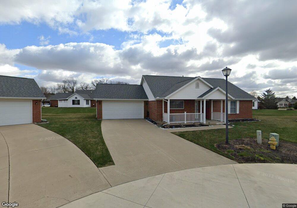
1820 Saint Andrews Ct Springfield, OH 45502
Estimated Value: $249,000 - $266,000
2
Beds
2
Baths
1,625
Sq Ft
$160/Sq Ft
Est. Value
About This Home
This home is located at 1820 Saint Andrews Ct, Springfield, OH 45502 and is currently estimated at $260,440, approximately $160 per square foot. 1820 Saint Andrews Ct is a home located in Clark County with nearby schools including Rolling Hills Elementary School, Northridge Middle School, and Kenton Ridge Middle & High School.
Ownership History
Date
Name
Owned For
Owner Type
Purchase Details
Closed on
Aug 2, 2019
Sold by
Wade R Buck
Bought by
Rogers Timothy M and Rogers Lori Ann
Current Estimated Value
Home Financials for this Owner
Home Financials are based on the most recent Mortgage that was taken out on this home.
Original Mortgage
$131,920
Outstanding Balance
$87,025
Interest Rate
3.7%
Mortgage Type
New Conventional
Estimated Equity
$173,415
Purchase Details
Closed on
Jun 30, 2015
Sold by
Pinti James S and Pinti Mark A
Bought by
Wade R Buck
Home Financials for this Owner
Home Financials are based on the most recent Mortgage that was taken out on this home.
Original Mortgage
$96,800
Interest Rate
3.83%
Mortgage Type
New Conventional
Purchase Details
Closed on
Jul 31, 2002
Sold by
Wrenwood Development Corp
Bought by
Pinti James S and Pinti Mark A
Home Financials for this Owner
Home Financials are based on the most recent Mortgage that was taken out on this home.
Original Mortgage
$40,300
Interest Rate
6.56%
Create a Home Valuation Report for This Property
The Home Valuation Report is an in-depth analysis detailing your home's value as well as a comparison with similar homes in the area
Home Values in the Area
Average Home Value in this Area
Purchase History
| Date | Buyer | Sale Price | Title Company |
|---|---|---|---|
| Rogers Timothy M | $164,900 | Vantage Land Title | |
| Wade R Buck | $121,000 | Team Title & Closing Svcs | |
| Pinti James S | $127,100 | -- |
Source: Public Records
Mortgage History
| Date | Status | Borrower | Loan Amount |
|---|---|---|---|
| Open | Rogers Timothy M | $131,920 | |
| Previous Owner | Wade R Buck | $96,800 | |
| Previous Owner | Pinti James S | $40,300 |
Source: Public Records
Tax History Compared to Growth
Tax History
| Year | Tax Paid | Tax Assessment Tax Assessment Total Assessment is a certain percentage of the fair market value that is determined by local assessors to be the total taxable value of land and additions on the property. | Land | Improvement |
|---|---|---|---|---|
| 2024 | $2,588 | $63,140 | $10,850 | $52,290 |
| 2023 | $2,588 | $63,140 | $10,850 | $52,290 |
| 2022 | $2,597 | $63,140 | $10,850 | $52,290 |
| 2021 | $2,372 | $49,480 | $8,750 | $40,730 |
| 2020 | $2,375 | $49,480 | $8,750 | $40,730 |
| 2019 | $2,422 | $49,480 | $8,750 | $40,730 |
| 2018 | $2,335 | $46,120 | $8,750 | $37,370 |
| 2017 | $1,985 | $47,681 | $8,750 | $38,931 |
| 2016 | $1,970 | $47,681 | $8,750 | $38,931 |
| 2015 | $2,071 | $47,681 | $8,750 | $38,931 |
| 2014 | $2,071 | $47,681 | $8,750 | $38,931 |
| 2013 | $1,033 | $47,681 | $8,750 | $38,931 |
Source: Public Records
Map
Nearby Homes
- 1781 Pinehurst Dr
- 3500 Oakmont Ct
- 1507 Kingsgate Rd
- 1505 Kingsgate Rd
- 1503 Kingsgate Rd
- 1501 Kingsgate Rd
- 1509 Kingsgate Rd
- 3631 Kingsgate Ln
- 4050 Tacoma St
- 1640 Montego Dr
- 3963 Covington Dr Unit 3963
- 1922 Wedgewood Cir
- 4249 Reno Rd
- 2022 Westboro Ave
- 1162 Kingsgate Rd
- 4316 Phoenix Dr
- 1148 Foxboro Rd
- 4321 Tulane Rd
- 3316 Sudbury St
- 1820 Saint Andrews Ct Unit 32
- 1820 Saint Andrews Ct
- 1821 Saint Andrews Ct Unit 31
- 1871 Pinehurst Dr Unit 39
- 1810 Saint Andrews Ct Unit 33
- 1810 Saint Andrews Ct
- 1861 Pinehurst Dr Unit 38
- 1861 Pinehurst Dr
- 1881 Pinehurst Dr Unit 40
- 1800 Saint Andrews Ct Unit 34
- 1811 Saint Andrews Ct Unit 30
- 1811 Saint Andrews Ct
- 1831 Pinehurst Dr Unit 37
- 1821 Pinehurst Dr
- 1870 Pinehurst Dr Unit 2
- 1801 Saint Andrews Ct
- 1880 Pinehurst Dr Unit 1
- 1860 Pinehurst Dr
- 1850 Pinehurst Dr Unit 4
- 1791 Saint Andrews Ct Unit 28