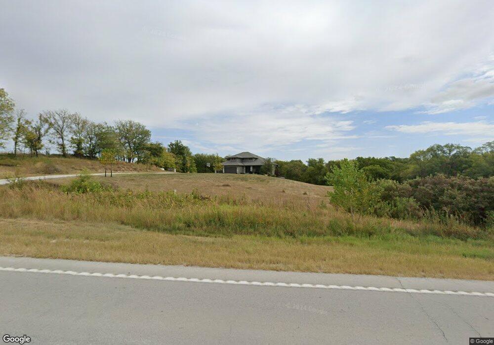
18219 S Highway 31 Gretna, NE 68028
Estimated Value: $530,000 - $919,000
4
Beds
3
Baths
3,106
Sq Ft
$235/Sq Ft
Est. Value
About This Home
This home is located at 18219 S Highway 31, Gretna, NE 68028 and is currently estimated at $728,883, approximately $234 per square foot. 18219 S Highway 31 is a home with nearby schools including Squire John Thomas Elementary School, Gretna Middle School, and Gretna High School.
Ownership History
Date
Name
Owned For
Owner Type
Purchase Details
Closed on
Jun 26, 2017
Sold by
Cross Canyon Properties Llc
Bought by
Lightle Travis and Lightle Melissa
Current Estimated Value
Purchase Details
Closed on
Mar 16, 2016
Sold by
Wiltech Properties Llc
Bought by
Cross Canyon Properties Llc
Purchase Details
Closed on
Dec 15, 2009
Sold by
Whitmore Marcia and D June Johnson Revocable Trust
Bought by
Mattes Dennis D and Mattes Karen M
Create a Home Valuation Report for This Property
The Home Valuation Report is an in-depth analysis detailing your home's value as well as a comparison with similar homes in the area
Home Values in the Area
Average Home Value in this Area
Purchase History
| Date | Buyer | Sale Price | Title Company |
|---|---|---|---|
| Lightle Travis | -- | None Available | |
| Cross Canyon Properties Llc | $80,000 | Core Bank Title & Escrow | |
| Mattes Dennis D | $49,000 | Dakota Title & Escrow Co |
Source: Public Records
Tax History Compared to Growth
Tax History
| Year | Tax Paid | Tax Assessment Tax Assessment Total Assessment is a certain percentage of the fair market value that is determined by local assessors to be the total taxable value of land and additions on the property. | Land | Improvement |
|---|---|---|---|---|
| 2025 | $9,879 | $711,351 | $138,570 | $572,781 |
| 2024 | $10,558 | $662,782 | $123,953 | $538,829 |
| 2023 | $10,558 | $573,566 | $110,525 | $463,041 |
| 2022 | $9,346 | $499,838 | $109,575 | $390,263 |
| 2021 | $8,551 | $466,720 | $115,297 | $351,423 |
| 2020 | $8,493 | $466,371 | $102,497 | $363,874 |
| 2019 | $8,451 | $465,418 | $86,465 | $378,953 |
| 2018 | $5,202 | $288,484 | $74,398 | $214,086 |
| 2017 | $1,268 | $70,159 | $70,159 | $0 |
| 2016 | $278 | $15,473 | $15,473 | $0 |
| 2015 | $254 | $14,245 | $14,245 | $0 |
| 2014 | $188 | $10,669 | $10,669 | $0 |
| 2012 | -- | $9,160 | $9,160 | $0 |
Source: Public Records
Map
Nearby Homes
- 18811 Oak Ln
- 22756 Dune Ct
- 22755 Dune Ct
- 22653 Dune Ct
- 16677 S 222nd Plaza
- 16555 S 222nd Plaza
- 16575 S 226th Plaza
- 16525 S 226th Plaza
- 16522 S 226th Plaza
- 16651 S 226th Plaza
- 204 Pawnee Cir
- 102 Oak Ln
- 20304 W Hwy 31
- 864 Whitetail Run Cir
- 21804 Hackberry Dr
- Albany Plan at Gruenther Ridge
- Lansing Plan at Gruenther Ridge
- Madison Plan at Gruenther Ridge
- Lincoln Plan at Gruenther Ridge
- Harrisburg Plan at Gruenther Ridge
- 18501 S Highway 31
- 21406 Buffalo Rd
- 21712 Armburst Ln
- 17603 S Highway 31
- 18803 Oak Ln
- 21405 Buffalo Rd
- 21402 Ash Cir
- 21295 Ruff Rd
- 18806 Walnut Dr
- 18805 Walnut Dr
- 18805 Walnut Dr
- 18808 Oak Ln
- 21401 Ash Cir
- 18810 Walnut Dr
- 21405 Ash Cir
- 18813 Walnut Dr
- 18806 Oak Ln
- 18816 Oak Ln
- 18814 Walnut Dr
- 21450 Ruff Rd