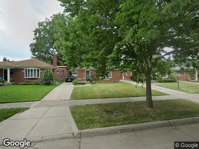
1823 Prestwick Rd Grosse Pointe Woods, MI 48236
Estimated Value: $239,000 - $260,000
3
Beds
2
Baths
1,148
Sq Ft
$217/Sq Ft
Est. Value
About This Home
This home is located at 1823 Prestwick Rd, Grosse Pointe Woods, MI 48236 and is currently estimated at $249,544, approximately $217 per square foot. 1823 Prestwick Rd is a home located in Wayne County with nearby schools including John Monteith Elementary School, Brownell Middle School, and Grosse Pointe North High School.
Ownership History
Date
Name
Owned For
Owner Type
Purchase Details
Closed on
Apr 26, 2022
Sold by
Hurd Nicole J
Bought by
Hurd Victor F
Current Estimated Value
Purchase Details
Closed on
Jun 20, 2000
Sold by
Deyonker Dawn E
Bought by
Hurd Nicole J
Purchase Details
Closed on
May 1, 1995
Sold by
Kathryn U Kirby Trust
Bought by
Leo G and Deyonker Dawn E
Create a Home Valuation Report for This Property
The Home Valuation Report is an in-depth analysis detailing your home's value as well as a comparison with similar homes in the area
Home Values in the Area
Average Home Value in this Area
Purchase History
| Date | Buyer | Sale Price | Title Company |
|---|---|---|---|
| Hurd Victor F | -- | None Listed On Document | |
| Hurd Nicole J | $165,000 | -- | |
| Leo G | $111,000 | -- |
Source: Public Records
Mortgage History
| Date | Status | Borrower | Loan Amount |
|---|---|---|---|
| Previous Owner | Hurd Nicole J | $124,800 | |
| Previous Owner | Hurd Nicole J | $100,000 | |
| Previous Owner | Hurd Nicole J | $75,000 |
Source: Public Records
Tax History Compared to Growth
Tax History
| Year | Tax Paid | Tax Assessment Tax Assessment Total Assessment is a certain percentage of the fair market value that is determined by local assessors to be the total taxable value of land and additions on the property. | Land | Improvement |
|---|---|---|---|---|
| 2024 | $2,090 | $117,600 | $0 | $0 |
| 2023 | $2,010 | $104,700 | $0 | $0 |
| 2022 | $3,148 | $95,700 | $0 | $0 |
| 2021 | $3,000 | $83,600 | $0 | $0 |
| 2020 | $3,090 | $80,500 | $0 | $0 |
| 2019 | $1,829 | $72,100 | $0 | $0 |
| 2018 | $1,798 | $69,100 | $0 | $0 |
| 2017 | $2,089 | $63,900 | $0 | $0 |
| 2016 | $2,848 | $62,600 | $0 | $0 |
| 2015 | $4,937 | $56,500 | $0 | $0 |
| 2013 | $4,770 | $48,600 | $0 | $0 |
| 2012 | -- | $49,200 | $16,100 | $33,100 |
Source: Public Records
Map
Nearby Homes
- 1855 Prestwick Rd
- 1878 Prestwick Rd
- 19299 Raymond St
- 19280 Berden St
- 19218 Eastborne St
- 21519 Sloan Dr
- 21421 Bournemouth St
- 21719 Moross Rd
- 21327 Prestwick Ave
- 21746 Moross Rd
- 21306 Brierstone St
- 21225 Bournemouth St
- 19266 Tyrone St
- 19131 Chester St
- 2071 Stanhope St
- 5921 Hillcrest St
- 484 Bournemouth Cir
- 1873 Manchester Blvd
- 19162 Tyrone St
- 1898 Manchester Blvd
- 1823 Prestwick Rd
- 1815 Prestwick Rd
- 1831 Prestwick Rd
- 1807 Prestwick Rd
- 1839 Prestwick Rd
- 1830 Newcastle Rd
- 1838 Newcastle Rd
- 1822 Newcastle Rd
- 1799 Prestwick Rd
- 1847 Prestwick Rd
- 1846 Newcastle Rd
- 1814 Newcastle Rd
- 1822 Prestwick Rd
- 1854 Newcastle Rd
- 1789 Prestwick Rd
- 1806 Newcastle Rd
- 1862 Newcastle Rd
- 1830 Prestwick Rd
- 1798 Newcastle Rd
- 1781 Prestwick Rd