Estimated Value: $531,000 - $906,000
2
Beds
1
Bath
1,123
Sq Ft
$617/Sq Ft
Est. Value
About This Home
This home is located at 1823 Railroad Ave, Rifle, CO 81650 and is currently estimated at $693,215, approximately $617 per square foot. 1823 Railroad Ave is a home located in Garfield County with nearby schools including Graham Mesa Elementary School, Rifle Middle School, and Rifle High School.
Ownership History
Date
Name
Owned For
Owner Type
Purchase Details
Closed on
Nov 4, 2015
Sold by
Brynildson Holdings Llc
Bought by
B & B Plumbing Holdings Llc
Current Estimated Value
Purchase Details
Closed on
Oct 1, 2002
Sold by
Brynildson Scott W and Brynildson Linda S
Bought by
Mccowan Sarah B
Home Financials for this Owner
Home Financials are based on the most recent Mortgage that was taken out on this home.
Original Mortgage
$302,000
Interest Rate
8.5%
Mortgage Type
Seller Take Back
Create a Home Valuation Report for This Property
The Home Valuation Report is an in-depth analysis detailing your home's value as well as a comparison with similar homes in the area
Home Values in the Area
Average Home Value in this Area
Purchase History
| Date | Buyer | Sale Price | Title Company |
|---|---|---|---|
| B & B Plumbing Holdings Llc | -- | None Available | |
| Mccowan Sarah B | $377,000 | -- |
Source: Public Records
Mortgage History
| Date | Status | Borrower | Loan Amount |
|---|---|---|---|
| Previous Owner | Mccowan Sarah B | $302,000 |
Source: Public Records
Tax History Compared to Growth
Tax History
| Year | Tax Paid | Tax Assessment Tax Assessment Total Assessment is a certain percentage of the fair market value that is determined by local assessors to be the total taxable value of land and additions on the property. | Land | Improvement |
|---|---|---|---|---|
| 2024 | $5,735 | $75,220 | $54,630 | $20,590 |
| 2023 | $5,735 | $75,220 | $54,630 | $20,590 |
| 2022 | $6,417 | $89,620 | $59,650 | $29,970 |
| 2021 | $7,232 | $90,460 | $59,980 | $30,480 |
| 2020 | $6,619 | $90,490 | $59,980 | $30,510 |
| 2019 | $6,264 | $90,490 | $59,980 | $30,510 |
| 2018 | $7,325 | $103,450 | $78,350 | $25,100 |
| 2017 | $6,619 | $103,450 | $78,350 | $25,100 |
| 2016 | $5,982 | $105,850 | $85,330 | $20,520 |
| 2015 | $5,523 | $105,850 | $85,330 | $20,520 |
| 2014 | $4,012 | $76,330 | $55,180 | $21,150 |
Source: Public Records
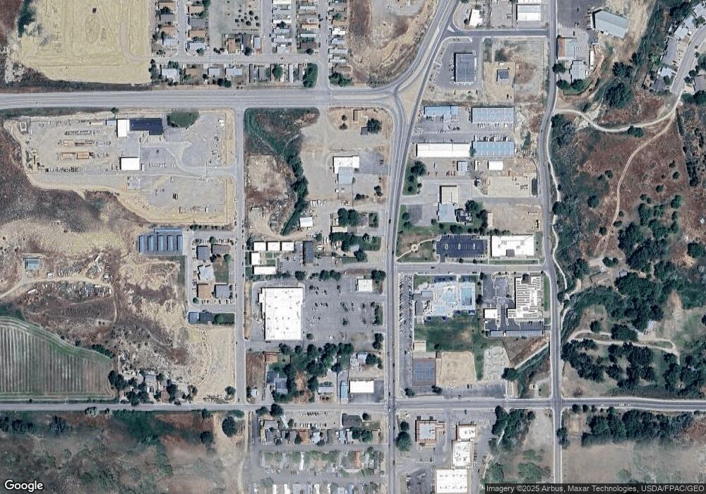
Map
Nearby Homes
- 200 W 20th St Unit A142
- 200 W 20th St Unit E5
- 200 W 20th St Unit A24
- 200 W 20th St Unit E6
- 200 W 20th St Unit A128
- 200 W 20th St Unit A145
- 200 W 20th St Unit A139
- 200 W 20th St Unit E4
- 200 W 20th St Unit D20
- 1501 Railroad Ave Unit 37
- 420 W 16th St
- Tbd 14th St
- 154 Cowboy Dr
- 188 Cowboy Dr
- 282 Cowboy Dr
- 212 Cowboy Dr
- 132 Cowboy Dr
- 176 Cowboy Dr
- 100 Cowboy Dr
- 224 Cowboy Dr
- 0 E 18th St Unit 1129549
- 1733 Railroad Ave
- TBD Howard Ave
- TBD #2 Howard Ave
- TBD #1 Howard Ave
- 467 297 County Rd
- 1701 Howard Ave
- not assign County Rd 259
- 1631 Railroad Ave
- 216 W 16th St
- Tbd Colorado 13
- 0 Colorado 13
- 230 W 16th St
- TBD Railroad Ave Unit Lots 23 - 31
- TBD Railroad Ave
- 200 W 20th St Unit D5
- 200 W 20th St Unit D22
- 200 W 20th St Unit A37
- 200 W 20th St Unit Space A51