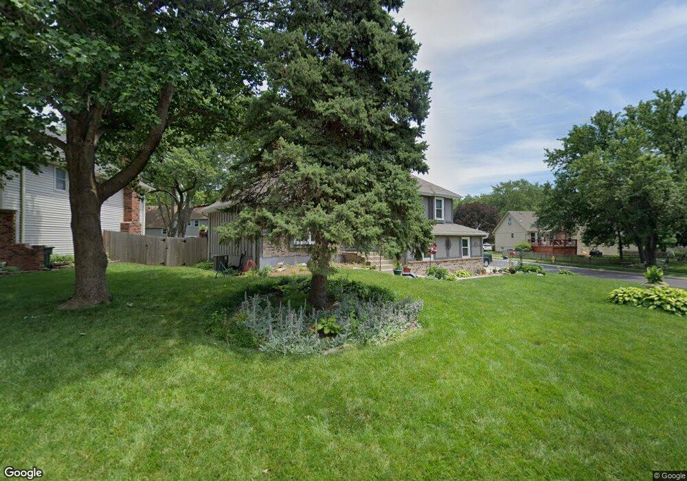
1824 S Kiowa Ct Olathe, KS 66062
Estimated Value: $330,000 - $371,000
4
Beds
3
Baths
1,176
Sq Ft
$295/Sq Ft
Est. Value
About This Home
This home is located at 1824 S Kiowa Ct, Olathe, KS 66062 and is currently estimated at $347,051, approximately $295 per square foot. 1824 S Kiowa Ct is a home located in Johnson County with nearby schools including Scarborough Elementary School, Indian Trail Middle School, and Olathe South Sr High School.
Ownership History
Date
Name
Owned For
Owner Type
Purchase Details
Closed on
Mar 31, 2015
Sold by
Grimes Darin D
Bought by
Goss Deborah A and Goss Bradley D
Current Estimated Value
Home Financials for this Owner
Home Financials are based on the most recent Mortgage that was taken out on this home.
Original Mortgage
$158,272
Outstanding Balance
$124,058
Interest Rate
4.25%
Mortgage Type
FHA
Estimated Equity
$222,993
Create a Home Valuation Report for This Property
The Home Valuation Report is an in-depth analysis detailing your home's value as well as a comparison with similar homes in the area
Home Values in the Area
Average Home Value in this Area
Purchase History
| Date | Buyer | Sale Price | Title Company |
|---|---|---|---|
| Goss Deborah A | -- | None Available |
Source: Public Records
Mortgage History
| Date | Status | Borrower | Loan Amount |
|---|---|---|---|
| Open | Goss Deborah A | $158,272 |
Source: Public Records
Tax History Compared to Growth
Tax History
| Year | Tax Paid | Tax Assessment Tax Assessment Total Assessment is a certain percentage of the fair market value that is determined by local assessors to be the total taxable value of land and additions on the property. | Land | Improvement |
|---|---|---|---|---|
| 2024 | $3,972 | $35,592 | $6,709 | $28,883 |
| 2023 | $3,673 | $32,212 | $6,102 | $26,110 |
| 2022 | $3,496 | $29,819 | $5,307 | $24,512 |
| 2021 | $3,417 | $27,703 | $5,307 | $22,396 |
| 2020 | $3,220 | $25,887 | $4,822 | $21,065 |
| 2019 | $3,004 | $24,012 | $4,820 | $19,192 |
| 2018 | $2,888 | $22,931 | $4,823 | $18,108 |
| 2017 | $2,687 | $21,137 | $4,015 | $17,122 |
| 2016 | $2,358 | $19,056 | $4,015 | $15,041 |
| 2015 | $2,238 | $18,112 | $3,345 | $14,767 |
| 2013 | -- | $16,192 | $3,345 | $12,847 |
Source: Public Records
Map
Nearby Homes
- 1836 E 152nd Cir
- 1836 E 153rd Cir
- 2027 E Mohawk Ct
- 1904 S Lindenwood Dr
- 2157 E 154th St
- 1625 E 153rd St
- 1820 E Pawnee Dr
- 1412 S Pawnee Dr
- 15600 S Apache Cir
- 15129 S Locust St
- 14831 S Homestead Dr
- 1411 E 153rd Terrace
- 1917 E Osage Cir
- 2008 E Cherokee Place
- 2004 E Cherokee Place
- 16618 W 147th Terrace
- 2101 E Jamestown Dr
- 1411 E 155th St
- 1916 E Frontier Ln
- 1317 E 154th St
- 1820 S Kiowa Ct
- 1841 S Scarborough St
- 1816 S Kiowa Ct
- 1837 S Scarborough St
- 2009 E 152nd St
- 1901 S Scarborough St
- 1831 S Kiowa Ct
- 1827 S Kiowa Ct
- 2005 E 152nd St
- 1833 S Scarborough St
- 1823 S Kiowa Ct
- 1905 S Scarborough St
- 1812 S Kiowa Ct
- 2001 E 152nd St
- 1819 S Kiowa Ct
- 1829 S Scarborough St
- 2101 E 152nd St
- 1826 S Arrowhead Dr
- 1909 S Scarborough St
- 2100 E 152nd Terrace