18241 Madrone St Adelanto, CA 92301
Estimated Value: $412,000 - $526,000
--
Bed
4
Baths
33,600
Sq Ft
$14/Sq Ft
Est. Value
About This Home
This home is located at 18241 Madrone St, Adelanto, CA 92301 and is currently estimated at $473,333, approximately $14 per square foot. 18241 Madrone St is a home located in San Bernardino County with nearby schools including Westside Park Elementary School, Adelanto High School, and Taylion High Desert Academy.
Ownership History
Date
Name
Owned For
Owner Type
Purchase Details
Closed on
Jan 3, 2001
Sold by
Adelanto Redevelopment Agency
Bought by
Adelanto Affordable Housing
Current Estimated Value
Home Financials for this Owner
Home Financials are based on the most recent Mortgage that was taken out on this home.
Original Mortgage
$40,000
Outstanding Balance
$14,619
Interest Rate
7.41%
Estimated Equity
$458,714
Purchase Details
Closed on
Aug 26, 1994
Sold by
Resolution Trust Corp
Bought by
Adelanto Redevelopment Agency and Adelanto Improvement Agency
Create a Home Valuation Report for This Property
The Home Valuation Report is an in-depth analysis detailing your home's value as well as a comparison with similar homes in the area
Home Values in the Area
Average Home Value in this Area
Purchase History
| Date | Buyer | Sale Price | Title Company |
|---|---|---|---|
| Adelanto Affordable Housing | $60,000 | Gateway Title Company | |
| Adelanto Redevelopment Agency | -- | First American Title Ins Co |
Source: Public Records
Mortgage History
| Date | Status | Borrower | Loan Amount |
|---|---|---|---|
| Open | Adelanto Affordable Housing | $40,000 |
Source: Public Records
Tax History Compared to Growth
Tax History
| Year | Tax Paid | Tax Assessment Tax Assessment Total Assessment is a certain percentage of the fair market value that is determined by local assessors to be the total taxable value of land and additions on the property. | Land | Improvement |
|---|---|---|---|---|
| 2025 | $998 | $90,411 | $7,534 | $82,877 |
| 2024 | $998 | $88,638 | $7,386 | $81,252 |
| 2023 | $988 | $86,900 | $7,241 | $79,659 |
| 2022 | $970 | $85,196 | $7,099 | $78,097 |
| 2021 | $1,028 | $83,526 | $6,960 | $76,566 |
| 2020 | $1,009 | $82,670 | $6,889 | $75,781 |
| 2019 | $1,002 | $81,049 | $6,754 | $74,295 |
| 2018 | $1,013 | $79,460 | $6,622 | $72,838 |
| 2017 | $984 | $77,902 | $6,492 | $71,410 |
| 2016 | $965 | $76,375 | $6,365 | $70,010 |
| 2015 | $929 | $75,227 | $6,269 | $68,958 |
| 2014 | $921 | $73,753 | $6,146 | $67,607 |
Source: Public Records
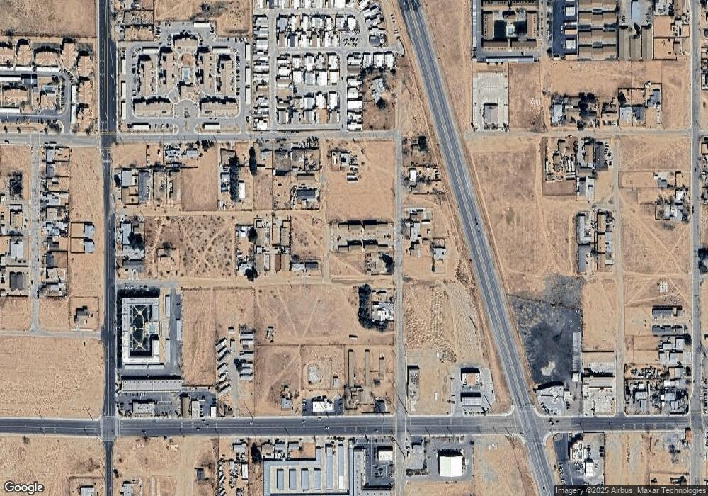
Map
Nearby Homes
- 0 Pineridge Rd Unit HD25165621
- 0 Pineridge Rd Unit HD25154745
- 0 Highway 395 Unit HD25092944
- 0 U S 395 Unit PW25091720
- 0 Highway 395 Unit IG25069976
- 0 U S 395 Unit HD25025025
- 0 U S 395 Unit HD24234527
- 0 Brockman Ave Unit TR25098778
- 0 Brockman Ave Unit HD25006934
- 0 Brockman Ave Unit HD25006930
- 0 Brockman Ave Unit HD24119177
- 0 Lee Ave
- 18340 Delicious St
- 11420 Lee Ave Unit 48
- 11420 Lee Ave Unit 18
- 11560 Sage St
- 18218 Bellflower St
- 18232 Bellflower St
- 11423 Chamberlaine Way Unit 28
- 0 Vacant Land Unit CV24011927
- 18251 Madrone St
- 18240 Delicious St
- 0 Off Mountain Rd Unit W09088345
- 0 Air Expressway Industrial Land Unit S628216
- 0 No Site Address Unit CC316135
- 0 No Direct Access Unit EV13003128
- 0 Pineridge Rd Unit SB14223206
- 0 Pineridge Rd Unit SB16180503
- 0 Pineridge Rd Unit TR14050902
- 0 0458281060000 Unit SR15259898
- 0 Pineridge Rd Unit 16-103862
- 0 Pineridge Rd Unit 323852
- 0 No Site Address Unit 406102
- 0 No Site Address Unit 410254
- 0 Pineridge Rd Unit 520364
- 0 No Direct Access Unit 424527
- 0 No Site Address Unit 469335
- 0 Pineridge Rd Unit 475670
- 0 Pineridge Rd Unit 506514
- 18252 Delicious St