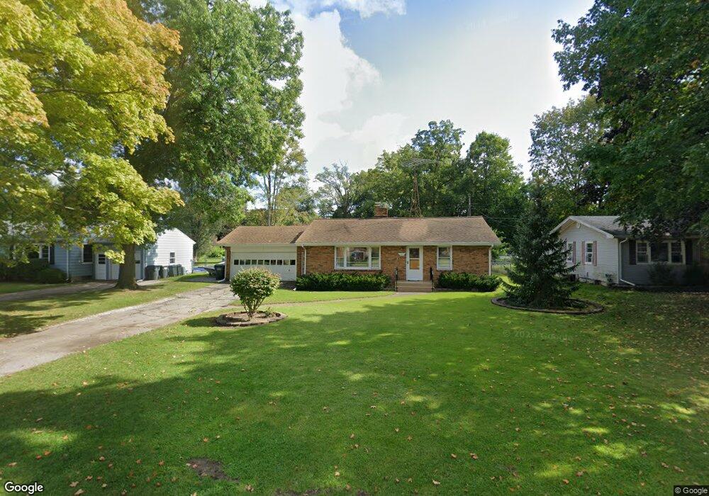
1825 Broadmoor Dr Benton Harbor, MI 49022
Fair Plain NeighborhoodEstimated Value: $204,000 - $251,000
3
Beds
2
Baths
1,400
Sq Ft
$163/Sq Ft
Est. Value
About This Home
This home is located at 1825 Broadmoor Dr, Benton Harbor, MI 49022 and is currently estimated at $227,700, approximately $162 per square foot. 1825 Broadmoor Dr is a home located in Berrien County with nearby schools including Fair Plain Middle School, Benton Harbor High School, and Benton Harbor Charter School Academy.
Ownership History
Date
Name
Owned For
Owner Type
Purchase Details
Closed on
Jun 18, 2008
Sold by
Poole Chad A and Poole Kimberly D
Bought by
Heim John R and Heim Marie C
Current Estimated Value
Home Financials for this Owner
Home Financials are based on the most recent Mortgage that was taken out on this home.
Original Mortgage
$84,800
Interest Rate
6.04%
Mortgage Type
Purchase Money Mortgage
Purchase Details
Closed on
Oct 11, 1998
Purchase Details
Closed on
Jul 12, 1982
Purchase Details
Closed on
Dec 4, 1978
Create a Home Valuation Report for This Property
The Home Valuation Report is an in-depth analysis detailing your home's value as well as a comparison with similar homes in the area
Home Values in the Area
Average Home Value in this Area
Purchase History
| Date | Buyer | Sale Price | Title Company |
|---|---|---|---|
| Heim John R | $106,000 | Met | |
| -- | $69,500 | -- | |
| -- | $32,000 | -- | |
| -- | -- | -- |
Source: Public Records
Mortgage History
| Date | Status | Borrower | Loan Amount |
|---|---|---|---|
| Closed | Heim John R | $84,800 |
Source: Public Records
Tax History Compared to Growth
Tax History
| Year | Tax Paid | Tax Assessment Tax Assessment Total Assessment is a certain percentage of the fair market value that is determined by local assessors to be the total taxable value of land and additions on the property. | Land | Improvement |
|---|---|---|---|---|
| 2025 | $1,684 | $101,000 | $0 | $0 |
| 2024 | $1,004 | $80,700 | $0 | $0 |
| 2023 | $956 | $66,700 | $0 | $0 |
| 2022 | $910 | $62,800 | $0 | $0 |
| 2021 | $1,472 | $66,600 | $11,800 | $54,800 |
| 2020 | $1,372 | $64,700 | $0 | $0 |
| 2019 | $1,316 | $53,300 | $8,000 | $45,300 |
| 2018 | $1,240 | $53,300 | $0 | $0 |
| 2017 | $1,223 | $53,100 | $0 | $0 |
| 2016 | $1,188 | $52,600 | $0 | $0 |
| 2015 | $1,185 | $47,000 | $0 | $0 |
| 2014 | $772 | $45,600 | $0 | $0 |
Source: Public Records
Map
Nearby Homes
- 1803 Heath Ct
- 235 Fisk Rd
- 117 Messner Dr
- 424 W Napier Ave
- 484 W Napier Ave
- 1762 Smyers Dr
- 275 Benjamin St
- 287 Nickerson Ave
- 449 E Napier Ave
- 379 Western Ave
- 513 N Ottawa Rd
- 1606 Stanley Dr
- 1565 Miami Rd
- 1913 E Ogden Ave
- 180 Emery Ave
- 1235 Colfax Ave
- 1332 Columbus Ave
- 1510 Moccasin Trail
- 1267 Broadway
- 682 Waverly Dr
- 1813 Broadmoor Dr
- 1812 Broadmoor Dr
- 1837 Broadmoor Dr
- 1800 Broadmoor Dr
- 1824 Broadmoor Dr
- 1843 Broadmoor Dr
- 1781 Broadmoor Dr
- 1836 Broadmoor Dr
- 175 Fisk Rd
- 173 Lormar Ave
- 1763 Broadmoor Dr
- 1844 Colfax Ave
- 1778 Colfax Ave
- 1827 Heath Ct
- 187 Fisk Rd
- 1804 Colfax Ave
- 1835 Heath Ct
- 1820 Colfax Ave
- 1764 Colfax Ave
- 1819 Heath Ct